TopoQuest Logo
Do you find TopoQuest useful?
Help keep TopoQuest running and adding new maps/features by donating!
Bitcoin:  19c7KJd3qBynnjoSw5npx9KScwjBe4ifkT
Litecoin:  LXs6TkuXGGXo1vDsWCkWVdjQX94eUKd6ui
Home View Maps Find Maps Find Places Resources & Links


Delmont, South Dakota Topographic Map

USGS Map Title: Delmont, SD
USGS Map MRC: 43098C2
DRG (GeoTIFF) Download: o43098c2.tif


Neighboring USGS Topographic Map Quads:


  Corsica Lake, SD  
43098D3
 

  Hillside, SD  
43098D2
 

  Delmont NE, SD  
43098D1
 

  Armour, SD  
43098C3
 

  Delmont, SD  
43098C2
 

  Delmont SE, SD  
43098C1
 

  Wagner NE, SD  
43098B3
 

  Greenwood Colony, SD  
43098B2
 

  Oak Hollow, SD  
43098B1


Map MRC Location:

N44°
W99°
N44°
W98°
H8 H7 H6 H5 H4 H3 H2 H1
G8 G7 G6 G5 G4 G3 G2 G1
F8 F7 F6 F5 F4 F3 F2 F1
E8 E7 E6 E5 E4 E3 E2 E1
D8 D7 D6 D5 D4 D3 D2 D1
C8 C7 C6 C5 C4 C3 C2 C1
B8 B7 B6 B5 B4 B3 B2 B1
A8 A7 A6 A5 A4 A3 A2 A1
N43°
W99°
N43°
W98°

Delmont, SD USGS 1:24K Topographic Map Preview:
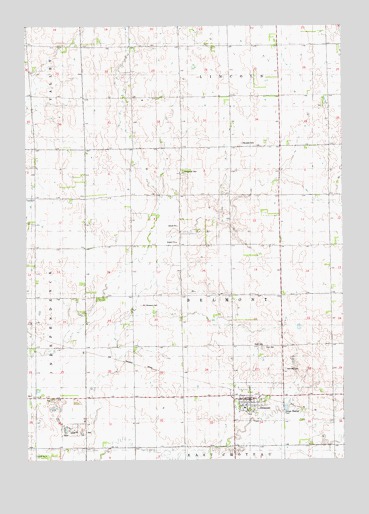
Delmont, SD USGS Topographic Map
Click on map above to begin viewing in our Map Viewer.

This topographic map contains these locations and features:
Feature Name Type Latitude Longitude GNIS ID View Map
Baier School (historical)SchoolN43.3611°W98.2087°1265735View Map
Brenner School (historical)SchoolN43.3125°W98.2170°1265736View Map
City of DelmontCivilN43.2666°W98.1592°1267352View Map
DelmontPopulated PlaceN43.2675°W98.1623°1254665View Map
Delmont CemeteryCemeteryN43.2758°W98.1484°1254666View Map
Delmont Community CenterBuildingN43.2673°W98.1630°2727707View Map
Delmont Police DepartmentBuildingN43.2678°W98.1628°2755623View Map
Delmont Post OfficePost OfficeN43.2674°W98.1633°2709813View Map
Delmont Volunteer Fire DepartmentBuildingN43.2677°W98.1632°2580692View Map
Emmanuel Lutheran CemeteryCemeteryN43.3330°W98.1884°1255736View Map
Hope Lutheran CemeteryCemeteryN43.2822°W98.1573°1255642View Map
Lindbergh School (historical)SchoolN43.3694°W98.1406°1264268View Map
Maitland (historical)LocaleN43.2680°W98.2476°1264296View Map
Neusatz CemeteryCemeteryN43.3411°W98.1646°1256674View Map
Old Missouri CemeteryCemeteryN43.2947°W98.2048°1256865View Map
Opera Block LibraryBuildingN43.2678°W98.1627°2723461View Map
Schroeder SchoolSchoolN43.3250°W98.2462°1264267View Map
Serr School (historical)SchoolN43.3111°W98.1490°1264269View Map
Township of BelmontCivilN43.2976°W98.1688°1268863View Map
Township of HustonCivilN43.3194°W98.1698°1268864View Map
Zion Lutheran CemeteryCemeteryN43.2822°W98.1562°1259108View Map

Note: Coordinates in the location and feature list above are referenced to NAD83 datum.


Copyright (C) 2008-2024 Ryan Niemi / Sunset Dynamics ... All Rights Reserved