TopoQuest Logo
Do you find TopoQuest useful?
Help keep TopoQuest running and adding new maps/features by donating!
Bitcoin:  19c7KJd3qBynnjoSw5npx9KScwjBe4ifkT
Litecoin:  LXs6TkuXGGXo1vDsWCkWVdjQX94eUKd6ui
Home View Maps Find Maps Find Places Resources & Links


Jerico, Iowa Topographic Map

USGS Map Title: Jerico, IA
USGS Map MRC: 43092B3
DRG (GeoTIFF) Download: o43092b3.tif


Neighboring USGS Topographic Map Quads:


  Saratoga, IA  
43092C4
 

  Lourdes, IA  
43092C3
 

  Cresco SW, IA  
43092C2
 

  Elma, IA  
43092B4
 

  Jerico, IA  
43092B3
 

  Saude, IA  
43092B2
 

  Ionia, IA  
43092A4
 

  New Hampton, IA  
43092A3
 

  Lawler, IA  
43092A2


Map MRC Location:

N44°
W93°
N44°
W92°
H8 H7 H6 H5 H4 H3 H2 H1
G8 G7 G6 G5 G4 G3 G2 G1
F8 F7 F6 F5 F4 F3 F2 F1
E8 E7 E6 E5 E4 E3 E2 E1
D8 D7 D6 D5 D4 D3 D2 D1
C8 C7 C6 C5 C4 C3 C2 C1
B8 B7 B6 B5 B4 B3 B2 B1
A8 A7 A6 A5 A4 A3 A2 A1
N43°
W93°
N43°
W92°

Jerico, IA USGS 1:24K Topographic Map Preview:
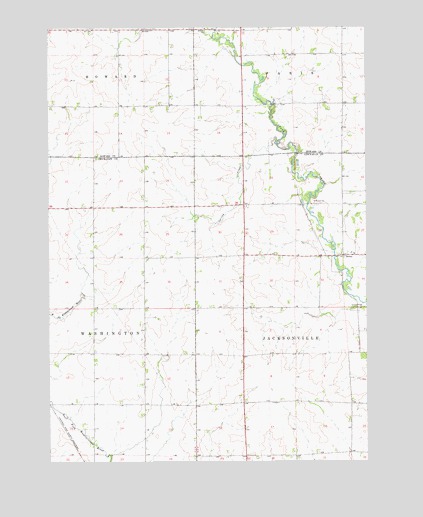
Jerico, IA USGS Topographic Map
Click on map above to begin viewing in our Map Viewer.

This topographic map contains these locations and features:
Feature Name Type Latitude Longitude GNIS ID View Map
Crane Creek Wildlife AreaParkN43.2333°W92.2918°1948699View Map
JericoPopulated PlaceN43.1847°W92.2585°457944View Map
Jerico Lutheran CemeteryCemeteryN43.1850°W92.2571°1948641View Map
Jerico Post Office (historical)Post OfficeN43.1847°W92.2585°1948533View Map
Jerico Wildlife AreaParkN43.1972°W92.2585°1948510View Map
Johnny Walnut Seed Conservation AreaParkN43.1986°W92.2738°1948509View Map
Saint Patricks Catholic CemeteryCemeteryN43.1847°W92.2552°1948640View Map
Sargeant Farm CemeteryCemeteryN43.1777°W92.2613°1948631View Map
Sturgis Post Office (historical)Post OfficeN43.2305°W92.3002°1948719View Map
Township of JacksonvilleCivilN43.1481°W92.2584°468122View Map

Note: Coordinates in the location and feature list above are referenced to NAD83 datum.


Copyright (C) 2008-2024 Ryan Niemi / Sunset Dynamics ... All Rights Reserved