TopoQuest Logo
Do you find TopoQuest useful?
Help keep TopoQuest running and adding new maps/features by donating!
Bitcoin:  19c7KJd3qBynnjoSw5npx9KScwjBe4ifkT
Litecoin:  LXs6TkuXGGXo1vDsWCkWVdjQX94eUKd6ui
Home View Maps Find Maps Find Places Resources & Links


Riverside, Iowa Topographic Map

USGS Map Title: Riverside, IA
USGS Map MRC: 41091D5
DRG (GeoTIFF) Download: o41091d5.tif


Neighboring USGS Topographic Map Quads:


  Williamstown, IA  
41091E6
 

  Hills, IA  
41091E5
 

  West Liberty SW, IA  
41091E4
 

  Kalona, IA  
41091D6
 

  Riverside, IA  
41091D5
 

  Lone Tree, IA  
41091D4
 

  Washington, IA  
41091C6
 

  Ainsworth, IA  
41091C5
 

  Cotter, IA  
41091C4


Map MRC Location:

N42°
W92°
N42°
W91°
H8 H7 H6 H5 H4 H3 H2 H1
G8 G7 G6 G5 G4 G3 G2 G1
F8 F7 F6 F5 F4 F3 F2 F1
E8 E7 E6 E5 E4 E3 E2 E1
D8 D7 D6 D5 D4 D3 D2 D1
C8 C7 C6 C5 C4 C3 C2 C1
B8 B7 B6 B5 B4 B3 B2 B1
A8 A7 A6 A5 A4 A3 A2 A1
N41°
W92°
N41°
W91°

Riverside, IA USGS 1:24K Topographic Map Preview:
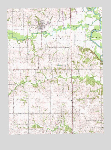
Riverside, IA USGS Topographic Map
Click on map above to begin viewing in our Map Viewer.

This topographic map contains these locations and features:
Feature Name Type Latitude Longitude GNIS ID View Map
Bulgers RunStreamN41.4753°W91.6224°454971View Map
City of RiversideCivilN41.4981°W91.5366°2396384View Map
Dairy Post Office (historical)Post OfficeN41.4028°W91.5585°466608View Map
Davis CreekLocaleN41.4311°W91.5668°466010View Map
Davis Creek Post Office (historical)Post OfficeN41.4334°W91.5654°1981632View Map
English RiverStreamN41.4875°W91.5018°456379View Map
Harrisburg CemeteryCemeteryN41.3770°W91.5227°457285View Map
Highland High SchoolSchoolN41.4079°W91.5417°457482View Map
Highland Middle SchoolSchoolN41.4075°W91.5415°2719963View Map
Iowa Junction (historical)Populated PlaceN41.4925°W91.5352°464279View Map
Iowa Township ParkParkN41.4856°W91.5824°1981611View Map
Kupka CemeteryCemeteryN41.4445°W91.5502°1981809View Map
Locust Grove CemeteryCemeteryN41.4106°W91.5993°458554View Map
Mount Olivet CemeteryCemeteryN41.4864°W91.5804°459322View Map
Patterson CemeteryCemeteryN41.4334°W91.5724°1981808View Map
Pfeifer FieldAirportN41.4545°W91.6172°2770565View Map
RiversidePopulated PlaceN41.4797°W91.5813°460657View Map
Riverside (historical)LocaleN41.4789°W91.5807°1981651View Map
Riverside CemeteryCemeteryN41.4870°W91.5788°460659View Map
Riverside City HallBuildingN41.4797°W91.5813°1981647View Map
Riverside Elementary SchoolSchoolN41.4876°W91.5722°1981649View Map
Riverside Fire Department and First RespondersBuildingN41.4799°W91.5774°2577361View Map
Riverside Grain and Feed Company ElevatorLocaleN41.4789°W91.5810°1981650View Map
Riverside Post OfficePost OfficeN41.4797°W91.5813°1981648View Map
Saint Mary's ChurchChurchN41.4834°W91.5816°1981646View Map
Saint Vincent CemeteryCemeteryN41.4875°W91.6190°461343View Map
Township of HighlandCivilN41.3807°W91.5419°468042View Map
Township of IowaCivilN41.4658°W91.5699°468084View Map
Trinity Methodist ChurchChurchN41.4806°W91.5810°1981645View Map
YaltonLocaleN41.4600°W91.5421°466011View Map
Yatton (historical)Populated PlaceN41.4636°W91.5838°465507View Map
Yatton Post Office (historical)Post OfficeN41.4681°W91.5807°1981633View Map

Note: Coordinates in the location and feature list above are referenced to NAD83 datum.


Copyright (C) 2008-2024 Ryan Niemi / Sunset Dynamics ... All Rights Reserved