TopoQuest Logo
Do you find TopoQuest useful?
Help keep TopoQuest running and adding new maps/features by donating!
Bitcoin:  19c7KJd3qBynnjoSw5npx9KScwjBe4ifkT
Litecoin:  LXs6TkuXGGXo1vDsWCkWVdjQX94eUKd6ui
Home View Maps Find Maps Find Places Resources & Links


Mechanicsville, Iowa Topographic Map

USGS Map Title: Mechanicsville, IA
USGS Map MRC: 41091H3
DRG (GeoTIFF) Download: o41091h3.tif


Neighboring USGS Topographic Map Quads:


  Springville, IA  
42091A4
 

  Anamosa, IA  
42091A3
 

  Morley, IA  
42091A2
 

  Mount Vernon, IA  
41091H4
 

  Mechanicsville, IA  
41091H3
 

  Stanwood, IA  
41091H2
 

  Solon, IA  
41091G4
 

  Cedar Bluff, IA  
41091G3
 

  Tipton West, IA  
41091G2


Map MRC Location:

N42°
W92°
N42°
W91°
H8 H7 H6 H5 H4 H3 H2 H1
G8 G7 G6 G5 G4 G3 G2 G1
F8 F7 F6 F5 F4 F3 F2 F1
E8 E7 E6 E5 E4 E3 E2 E1
D8 D7 D6 D5 D4 D3 D2 D1
C8 C7 C6 C5 C4 C3 C2 C1
B8 B7 B6 B5 B4 B3 B2 B1
A8 A7 A6 A5 A4 A3 A2 A1
N41°
W92°
N41°
W91°

Mechanicsville, IA USGS 1:24K Topographic Map Preview:
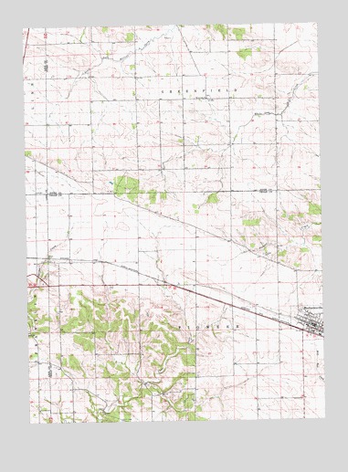
Mechanicsville, IA USGS Topographic Map
Click on map above to begin viewing in our Map Viewer.

This topographic map contains these locations and features:
Feature Name Type Latitude Longitude GNIS ID View Map
Andre CemeteryCemeteryN41.9267°W91.3654°454185View Map
City of MechanicsvilleCivilN41.9056°W91.2532°2395079View Map
MechanicsvilleLocaleN41.9028°W91.2546°2001615View Map
MechanicsvillePopulated PlaceN41.9045°W91.2546°458943View Map
Mechanicsville Family Practice CenterHospitalN41.9050°W91.2552°2001617View Map
Mechanicsville Fire DepartmentBuildingN41.9050°W91.2551°2577206View Map
Mechanicsville Nursing and Rehabilitation CenterHospitalN41.9083°W91.2527°2001616View Map
Mechanicsville Police DeptBuildingN41.9046°W91.2544°2001613View Map
Mechanicsville Post OfficePost OfficeN41.9047°W91.2627°2001614View Map
Mechanicsville Public LibraryBuildingN41.9047°W91.2535°2001612View Map
Mink Run Wildlife AreaParkN41.8820°W91.3488°2001522View Map
Pioneer CemeteryCemeteryN41.9272°W91.2743°460182View Map
Piper-Kohl CemeteryCemeteryN41.9583°W91.2918°2001881View Map
Presbyterian ChurchChurchN41.9039°W91.2516°2001620View Map
Rose Hill CemeteryCemeteryN41.9092°W91.2594°2001688View Map
Saint Marys Catholic ChurchChurchN41.9089°W91.2568°2001618View Map
Township of GreenfieldCivilN41.9908°W91.3070°467974View Map
Township of PioneerCivilN41.9035°W91.3076°468519View Map
Union CemeteryCemeteryN41.8750°W91.3360°462417View Map
United Methodist ChurchChurchN41.9039°W91.2529°2001619View Map
White Oak CemeteryCemeteryN41.9771°W91.2977°2001882View Map
White Oak ChurchChurchN41.9770°W91.2977°462988View Map
Yankee Grove Post Office (historical)Post OfficeN41.8820°W91.3424°2001523View Map

Note: Coordinates in the location and feature list above are referenced to NAD83 datum.


Copyright (C) 2008-2024 Ryan Niemi / Sunset Dynamics ... All Rights Reserved