TopoQuest Logo
Do you find TopoQuest useful?
Help keep TopoQuest running and adding new maps/features by donating!
Bitcoin:  19c7KJd3qBynnjoSw5npx9KScwjBe4ifkT
Litecoin:  LXs6TkuXGGXo1vDsWCkWVdjQX94eUKd6ui
Home View Maps Find Maps Find Places Resources & Links


Radcliffe, Iowa Topographic Map

USGS Map Title: Radcliffe, IA
USGS Map MRC: 42093C4
DRG (GeoTIFF) Download: o42093c4.tif


Neighboring USGS Topographic Map Quads:


  Williams, IA  
42093D5
 

  Buckeye West, IA  
42093D4
 

  Buckeye East, IA  
42093D3
 

  Ellsworth, IA  
42093C5
 

  Radcliffe, IA  
42093C4
 

  Hubbard, IA  
42093C3
 

  Story City, IA  
42093B5
 

  McCallsburg, IA  
42093B4
 

  Zearing, IA  
42093B3


Map MRC Location:

N43°
W94°
N43°
W93°
H8 H7 H6 H5 H4 H3 H2 H1
G8 G7 G6 G5 G4 G3 G2 G1
F8 F7 F6 F5 F4 F3 F2 F1
E8 E7 E6 E5 E4 E3 E2 E1
D8 D7 D6 D5 D4 D3 D2 D1
C8 C7 C6 C5 C4 C3 C2 C1
B8 B7 B6 B5 B4 B3 B2 B1
A8 A7 A6 A5 A4 A3 A2 A1
N42°
W94°
N42°
W93°

Radcliffe, IA USGS 1:24K Topographic Map Preview:
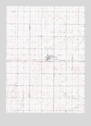
Radcliffe, IA USGS Topographic Map
Click on map above to begin viewing in our Map Viewer.

This topographic map contains these locations and features:
Feature Name Type Latitude Longitude GNIS ID View Map
Bethany CemeteryCemeteryN42.3683°W93.4919°454538View Map
City of RadcliffeCivilN42.3177°W93.4343°2396305View Map
Concord Township CemeteryCemeteryN42.2700°W93.4056°455562View Map
Drake AirportAirportN42.3167°W93.4169°466922View Map
Faith Evangelical ChurchChurchN42.3119°W93.4235°1997616View Map
Farmers Co-op ElevatorLocaleN42.3128°W93.4347°1997613View Map
Friendly FairwaysLocaleN42.3147°W93.4197°1997621View Map
Hubbard - Radcliffe Elementary SchoolSchoolN42.3168°W93.4347°1997620View Map
Lincoln CemeteryCemeteryN42.3103°W93.4999°458353View Map
Our Saviors Lutheran ChurchChurchN42.3180°W93.4349°1997614View Map
RadcliffePopulated PlaceN42.3153°W93.4344°460495View Map
Radcliffe (historical)LocaleN42.3125°W93.4335°1997619View Map
Radcliffe CemeteryCemeteryN42.3227°W93.4349°460496View Map
Radcliffe City ParkParkN42.3155°W93.4335°1997622View Map
Radcliffe Fire Department and Ambulance ServiceBuildingN42.3127°W93.4325°1997617View Map
Radcliffe LibraryBuildingN42.3133°W93.4338°1997612View Map
Radcliffe MuseumBuildingN42.3153°W93.4344°1997618View Map
Radcliffe Post OfficePost OfficeN42.3137°W93.4345°1997610View Map
Radcliffe Town HallBuildingN42.3150°W93.4338°1997611View Map
Rorem CemeteryCemeteryN42.2814°W93.4847°460782View Map
Saint John's United Methodist ChurchChurchN42.3139°W93.4302°1997615View Map
Salem ChurchChurchN42.2958°W93.4819°1823469View Map
ShermanLocaleN42.3522°W93.3755°1997502View Map
Township of ConcordCivilN42.2526°W93.4048°467648View Map
Township of ShermanCivilN42.3398°W93.4048°468697View Map

Note: Coordinates in the location and feature list above are referenced to NAD83 datum.


Copyright (C) 2008-2024 Ryan Niemi / Sunset Dynamics ... All Rights Reserved