TopoQuest Logo
Do you find TopoQuest useful?
Help keep TopoQuest running and adding new maps/features by donating!
Bitcoin:  19c7KJd3qBynnjoSw5npx9KScwjBe4ifkT
Litecoin:  LXs6TkuXGGXo1vDsWCkWVdjQX94eUKd6ui
Home View Maps Find Maps Find Places Resources & Links


Tipton East, Iowa Topographic Map

USGS Map Title: Tipton East, IA
USGS Map MRC: 41091G1
DRG (GeoTIFF) Download: o41091g1.tif


Neighboring USGS Topographic Map Quads:


  Stanwood, IA  
41091H2
 

  Clarence, IA  
41091H1
 

  Oxford Junction, IA  
41090H8
 

  Tipton West, IA  
41091G2
 

  Tipton East, IA  
41091G1
 

  Lowden, IA  
41090G8
 

  Rochester, IA  
41091F2
 

  Lime City, IA  
41091F1
 

  Bennett, IA  
41090F8


Map MRC Location:

N42°
W92°
N42°
W91°
H8 H7 H6 H5 H4 H3 H2 H1
G8 G7 G6 G5 G4 G3 G2 G1
F8 F7 F6 F5 F4 F3 F2 F1
E8 E7 E6 E5 E4 E3 E2 E1
D8 D7 D6 D5 D4 D3 D2 D1
C8 C7 C6 C5 C4 C3 C2 C1
B8 B7 B6 B5 B4 B3 B2 B1
A8 A7 A6 A5 A4 A3 A2 A1
N41°
W92°
N41°
W91°

Tipton East, IA USGS 1:24K Topographic Map Preview:
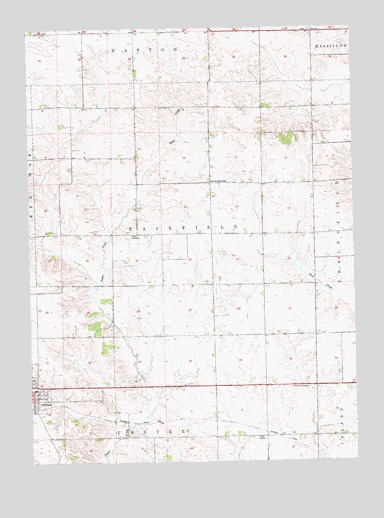
Tipton East, IA USGS Topographic Map
Click on map above to begin viewing in our Map Viewer.

This topographic map contains these locations and features:
Feature Name Type Latitude Longitude GNIS ID View Map
Apostolic Church of TiptonChurchN41.7706°W91.1196°2001580View Map
Calvary ChurchChurchN41.7700°W91.1232°2001581View Map
Cedar County JailBuildingN41.7617°W91.1220°2356191View Map
Cedar County JailBuildingN41.7618°W91.1219°2333462View Map
Cedar County Sheriff's OfficeBuildingN41.7618°W91.1220°2001585View Map
Cedar Manor Nursing HomeHospitalN41.7772°W91.1249°2001573View Map
Cessford Post Office (historical)Post OfficeN41.8084°W91.0640°2001524View Map
First Brick HouseBuildingN41.8122°W91.0038°463433View Map
GessfordLocaleN41.8203°W91.0835°466081View Map
Harmony Point SchoolSchoolN41.8306°W91.0552°457268View Map
Kingdom Hall of Jehovahs WitnessesChurchN41.7706°W91.1199°2001582View Map
RoselleLocaleN41.8295°W91.0154°466080View Map
Tipton City ParkParkN41.7734°W91.1215°2001557View Map
Tipton High SchoolSchoolN41.7711°W91.1235°2719897View Map
Township of FairfieldCivilN41.8181°W91.0657°467809View Map
Virginia Grove CemeteryCemeteryN41.7528°W91.0835°2001664View Map
Woodbridge Post Office (historical)Post OfficeN41.7722°W91.0946°2001537View Map
Wright CemeteryCemeteryN41.7570°W91.0354°463217View Map
York PrairieLocaleN41.7711°W91.0163°466076View Map
York Prairie CemeteryCemeteryN41.7714°W91.0252°463246View Map
York Prairie Post Office (historical)Post OfficeN41.7711°W91.0163°2001536View Map

Note: Coordinates in the location and feature list above are referenced to NAD83 datum.


Copyright (C) 2008-2024 Ryan Niemi / Sunset Dynamics ... All Rights Reserved