TopoQuest Logo
Do you find TopoQuest useful?
Help keep TopoQuest running and adding new maps/features by donating!
Bitcoin:  19c7KJd3qBynnjoSw5npx9KScwjBe4ifkT
Litecoin:  LXs6TkuXGGXo1vDsWCkWVdjQX94eUKd6ui
Home View Maps Find Maps Find Places Resources & Links


Cushman, Montana Topographic Map

USGS Map Title: Cushman, MT
USGS Map MRC: 46109C1
DRG (GeoTIFF) Download: o46109c1.tif


Neighboring USGS Topographic Map Quads:


  Cushman NW, MT  
46109D2
 

  Cushman NE, MT  
46109D1
 

  Lavina NW, MT  
46108D8
 

  Ryegate East, MT  
46109C2
 

  Cushman, MT  
46109C1
 

  Lavina, MT  
46108C8
 

  Mount Sinai, MT  
46109B2
 

  Eagle Point, MT  
46109B1
 

  Belmont, MT  
46108B8


Map MRC Location:

N47°
W110°
N47°
W109°
H8 H7 H6 H5 H4 H3 H2 H1
G8 G7 G6 G5 G4 G3 G2 G1
F8 F7 F6 F5 F4 F3 F2 F1
E8 E7 E6 E5 E4 E3 E2 E1
D8 D7 D6 D5 D4 D3 D2 D1
C8 C7 C6 C5 C4 C3 C2 C1
B8 B7 B6 B5 B4 B3 B2 B1
A8 A7 A6 A5 A4 A3 A2 A1
N46°
W110°
N46°
W109°

Cushman, MT USGS 1:24K Topographic Map Preview:
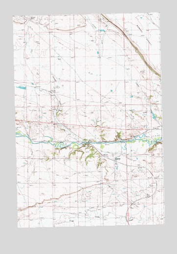
Cushman, MT USGS Topographic Map
Click on map above to begin viewing in our Map Viewer.

This topographic map contains these locations and features:
Feature Name Type Latitude Longitude GNIS ID View Map
06N21E22BDA_01 WellWellN46.2563°W109.0827°814849View Map
06N21E24CAA_01 WellWellN46.2555°W109.0438°814840View Map
06N22E19CDAB01 WellWellN46.2519°W109.0221°814802View Map
Burgoyne Post Office (historical)Post OfficeN46.2991°W109.0999°1723007View Map
Burgoyne Siding (historical)LocaleN46.2991°W109.0999°769405View Map
CushmanPopulated PlaceN46.2883°W109.0427°770384View Map
CushmanLocaleN46.2891°W109.0427°1723004View Map
Cushman Post Office (historical)Post OfficeN46.2883°W109.0427°1723003View Map
Fratt (historical)LocaleN46.2916°W109.0507°1722995View Map
Gerdts DamDamN46.3533°W109.0557°797731View Map
Ninemile CreekStreamN46.2988°W109.0652°774646View Map
Ninemile SpringSpringN46.3735°W109.1095°805758View Map
Olden Post Office (historical)Post OfficeN46.2916°W109.0402°1722986View Map
Slayton (historical)LocaleN46.3000°W109.0646°1722976View Map
Slayton Junction (historical)Populated PlaceN46.2980°W109.0616°776634View Map
Slayton Post Office (historical)Post OfficeN46.3000°W109.0646°1722974View Map
Vebar (historical)LocaleN46.3325°W109.1077°1722975View Map

Note: Coordinates in the location and feature list above are referenced to NAD83 datum.


Copyright (C) 2008-2024 Ryan Niemi / Sunset Dynamics ... All Rights Reserved