TopoQuest Logo
Do you find TopoQuest useful?
Help keep TopoQuest running and adding new maps/features by donating!
Bitcoin:  19c7KJd3qBynnjoSw5npx9KScwjBe4ifkT
Litecoin:  LXs6TkuXGGXo1vDsWCkWVdjQX94eUKd6ui
Home View Maps Find Maps Find Places Resources & Links


Dead Boy Divide, Montana Topographic Map

USGS Map Title: Dead Boy Divide, MT
USGS Map MRC: 45104F5
DRG (GeoTIFF) Download: o45104f5.tif


Neighboring USGS Topographic Map Quads:


  Beaver Flats South, MT  
45104G6
 

  Stagville Draw, MT  
45104G5
 

  Camp Needmore, MT  
45104G4
 

  Chalk Buttes, MT  
45104F6
 

  Dead Boy Divide, MT  
45104F5
 

  Taylor Hills, MT  
45104F4
 

  Dutchman Creek, MT  
45104E6
 

  Ikey Creek, MT  
45104E5
 

  School Section Creek, MT  
45104E4


Map MRC Location:

N46°
W105°
N46°
W104°
H8 H7 H6 H5 H4 H3 H2 H1
G8 G7 G6 G5 G4 G3 G2 G1
F8 F7 F6 F5 F4 F3 F2 F1
E8 E7 E6 E5 E4 E3 E2 E1
D8 D7 D6 D5 D4 D3 D2 D1
C8 C7 C6 C5 C4 C3 C2 C1
B8 B7 B6 B5 B4 B3 B2 B1
A8 A7 A6 A5 A4 A3 A2 A1
N45°
W105°
N45°
W104°

Dead Boy Divide, MT USGS 1:24K Topographic Map Preview:
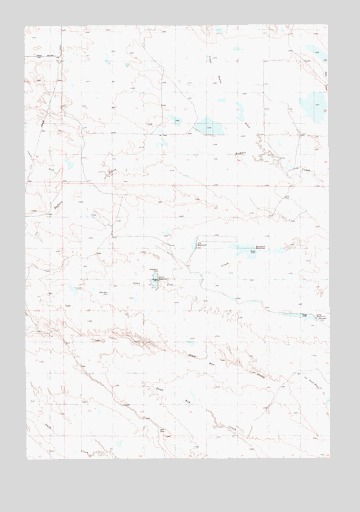
Dead Boy Divide, MT USGS Topographic Map
Click on map above to begin viewing in our Map Viewer.

This topographic map contains these locations and features:
Feature Name Type Latitude Longitude GNIS ID View Map
01S57E24DAA_01 WellWellN45.7397°W104.5475°811566View Map
Apache DamDamN45.6667°W104.6005°795677View Map
Apache ReservoirReservoirN45.6738°W104.6058°768316View Map
Blackfoot DamDamN45.6850°W104.5388°795680View Map
Blackfoot ReservoirReservoirN45.6848°W104.5335°768996View Map
Cherokee ReservoirReservoirN45.6701°W104.5318°769779View Map
Cheyenne Detention DamDamN45.6900°W104.5705°797333View Map
Cheyenne ReservoirReservoirN45.6901°W104.5670°769805View Map
Cline Number 2 DamDamN45.7200°W104.5438°797920View Map
Cline Number 3 DamDamN45.7217°W104.5638°797921View Map
Dead Boy DivideRidgeN45.6547°W104.5569°770503View Map
Foster DrawValleyN45.7081°W104.6025°771539View Map
Fresh Water DrawValleyN45.7142°W104.5275°771635View Map
Gros Ventre DamDamN45.6850°W104.5688°795682View Map
Gros Ventre ReservoirReservoirN45.6756°W104.5540°772010View Map
Lone Tree Reservoir DamDamN45.6550°W104.5622°797334View Map
Lone Tree Reservoir Number OneReservoirN45.6708°W104.5400°773607View Map
Lone Tree Reservoir Number TwoReservoirN45.6585°W104.5576°773608View Map
Long DamDamN45.6667°W104.5238°795684View Map
Long ReservoirReservoirN45.6661°W104.5115°773653View Map
Navaho DamDamN45.6867°W104.6005°795679View Map
Navaho ReservoirReservoirN45.6741°W104.5912°774557View Map
Prairie Dale (historical)Populated PlaceN45.6972°W104.5033°1688716View Map
Sioux ReservoirReservoirN45.6761°W104.5716°776580View Map
Soda LakesLakeN45.7263°W104.5043°776726View Map
Ute DamDamN45.6867°W104.5672°795678View Map
Ute ReservoirReservoirN45.6861°W104.5564°777953View Map
Wichiup ReservoirReservoirN45.6847°W104.5218°778447View Map

Note: Coordinates in the location and feature list above are referenced to NAD83 datum.


Copyright (C) 2008-2025 Ryan Niemi / Sunset Dynamics ... All Rights Reserved