TopoQuest Logo
Do you find TopoQuest useful?
Help keep TopoQuest running and adding new maps/features by donating!
Bitcoin:  19c7KJd3qBynnjoSw5npx9KScwjBe4ifkT
Litecoin:  LXs6TkuXGGXo1vDsWCkWVdjQX94eUKd6ui
Home View Maps Find Maps Find Places Resources & Links


Ervay Basin, Wyoming Topographic Map

USGS Map Title: Ervay Basin, WY
USGS Map MRC: 42107H4
DRG (GeoTIFF) Download: o42107h4.tif


Neighboring USGS Topographic Map Quads:


  Moneta SE, WY  
43107A5
 

  Arminto SW, WY  
43107A4
 

  Hiland, WY  
43107A3
 

  Miles Ranch, WY  
42107H5
 

  Ervay Basin, WY  
42107H4
 

  McRae Gap, WY  
42107H3
 

  Gas Hills, WY  
42107G5
 

  Ervay Basin SW, WY  
42107G4
 

  Garfield Peak, WY  
42107G3


Map MRC Location:

N43°
W108°
N43°
W107°
H8 H7 H6 H5 H4 H3 H2 H1
G8 G7 G6 G5 G4 G3 G2 G1
F8 F7 F6 F5 F4 F3 F2 F1
E8 E7 E6 E5 E4 E3 E2 E1
D8 D7 D6 D5 D4 D3 D2 D1
C8 C7 C6 C5 C4 C3 C2 C1
B8 B7 B6 B5 B4 B3 B2 B1
A8 A7 A6 A5 A4 A3 A2 A1
N42°
W108°
N42°
W107°

Ervay Basin, WY USGS 1:24K Topographic Map Preview:
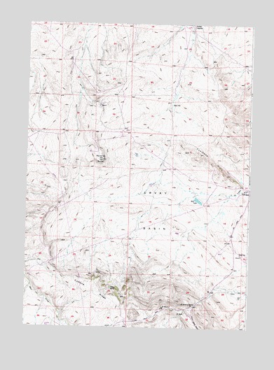
Ervay Basin, WY USGS Topographic Map
Click on map above to begin viewing in our Map Viewer.

This topographic map contains these locations and features:
Feature Name Type Latitude Longitude GNIS ID View Map
Boss MineMineN42.8755°W107.4520°1726310View Map
Bridge Number One MineMineN42.9916°W107.4831°1726311View Map
Coalbank Hills MineMineN42.9477°W107.4062°1726306View Map
Collins SpringSpringN42.8911°W107.4519°1586903View Map
Cyclone RidgeRidgeN42.8933°W107.4617°1587315View Map
Defelder ReservoirReservoirN42.9995°W107.4091°1587513View Map
Dick Number Six MineMineN42.9916°W107.4831°1726312View Map
Doc Number Thirteen MineMineN42.9916°W107.4726°1726313View Map
Ervay BasinBasinN42.9233°W107.4281°1588328View Map
Hart WellWellN42.8872°W107.3798°1589350View Map
Hoff LakeLakeN42.9276°W107.4039°1589606View Map
JE RanchLocaleN42.8813°W107.4098°1589986View Map
JE SchoolSchoolN42.8833°W107.4187°1589987View Map
JE Sulphur SpringSpringN42.8847°W107.4047°1589988View Map
Lee MineMineN42.9063°W107.4523°1726309View Map
Maverick ButteSummitN42.9441°W107.4573°1591268View Map
Niball Number Eleven MineMineN42.9916°W107.4726°1726314View Map
Niball Number Twelve MineMineN42.9916°W107.4726°1726315View Map
RadervillePopulated PlaceN42.9055°W107.3787°1597465View Map
Raderville Post Office (historical)Post OfficeN42.9055°W107.3787°1926802View Map
Ridge Number One MineMineN42.8933°W107.4570°1726316View Map
Sagebrush Number Fifteen MineMineN42.8894°W107.3887°1726317View Map
Skyline MineMineN42.8755°W107.4520°1726308View Map
Teton MineMineN42.8897°W107.4520°1726318View Map
Wagner WellWellN42.9666°W107.4190°1595967View Map
Wentz MineMineN42.9063°W107.4523°1726307View Map

Note: Coordinates in the location and feature list above are referenced to NAD83 datum.


Copyright (C) 2008-2025 Ryan Niemi / Sunset Dynamics ... All Rights Reserved