TopoQuest Logo
Do you find TopoQuest useful?
Help keep TopoQuest running and adding new maps/features by donating!
Bitcoin:  19c7KJd3qBynnjoSw5npx9KScwjBe4ifkT
Litecoin:  LXs6TkuXGGXo1vDsWCkWVdjQX94eUKd6ui
Home View Maps Find Maps Find Places Resources & Links


Flat Top Hill, Wyoming Topographic Map

USGS Map Title: Flat Top Hill, WY
USGS Map MRC: 43106C8
DRG (GeoTIFF) Download: o43106c8.tif


Neighboring USGS Topographic Map Quads:


  First Water Draw, WY  
43107D1
 

  Roughlock Hill, WY  
43106D8
 

  Willow Creek School, WY  
43106D7
 

  Three Buttes, WY  
43107C1
 

  Flat Top Hill, WY  
43106C8
 

  Big Sulfur Draw, WY  
43106C7
 

  Notches Dome, WY  
43107B1
 

  Cave Gulch Reservoir, WY  
43106B8
 

  Anderson Draw, WY  
43106B7


Map MRC Location:

N44°
W107°
N44°
W106°
H8 H7 H6 H5 H4 H3 H2 H1
G8 G7 G6 G5 G4 G3 G2 G1
F8 F7 F6 F5 F4 F3 F2 F1
E8 E7 E6 E5 E4 E3 E2 E1
D8 D7 D6 D5 D4 D3 D2 D1
C8 C7 C6 C5 C4 C3 C2 C1
B8 B7 B6 B5 B4 B3 B2 B1
A8 A7 A6 A5 A4 A3 A2 A1
N43°
W107°
N43°
W106°

Flat Top Hill, WY USGS 1:24K Topographic Map Preview:
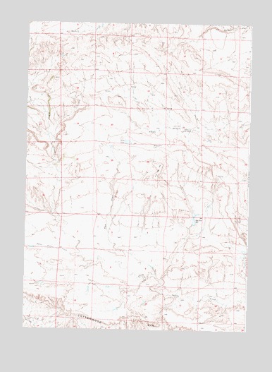
Flat Top Hill, WY USGS Topographic Map
Click on map above to begin viewing in our Map Viewer.

This topographic map contains these locations and features:
Feature Name Type Latitude Longitude GNIS ID View Map
Bar SpringSpringN43.3326°W106.9140°1585108View Map
Big Pike DamDamN43.3000°W106.9006°1608310View Map
Big Pike ReservoirReservoirN43.2946°W106.9054°1585489View Map
Big Pike ReservoirReservoirN43.3000°W106.9006°1608311View Map
Cottonwood RimCliffN43.2505°W106.8984°1587079View Map
Flat Top HillSummitN43.3150°W106.9253°1588573View Map
Irish LakeLakeN43.3266°W106.9433°1589944View Map
Kidd Ranch Number Five MineMineN43.3291°W106.9073°1746191View Map
Kidd Ranch Number One MineMineN43.3072°W106.8859°1746189View Map
Kidd Ranch Number Six MineMineN43.3219°W106.9070°1746192View Map
Kidd Ranch Number Ten MineMineN43.3441°W106.9173°1746193View Map
Kidd Ranch Number Twelve MineMineN43.3475°W106.9323°1746194View Map
Kidd Ranch Number Two MineMineN43.3183°W106.8912°1746190View Map
Lower Hackett DamDamN43.3750°W106.8756°1608336View Map
McLaughlin LakeLakeN43.3247°W106.9290°1591366View Map
Pike DrawValleyN43.2730°W106.9259°1592748View Map
Three Buttes CreekStreamN43.2802°W106.9670°1595532View Map
Upper Hacket DamDamN43.3750°W106.9339°1608326View Map
Upper Hacket ReservoirReservoirN43.3750°W106.9339°1608327View Map

Note: Coordinates in the location and feature list above are referenced to NAD83 datum.


Copyright (C) 2008-2025 Ryan Niemi / Sunset Dynamics ... All Rights Reserved