TopoQuest Logo
Do you find TopoQuest useful?
Help keep TopoQuest running and adding new maps/features by donating!
Bitcoin:  19c7KJd3qBynnjoSw5npx9KScwjBe4ifkT
Litecoin:  LXs6TkuXGGXo1vDsWCkWVdjQX94eUKd6ui
Home View Maps Find Maps Find Places Resources & Links


Forman, North Dakota Topographic Map

USGS Map Title: Forman, ND
USGS Map MRC: 46097A6
DRG (GeoTIFF) Download: o46097a6.tif


Neighboring USGS Topographic Map Quads:


  Stirum, ND  
46097B7
 

  Gwinner, ND  
46097B6
 

  Hoving, ND  
46097B5
 

  Cogswell, ND  
46097A7
 

  Forman, ND  
46097A6
 

  Rutland, ND  
46097A5
 

  Newark, SD  
45097H7
 

  Kidder, SD  
45097H6
 

  Havana, ND  
45097H5


Map MRC Location:

N47°
W98°
N47°
W97°
H8 H7 H6 H5 H4 H3 H2 H1
G8 G7 G6 G5 G4 G3 G2 G1
F8 F7 F6 F5 F4 F3 F2 F1
E8 E7 E6 E5 E4 E3 E2 E1
D8 D7 D6 D5 D4 D3 D2 D1
C8 C7 C6 C5 C4 C3 C2 C1
B8 B7 B6 B5 B4 B3 B2 B1
A8 A7 A6 A5 A4 A3 A2 A1
N46°
W98°
N46°
W97°

Forman, ND USGS 1:24K Topographic Map Preview:
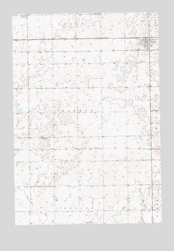
Forman, ND USGS Topographic Map
Click on map above to begin viewing in our Map Viewer.

This topographic map contains these locations and features:
Feature Name Type Latitude Longitude GNIS ID View Map
Buttke LakeLakeN46.0006°W97.6823°1028219View Map
City of FormanCivilN46.1037°W97.6365°1036039View Map
FormanPopulated PlaceN46.1077°W97.6365°1029006View Map
Forman City HallBuildingN46.1069°W97.6367°2744654View Map
Forman Fire Department Station 2BuildingN46.1096°W97.6367°2637601View Map
Forman Post OfficePost OfficeN46.1073°W97.6367°2742003View Map
Forman Public LibraryBuildingN46.1070°W97.6366°2745453View Map
Four Seasons Health Care CenterBuildingN46.1031°W97.6383°2748711View Map
Old Trinity CemeteryCemeteryN46.0666°W97.6328°1030560View Map
Sargent Central Public SchoolSchoolN46.1039°W97.6402°2747765View Map
Sargent CountyCivilN46.1079°W97.6307°1035303View Map
Sargent County Ambulance Service FormanBuildingN46.1068°W97.6369°2658838View Map
Sargent County CourthouseBuildingN46.1063°W97.6371°2743577View Map
Sargent County MuseumBuildingN46.1115°W97.6343°2748933View Map
Sargent County Sheriff's OfficeBuildingN46.1068°W97.6366°2734408View Map
School Number 2SchoolN46.1244°W97.7382°1031577View Map
School Number 4SchoolN46.0514°W97.7270°1031870View Map
School Number 4SchoolN46.1247°W97.6748°1031871View Map
Township of FormanCivilN46.0658°W97.6964°1036795View Map
Wild Rice CreekStreamN46.0153°W97.6409°1032806View Map

Note: Coordinates in the location and feature list above are referenced to NAD83 datum.


Copyright (C) 2008-2025 Ryan Niemi / Sunset Dynamics ... All Rights Reserved