TopoQuest Logo
Do you find TopoQuest useful?
Help keep TopoQuest running and adding new maps/features by donating!
Bitcoin:  19c7KJd3qBynnjoSw5npx9KScwjBe4ifkT
Litecoin:  LXs6TkuXGGXo1vDsWCkWVdjQX94eUKd6ui
Home View Maps Find Maps Find Places Resources & Links


Fort Reno SE, Wyoming Topographic Map

USGS Map Title: Fort Reno SE, WY
USGS Map MRC: 43106G1
DRG (GeoTIFF) Download: o43106g1.tif


Neighboring USGS Topographic Map Quads:


  Hoe Ranch, WY  
43106H2
 

  The Nipple, WY  
43106H1
 

  Fats Draw, WY  
43105H8
 

  Fort Reno, WY  
43106G2
 

  Fort Reno SE, WY  
43106G1
 

  North Butte, WY  
43105G8
 

  House Creek, WY  
43106F2
 

  Dry Fork Ranch, WY  
43106F1
 

  Rolling Pin Ranch, WY  
43105F8


Map MRC Location:

N44°
W107°
N44°
W106°
H8 H7 H6 H5 H4 H3 H2 H1
G8 G7 G6 G5 G4 G3 G2 G1
F8 F7 F6 F5 F4 F3 F2 F1
E8 E7 E6 E5 E4 E3 E2 E1
D8 D7 D6 D5 D4 D3 D2 D1
C8 C7 C6 C5 C4 C3 C2 C1
B8 B7 B6 B5 B4 B3 B2 B1
A8 A7 A6 A5 A4 A3 A2 A1
N43°
W107°
N43°
W106°

Fort Reno SE, WY USGS 1:24K Topographic Map Preview:
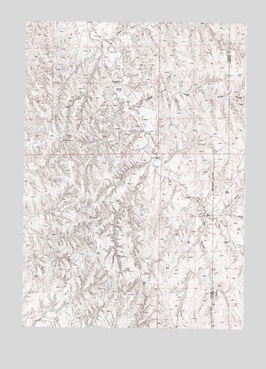
Fort Reno SE, WY USGS Topographic Map
Click on map above to begin viewing in our Map Viewer.

This topographic map contains these locations and features:
Feature Name Type Latitude Longitude GNIS ID View Map
A-Number Ninety-three MineMineN43.8703°W106.0045°1746292View Map
Channel Deposit MineMineN43.8436°W106.0195°1746303View Map
Charlite Ore Body MineMineN43.8283°W106.0595°1746304View Map
Christensen Lease MineMineN43.8591°W106.0006°1726488View Map
Christensen Lease Number Two MineMineN43.7916°W106.0528°1746305View Map
Christianson Ranch Joint Venture MineMineN43.8628°W106.1081°1746306View Map
Craney DrawValleyN43.8678°W106.0797°1587181View Map
Del GulchValleyN43.7955°W106.0239°1587515View Map
Drew RanchLocaleN43.8505°W106.0697°1587765View Map
Drew WellWellN43.8472°W106.0686°1587766View Map
First WellWellN43.8036°W106.0289°1588494View Map
Frank ClaimsMineN43.7914°W106.0625°1746293View Map
Heidt DrawValleyN43.8403°W106.0645°1584661View Map
Jack Christansen MineMineN43.7916°W106.0575°1746294View Map
Jane One MineMineN43.8639°W106.0320°1746295View Map
John Christian PitMineN43.8436°W106.0200°1746307View Map
Karl Three ClaimMineN43.8731°W106.0189°1746296View Map
Kerr-McGee Stan Seven and Eight ClaimsMineN43.8286°W106.0189°1747104View Map
Lem Three and Four Moe Three and Four ClaimsMineN43.8353°W106.0192°1747105View Map
Middle WellWellN43.8197°W106.0500°1591560View Map
Moe Fourteen MineMineN43.8547°W106.0342°1746297View Map
North Prong Willow CreekStreamN43.7966°W106.0139°1592262View Map
Ole Claims MineMineN43.8528°W106.0342°1746298View Map
Opal ClaimsMineN43.8639°W106.0314°1746302View Map
Quincy ClaimsMineN43.8436°W106.0189°1746299View Map
Ray ClaimsMineN43.8436°W106.0192°1746300View Map
Sad Sack Six MineMineN43.8025°W106.1195°1746301View Map
South Peak Mining Property MineMineN43.8586°W106.0195°1726332View Map
Table MountainSummitN43.8258°W106.0986°1595280View Map

Note: Coordinates in the location and feature list above are referenced to NAD83 datum.


Copyright (C) 2008-2025 Ryan Niemi / Sunset Dynamics ... All Rights Reserved