TopoQuest Logo
Do you find TopoQuest useful?
Help keep TopoQuest running and adding new maps/features by donating!
Bitcoin:  19c7KJd3qBynnjoSw5npx9KScwjBe4ifkT
Litecoin:  LXs6TkuXGGXo1vDsWCkWVdjQX94eUKd6ui
Home View Maps Find Maps Find Places Resources & Links


Ash Creek West, Montana Topographic Map

USGS Map Title: Ash Creek West, MT
USGS Map MRC: 47106F4
DRG (GeoTIFF) Download: o47106f4.tif


Neighboring USGS Topographic Map Quads:


  Sage Creek Point, MT  
47106G5
 

  Norville Creek, MT  
47106G4
 

  Spring Creek Bay, MT  
47106G3
 

  Gilbert Creek, MT  
47106F5
 

  Ash Creek West, MT  
47106F4
 

  Ash Creek East, MT  
47106F3
 

  Gilbert Creek SE, MT  
47106E5
 

  Flat Creek School, MT  
47106E4
 

  Short Creek, MT  
47106E3


Map MRC Location:

N48°
W107°
N48°
W106°
H8 H7 H6 H5 H4 H3 H2 H1
G8 G7 G6 G5 G4 G3 G2 G1
F8 F7 F6 F5 F4 F3 F2 F1
E8 E7 E6 E5 E4 E3 E2 E1
D8 D7 D6 D5 D4 D3 D2 D1
C8 C7 C6 C5 C4 C3 C2 C1
B8 B7 B6 B5 B4 B3 B2 B1
A8 A7 A6 A5 A4 A3 A2 A1
N47°
W107°
N47°
W106°

Ash Creek West, MT USGS 1:24K Topographic Map Preview:
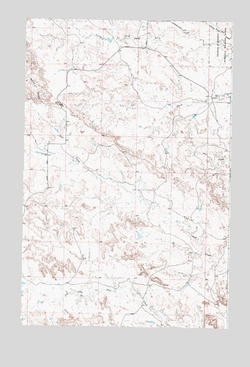
Ash Creek West, MT USGS Topographic Map
Click on map above to begin viewing in our Map Viewer.

This topographic map contains these locations and features:
Feature Name Type Latitude Longitude GNIS ID View Map
22N41E04B___01 WellWellN47.6925°W106.4750°824557View Map
22N41E04CCAA01 WellWellN47.6917°W106.4698°824555View Map
22N41E10B___01 WellWellN47.6836°W106.4537°824513View Map
22N41E10D___01 WellWellN47.6795°W106.4423°824475View Map
22N42E05DB__01 WellWellN47.6917°W106.4423°824554View Map
23N41E23B___01 WellWellN47.7406°W106.4345°824766View Map
23N41E25D___01 WellWellN47.7220°W106.4003°824685View Map
23N41E36A___01 WellWellN47.7114°W106.4011°824648View Map
Cat Creek School (historical)SchoolN47.6950°W106.4862°769672View Map
Coal Bank HillSummitN47.7153°W106.4781°802078View Map
Dirty Wash Reservoir DamDamN47.6617°W106.4289°797236View Map
Dry DamDamN47.6733°W106.3923°797237View Map
Pink Sketter Number 1 DamDamN47.7417°W106.4473°797755View Map
Pink Sketter Number 2 DamDamN47.7117°W106.3956°797751View Map
Spring-Miller DamDamN47.7000°W106.4173°795711View Map

Note: Coordinates in the location and feature list above are referenced to NAD83 datum.


Copyright (C) 2008-2025 Ryan Niemi / Sunset Dynamics ... All Rights Reserved