TopoQuest Logo
Do you find TopoQuest useful?
Help keep TopoQuest running and adding new maps/features by donating!
Bitcoin:  19c7KJd3qBynnjoSw5npx9KScwjBe4ifkT
Litecoin:  LXs6TkuXGGXo1vDsWCkWVdjQX94eUKd6ui
Home View Maps Find Maps Find Places Resources & Links


Headlight, Georgia Topographic Map

USGS Map Title: Headlight, GA
USGS Map MRC: 30082G6
DRG (GeoTIFF) Download: o30082g6.tif


Neighboring USGS Topographic Map Quads:


  Midway, GA  
30082H6
 

  Spooner, GA  
30082H5


  Headlight, GA  
30082G6
 

  Colon, GA  
30082G5


  Needmore, GA  
30082F6
 

  Fargo, GA  
30082F5


Map MRC Location:

N31°
W83°
N31°
W82°
H8 H7 H6 H5 H4 H3 H2 H1
G8 G7 G6 G5 G4 G3 G2 G1
F8 F7 F6 F5 F4 F3 F2 F1
E8 E7 E6 E5 E4 E3 E2 E1
D8 D7 D6 D5 D4 D3 D2 D1
C8 C7 C6 C5 C4 C3 C2 C1
B8 B7 B6 B5 B4 B3 B2 B1
A8 A7 A6 A5 A4 A3 A2 A1
N30°
W83°
N30°
W82°

Headlight, GA USGS 1:24K Topographic Map Preview:
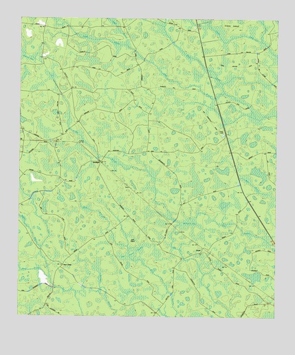
Headlight, GA USGS Topographic Map
Click on map above to begin viewing in our Map Viewer.

This topographic map contains these locations and features:
Feature Name Type Latitude Longitude GNIS ID View Map
Bear BranchStreamN30.7669°W82.7354°310917View Map
Camp BranchStreamN30.8441°W82.6524°312198View Map
Cart IslandIslandN30.7808°W82.6940°312362View Map
Cart Island SwampSwampN30.7759°W82.6929°312363View Map
Crews IslandIslandN30.8733°W82.6457°313116View Map
ErnestPopulated PlaceN30.7791°W82.6601°331668View Map
Fargo DivisionCivilN30.8263°W82.6636°1936263View Map
HeadlightLocaleN30.8155°W82.7110°315271View Map
Hilliard CemeteryCemeteryN30.8585°W82.7382°351302View Map
McGarrity BaySwampN30.7891°W82.6674°317910View Map
Sugar BranchStreamN30.8660°W82.6985°323715View Map
Walters BayStreamN30.7799°W82.7404°324816View Map

Note: Coordinates in the location and feature list above are referenced to NAD83 datum.


Copyright (C) 2008-2025 Ryan Niemi / Sunset Dynamics ... All Rights Reserved