TopoQuest Logo
Do you find TopoQuest useful?
Help keep TopoQuest running and adding new maps/features by donating!
Bitcoin:  19c7KJd3qBynnjoSw5npx9KScwjBe4ifkT
Litecoin:  LXs6TkuXGGXo1vDsWCkWVdjQX94eUKd6ui
Home View Maps Find Maps Find Places Resources & Links


Ayer Spring NE, Montana Topographic Map

USGS Map Title: Ayer Spring NE, MT
USGS Map MRC: 46104F5
DRG (GeoTIFF) Download: o46104f5.tif


Neighboring USGS Topographic Map Quads:


  Graveyard Hill SW, MT  
46104G6
 

  Graveyard Hill, MT  
46104G5
 

  Hodges SW, MT  
46104G4
 

  Dorothy Draw, MT  
46104F6
 

  Ayer Spring NE, MT  
46104F5
 

  Rocking Chair Butte, MT  
46104F4
 

  Ayer Spring, MT  
46104E6
 

  Lawrence Creek West, MT  
46104E5
 

  Lawrence Creek East, MT  
46104E4


Map MRC Location:

N47°
W105°
N47°
W104°
H8 H7 H6 H5 H4 H3 H2 H1
G8 G7 G6 G5 G4 G3 G2 G1
F8 F7 F6 F5 F4 F3 F2 F1
E8 E7 E6 E5 E4 E3 E2 E1
D8 D7 D6 D5 D4 D3 D2 D1
C8 C7 C6 C5 C4 C3 C2 C1
B8 B7 B6 B5 B4 B3 B2 B1
A8 A7 A6 A5 A4 A3 A2 A1
N46°
W105°
N46°
W104°

Ayer Spring NE, MT USGS 1:24K Topographic Map Preview:
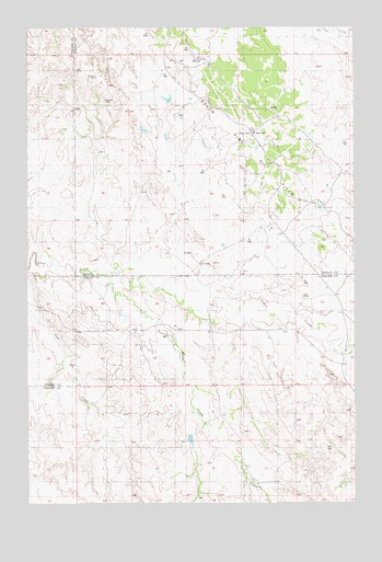
Ayer Spring NE, MT USGS Topographic Map
Click on map above to begin viewing in our Map Viewer.

This topographic map contains these locations and features:
Feature Name Type Latitude Longitude GNIS ID View Map
10N57E02CBCB01 WellWellN46.6470°W104.5230°817446View Map
10N57E03BA__01 WellWellN46.6542°W104.5366°817507View Map
10N57E10CC__01 WellWellN46.6289°W104.5419°817252View Map
10N57E16BA__01 WellWellN46.6253°W104.5575°817221View Map
11N57E06CC__01 WellWellN46.7300°W104.6036°818002View Map
11N57E06DD__01 WellWellN46.7300°W104.5877°818001View Map
11N57E07AB__01 WellWellN46.7264°W104.5930°817982View Map
11N57E07CA__01 WellWellN46.7192°W104.5983°817945View Map
11N57E08AA__01 WellWellN46.7264°W104.5669°817981View Map
11N57E09AC__01 WellWellN46.7228°W104.5511°817963View Map
11N57E17AB__01 WellWellN46.7122°W104.5722°817908View Map
11N57E17AB__02 WellWellN46.7122°W104.5722°817909View Map
11N57E17BC__01 WellWellN46.7086°W104.5827°817896View Map
11N57E21CB__01 WellWellN46.6908°W104.5616°817803View Map
11N57E21CB__02 WellWellN46.6908°W104.5616°817804View Map
11N57E21CDBB01 WellWellN46.6908°W104.5616°817805View Map
11N57E23BA__10 WellWellN46.7000°W104.5199°817843View Map
11N57E27CD__01 WellWellN46.6731°W104.5355°817693View Map
11N57E28CC__01 WellWellN46.6731°W104.5616°817694View Map
11N57E29DC__01 WellWellN46.6731°W104.5722°817695View Map
11N57E32BBBD01 WellWellN46.6695°W104.5827°817648View Map
11N57E32DC__01 WellWellN46.6589°W104.5722°817531View Map
Cow CreekStreamN46.6872°W104.6213°799196View Map
Horse CreekStreamN46.6853°W104.5966°799197View Map
South Pine Oil FieldOilfieldN46.7414°W104.5616°799195View Map

Note: Coordinates in the location and feature list above are referenced to NAD83 datum.


Copyright (C) 2008-2025 Ryan Niemi / Sunset Dynamics ... All Rights Reserved