TopoQuest Logo
Do you find TopoQuest useful?
Help keep TopoQuest running and adding new maps/features by donating!
Bitcoin:  19c7KJd3qBynnjoSw5npx9KScwjBe4ifkT
Litecoin:  LXs6TkuXGGXo1vDsWCkWVdjQX94eUKd6ui
Home View Maps Find Maps Find Places Resources & Links


Hingham, Montana Topographic Map

USGS Map Title: Hingham, MT
USGS Map MRC: 48110E4
DRG (GeoTIFF) Download: o48110e4.tif


Neighboring USGS Topographic Map Quads:


  Rudyard NE, MT  
48110F5
 

  Gildford NW, MT  
48110F4
 

  Gildford NE, MT  
48110F3
 

  Rudyard, MT  
48110E5
 

  Hingham, MT  
48110E4
 

  Gildford, MT  
48110E3
 

  Een School, MT  
48110D5
 

  Fourteenmile Coulee NW, MT  
48110D4
 

  Fourteenmile Coulee NE, MT  
48110D3


Map MRC Location:

N49°
W111°
N49°
W110°
H8 H7 H6 H5 H4 H3 H2 H1
G8 G7 G6 G5 G4 G3 G2 G1
F8 F7 F6 F5 F4 F3 F2 F1
E8 E7 E6 E5 E4 E3 E2 E1
D8 D7 D6 D5 D4 D3 D2 D1
C8 C7 C6 C5 C4 C3 C2 C1
B8 B7 B6 B5 B4 B3 B2 B1
A8 A7 A6 A5 A4 A3 A2 A1
N48°
W111°
N48°
W110°

Hingham, MT USGS 1:24K Topographic Map Preview:
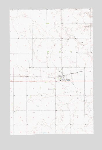
Hingham, MT USGS Topographic Map
Click on map above to begin viewing in our Map Viewer.

This topographic map contains these locations and features:
Feature Name Type Latitude Longitude GNIS ID View Map
Clinton (historical)LocaleN48.5583°W110.4758°1744197View Map
Evangelical Chapel (historical)ChurchN48.5547°W110.4255°1744207View Map
General Mills Incorporated ElevatorLocaleN48.5550°W110.4222°1744233View Map
Hi-Way Quick Stop CampgroundLocaleN48.5550°W110.4222°1744143View Map
HinghamPopulated PlaceN48.5550°W110.4222°772428View Map
HinghamLocaleN48.5583°W110.4247°1744185View Map
Hingham Farmers Elevator (historical)LocaleN48.5550°W110.4222°1744208View Map
Hingham Lutheran ChurchChurchN48.5550°W110.4222°1744056View Map
Hingham Post OfficePost OfficeN48.5548°W110.4252°1744092View Map
Hingham Sanitarium (historical)HospitalN48.5542°W110.4216°1744041View Map
Hingham School (historical)SchoolN48.5536°W110.4247°1744186View Map
Hingham Volunteer Fire DepartmentBuildingN48.5564°W110.4248°1744210View Map
Our Lady of Ransom Catholic ChurchChurchN48.5550°W110.4222°1744057View Map
Town of HinghamCivilN48.5554°W110.4213°2412755View Map
United Methodist Community ChurchChurchN48.5550°W110.4222°1744058View Map

Note: Coordinates in the location and feature list above are referenced to NAD83 datum.


Copyright (C) 2008-2025 Ryan Niemi / Sunset Dynamics ... All Rights Reserved