TopoQuest Logo
Do you find TopoQuest useful?
Help keep TopoQuest running and adding new maps/features by donating!
Bitcoin:  19c7KJd3qBynnjoSw5npx9KScwjBe4ifkT
Litecoin:  LXs6TkuXGGXo1vDsWCkWVdjQX94eUKd6ui
Home View Maps Find Maps Find Places Resources & Links


Ihmsen Well, Montana Topographic Map

USGS Map Title: Ihmsen Well, MT
USGS Map MRC: 48110B2
DRG (GeoTIFF) Download: o48110b2.tif


Neighboring USGS Topographic Map Quads:


  Fourteenmile Coulee SE, MT  
48110C3
 

  Lonesome Lake, MT  
48110C2
 

  Box Elder, MT  
48110C1
 

  Kenilworth NE, MT  
48110B3
 

  Ihmsen Well, MT  
48110B2
 

  Big Sandy, MT  
48110B1
 

  Boggs Island, MT  
48110A3
 

  Verona, MT  
48110A2
 

  Lonetree Coulee, MT  
48110A1


Map MRC Location:

N49°
W111°
N49°
W110°
H8 H7 H6 H5 H4 H3 H2 H1
G8 G7 G6 G5 G4 G3 G2 G1
F8 F7 F6 F5 F4 F3 F2 F1
E8 E7 E6 E5 E4 E3 E2 E1
D8 D7 D6 D5 D4 D3 D2 D1
C8 C7 C6 C5 C4 C3 C2 C1
B8 B7 B6 B5 B4 B3 B2 B1
A8 A7 A6 A5 A4 A3 A2 A1
N48°
W111°
N48°
W110°

Ihmsen Well, MT USGS 1:24K Topographic Map Preview:
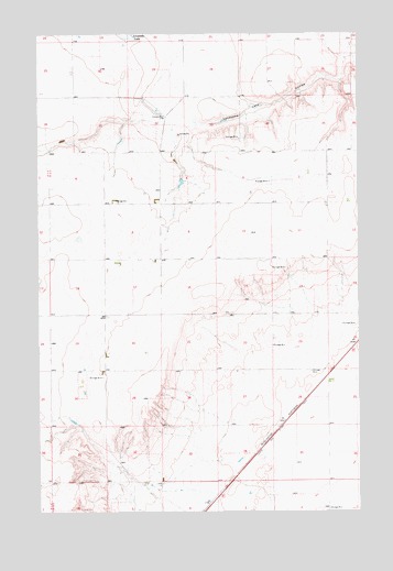
Ihmsen Well, MT USGS Topographic Map
Click on map above to begin viewing in our Map Viewer.

This topographic map contains these locations and features:
Feature Name Type Latitude Longitude GNIS ID View Map
28N12E02AC__01 WellWellN48.2125°W110.1455°1634154View Map
28N12E02DB__01 WellWellN48.2091°W110.1455°1634125View Map
28N12E03DA__01 WellWellN48.2091°W110.1616°1634126View Map
28N12E08DD__01 WellWellN48.1914°W110.2052°1633986View Map
28N12E11AA__01 WellWellN48.2019°W110.1399°1634067View Map
28N12E13BD__01 WellWellN48.1841°W110.1291°1633922View Map
28N12E16AA__01 WellWellN48.1878°W110.1835°1633960View Map
28N12E24CA__01 WellWellN48.1664°W110.1291°1633781View Map
28N12E33CCCC01 WellWellN48.1336°W110.2022°826558View Map
29N12E26AD__01 WellWellN48.2408°W110.1294°1634362View Map
29N12E32BD__01 WellWellN48.2261°W110.2052°1634253View Map
29N12E32DB__01 WellWellN48.2225°W110.1997°1634232View Map
29N12E34DD__01 WellWellN48.2189°W110.1510°1634208View Map
29N12E35DC__01 WellWellN48.2189°W110.1347°1634206View Map
29N12E35DC__02 WellWellN48.2189°W110.1347°1634207View Map
Cornett Fish DamDamN48.2116°W110.1941°796390View Map
Ihmsen WellWellN48.2283°W110.2008°772668View Map

Note: Coordinates in the location and feature list above are referenced to NAD83 datum.


Copyright (C) 2008-2025 Ryan Niemi / Sunset Dynamics ... All Rights Reserved