TopoQuest Logo
Do you find TopoQuest useful?
Help keep TopoQuest running and adding new maps/features by donating!
Bitcoin:  19c7KJd3qBynnjoSw5npx9KScwjBe4ifkT
Litecoin:  LXs6TkuXGGXo1vDsWCkWVdjQX94eUKd6ui
Home View Maps Find Maps Find Places Resources & Links


Lick Creek, Montana Topographic Map

USGS Map Title: Lick Creek, MT
USGS Map MRC: 45113H6
DRG (GeoTIFF) Download: o45113h6.tif


Neighboring USGS Topographic Map Quads:


  Kent Peak, MT  
46113A7
 

  Whetstone Ridge, MT  
46113A6
 

  Moose Lake, MT  
46113A5
 

  Jennings Camp Creek, MT  
45113H7
 

  Lick Creek, MT  
45113H6
 

  Kelly Lake, MT  
45113H5
 

  Schultz Saddle, MT  
45113G7
 

  Bender Point, MT  
45113G6
 

  Mussigbrod Lake, MT  
45113G5


Map MRC Location:

N46°
W114°
N46°
W113°
H8 H7 H6 H5 H4 H3 H2 H1
G8 G7 G6 G5 G4 G3 G2 G1
F8 F7 F6 F5 F4 F3 F2 F1
E8 E7 E6 E5 E4 E3 E2 E1
D8 D7 D6 D5 D4 D3 D2 D1
C8 C7 C6 C5 C4 C3 C2 C1
B8 B7 B6 B5 B4 B3 B2 B1
A8 A7 A6 A5 A4 A3 A2 A1
N45°
W114°
N45°
W113°

Lick Creek, MT USGS 1:24K Topographic Map Preview:
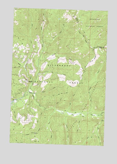
Lick Creek, MT USGS Topographic Map
Click on map above to begin viewing in our Map Viewer.

This topographic map contains these locations and features:
Feature Name Type Latitude Longitude GNIS ID View Map
Billie Springer Memorial ParkParkN45.9180°W113.7287°1803034View Map
Buck CreekStreamN45.9030°W113.6315°780507View Map
Bush CreekStreamN45.9444°W113.7337°780668View Map
Carmine CreekStreamN45.9033°W113.6737°780951View Map
Clifford CreekStreamN45.9049°W113.6448°781397View Map
Cub CreekStreamN45.9055°W113.6759°781974View Map
East Fork Forest Service StationLocaleN45.9230°W113.7273°782847View Map
East Fork TrailheadLocaleN45.9074°W113.7040°794476View Map
East Fork TrailheadLocaleN45.9085°W113.7042°794922View Map
Echo GulchValleyN45.9066°W113.7476°782967View Map
Fish Lake TrailheadLocaleN45.9566°W113.7345°794475View Map
Hole in the WallBasinN45.9655°W113.6401°772462View Map
Hope CreekStreamN45.8869°W113.6351°785000View Map
Kurtz CreekStreamN45.8985°W113.6295°785861View Map
Kurtz FlatsFlatN45.9038°W113.6320°785862View Map
Lick CreekStreamN45.9383°W113.7176°786097View Map
Lick Creek SaddleGapN45.9352°W113.6565°794478View Map
Lick Creek SaddleLocaleN45.9352°W113.6573°794921View Map
Martin CreekStreamN45.9224°W113.7315°786882View Map
Martin Creek CampgroundLocaleN45.9316°W113.7229°786885View Map
McCart TrailheadLocaleN45.8841°W113.7181°794477View Map
McCart TrailheadLocaleN45.8902°W113.7176°794917View Map
Moose CreekStreamN45.9466°W113.7181°787634View Map
Moss CreekStreamN45.9080°W113.6920°787731View Map
Needle CreekStreamN45.9205°W113.7217°787924View Map
Orphan CreekStreamN45.9071°W113.6934°788495View Map
Paint CreekStreamN45.9460°W113.7367°788586View Map
Reynolds CreekStreamN45.9469°W113.7181°789544View Map
Sign CreekStreamN45.9702°W113.7117°790482View Map
Sign Creek TrailheadLocaleN45.9702°W113.7109°794920View Map
Sign Signal TrailheadLocaleN45.9705°W113.7112°794474View Map
Sula Rural Fire District Station 2BuildingN45.9101°W113.7327°2546725View Map
Sun CreekStreamN45.9033°W113.6628°791675View Map
Vapor CreekStreamN45.9077°W113.7073°778006View Map

Note: Coordinates in the location and feature list above are referenced to NAD83 datum.


Copyright (C) 2008-2024 Ryan Niemi / Sunset Dynamics ... All Rights Reserved