TopoQuest Logo
Do you find TopoQuest useful?
Help keep TopoQuest running and adding new maps/features by donating!
Bitcoin:  19c7KJd3qBynnjoSw5npx9KScwjBe4ifkT
Litecoin:  LXs6TkuXGGXo1vDsWCkWVdjQX94eUKd6ui
Home View Maps Find Maps Find Places Resources & Links


Bassett, Nebraska Topographic Map

USGS Map Title: Bassett, NE
USGS Map MRC: 42099E5
DRG (GeoTIFF) Download: o42099e5.tif


Neighboring USGS Topographic Map Quads:


  Bassett NW, NE  
42099F6
 

  Riverview, NE  
42099F5
 

  Carns, NE  
42099F4
 

  Long Pine, NE  
42099E6
 

  Bassett, NE  
42099E5
 

  Newport SW, NE  
42099E4
 

  Hagan Lake NW, NE  
42099D6
 

  Hagan Lake NE, NE  
42099D5
 

  Linke Lake, NE  
42099D4


Map MRC Location:

N43°
W100°
N43°
W99°
H8 H7 H6 H5 H4 H3 H2 H1
G8 G7 G6 G5 G4 G3 G2 G1
F8 F7 F6 F5 F4 F3 F2 F1
E8 E7 E6 E5 E4 E3 E2 E1
D8 D7 D6 D5 D4 D3 D2 D1
C8 C7 C6 C5 C4 C3 C2 C1
B8 B7 B6 B5 B4 B3 B2 B1
A8 A7 A6 A5 A4 A3 A2 A1
N42°
W100°
N42°
W99°

Bassett, NE USGS 1:24K Topographic Map Preview:
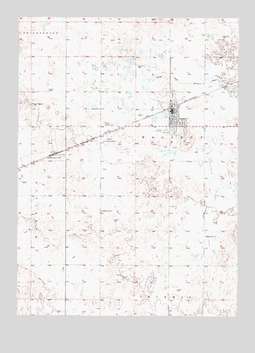
Bassett, NE USGS Topographic Map
Click on map above to begin viewing in our Map Viewer.

This topographic map contains these locations and features:
Feature Name Type Latitude Longitude GNIS ID View Map
BassettPopulated PlaceN42.5858°W99.5379°827208View Map
BassettLocaleN42.5875°W99.5387°1845024View Map
Bassett Assembly of God ChurchChurchN42.5858°W99.5348°1845036View Map
Bassett Country ClubLocaleN42.5667°W99.5782°1845028View Map
Bassett Dental ClinicHospitalN42.5761°W99.5376°1845042View Map
Bassett Election PrecinctCivilN42.5869°W99.5393°1928708View Map
Bassett Grade SchoolSchoolN42.5836°W99.5359°1845033View Map
Bassett Memorial ParkCemeteryN42.5806°W99.5773°827209View Map
Bassett Police DepartmentBuildingN42.5826°W99.5361°2739894View Map
Bassett Post OfficePost OfficeN42.5854°W99.5381°1845025View Map
Bassett Tourist ParkLocaleN42.5858°W99.5379°1845026View Map
Bassett Volunteer Fire DepartmentBuildingN42.5871°W99.5359°1845027View Map
City of BassettCivilN42.5825°W99.5366°2394076View Map
Emmanuel Southern Baptist ChurchChurchN42.5811°W99.5321°1845034View Map
Frauen RanchLocaleN42.5883°W99.6187°829395View Map
Holy Cross Catholic ChurchChurchN42.5858°W99.5379°1845038View Map
Rock County AirportAirportN42.5748°W99.5728°837486View Map
Rock County Ambulance ServiceBuildingN42.5870°W99.5359°2553690View Map
Rock County ClinicHospitalN42.5761°W99.5376°1845040View Map
Rock County Court HouseBuildingN42.5825°W99.5362°1845030View Map
Rock County FairgroundsLocaleN42.5775°W99.5421°1845014View Map
Rock County High SchoolSchoolN42.5792°W99.5307°1845032View Map
Rock County HospitalHospitalN42.5753°W99.5373°1845041View Map
Rock County Long Term CareHospitalN42.5761°W99.5376°1845039View Map
Rock County Public LibraryBuildingN42.5825°W99.5362°1845031View Map
Rock County Sheriff's OfficeBuildingN42.5826°W99.5361°1845029View Map
Saint Peters Lutheran ChurchChurchN42.5811°W99.5334°1845035View Map
School Number 15SchoolN42.5336°W99.5190°836269View Map
School Number 17SchoolN42.5442°W99.5779°836309View Map
Township of BassettCivilN42.5644°W99.5379°1845056View Map
United Methodist ChurchChurchN42.5858°W99.5379°1845037View Map
Valley Grove ChurchChurchN42.5661°W99.6082°834330View Map

Note: Coordinates in the location and feature list above are referenced to NAD83 datum.


Copyright (C) 2008-2024 Ryan Niemi / Sunset Dynamics ... All Rights Reserved