TopoQuest Logo
Do you find TopoQuest useful?
Help keep TopoQuest running and adding new maps/features by donating!
Bitcoin:  19c7KJd3qBynnjoSw5npx9KScwjBe4ifkT
Litecoin:  LXs6TkuXGGXo1vDsWCkWVdjQX94eUKd6ui
Home View Maps Find Maps Find Places Resources & Links


Little Clayhole Valley, Arizona Topographic Map

USGS Map Title: Little Clayhole Valley, AZ
USGS Map MRC: 36113F1
DRG (GeoTIFF) Download: o36113f1.tif


Neighboring USGS Topographic Map Quads:


  White Pockets, AZ  
36113G2
 

  Formaster Well, AZ  
36113G1
 

  Maroney Well, AZ  
36112G8
 

  Antelope Knoll, AZ  
36113F2
 

  Little Clayhole Valley, AZ  
36113F1
 

  Wild Band Pockets, AZ  
36112F8
 

  Moriah Knoll, AZ  
36113E2
 

  Hat Knoll, AZ  
36113E1
 

  Heaton Knolls, AZ  
36112E8


Map MRC Location:

N37°
W114°
N37°
W113°
H8 H7 H6 H5 H4 H3 H2 H1
G8 G7 G6 G5 G4 G3 G2 G1
F8 F7 F6 F5 F4 F3 F2 F1
E8 E7 E6 E5 E4 E3 E2 E1
D8 D7 D6 D5 D4 D3 D2 D1
C8 C7 C6 C5 C4 C3 C2 C1
B8 B7 B6 B5 B4 B3 B2 B1
A8 A7 A6 A5 A4 A3 A2 A1
N36°
W114°
N36°
W113°

Little Clayhole Valley, AZ USGS 1:24K Topographic Map Preview:
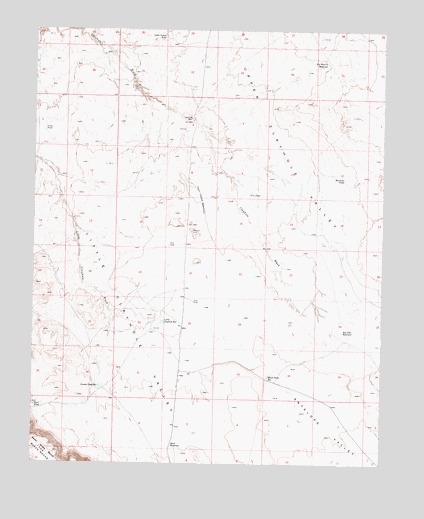
Little Clayhole Valley, AZ USGS Topographic Map
Click on map above to begin viewing in our Map Viewer.

This topographic map contains these locations and features:
Feature Name Type Latitude Longitude GNIS ID View Map
Antelope ValleyValleyN36.6578°W113.0491°708View Map
Big Dike ReservoirReservoirN36.6633°W113.0151°1309View Map
Big Warren ReservoirReservoirN36.7404°W113.0210°1394View Map
Black Point ReservoirReservoirN36.6499°W113.0415°1579View Map
Cattle Guard PondLakeN36.7479°W113.0793°2578View Map
Cement Dam ReservoirReservoirN36.6471°W113.1016°2669View Map
Clayhole WellWellN36.7244°W113.0694°2997View Map
Earl PondLakeN36.6412°W113.1246°4262View Map
Lang PondLakeN36.7211°W113.1223°6867View Map
Little Clayhole ReservoirReservoirN36.6659°W113.0793°7092View Map
Little Clayhole ValleyValleyN36.7055°W113.1161°7093View Map
RCA PondLakeN36.7027°W113.0447°9889View Map
Resource PondLakeN36.7071°W113.0147°10230View Map
Road ReservoirReservoirN36.6304°W113.0756°10342View Map
The Black RocksSummitN36.6267°W113.1227°12291View Map
Upper Clayhole ReservoirsReservoirN36.7010°W113.0663°13074View Map
Upper Clayhole ValleyValleyN36.6500°W113.0008°13075View Map

Note: Coordinates in the location and feature list above are referenced to NAD83 datum.


Copyright (C) 2008-2025 Ryan Niemi / Sunset Dynamics ... All Rights Reserved