TopoQuest Logo
Do you find TopoQuest useful?
Help keep TopoQuest running and adding new maps/features by donating!
Bitcoin:  19c7KJd3qBynnjoSw5npx9KScwjBe4ifkT
Litecoin:  LXs6TkuXGGXo1vDsWCkWVdjQX94eUKd6ui
Home View Maps Find Maps Find Places Resources & Links


Marten Lake, Michigan Topographic Map

USGS Map Title: Marten Lake, MI
USGS Map MRC: 46088D6
DRG (GeoTIFF) Download: o46088d6.tif


Neighboring USGS Topographic Map Quads:


  Sidnaw, MI  
46088E6
 

  Covington, MI  
46088E5


  Marten Lake, MI  
46088D6
 

  Tunis, MI  
46088D5


  Perch Lake, MI  
46088C6
 

  Porter Lake, MI  
46088C5


Map MRC Location:

N47°
W89°
N47°
W88°
H8 H7 H6 H5 H4 H3 H2 H1
G8 G7 G6 G5 G4 G3 G2 G1
F8 F7 F6 F5 F4 F3 F2 F1
E8 E7 E6 E5 E4 E3 E2 E1
D8 D7 D6 D5 D4 D3 D2 D1
C8 C7 C6 C5 C4 C3 C2 C1
B8 B7 B6 B5 B4 B3 B2 B1
A8 A7 A6 A5 A4 A3 A2 A1
N46°
W89°
N46°
W88°

Marten Lake, MI USGS 1:24K Topographic Map Preview:
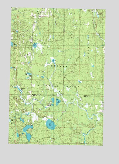
Marten Lake, MI USGS Topographic Map
Click on map above to begin viewing in our Map Viewer.

This topographic map contains these locations and features:
Feature Name Type Latitude Longitude GNIS ID View Map
Bog LakeLakeN46.4514°W88.6927°1619273View Map
Bowstead LakeLakeN46.4447°W88.7485°1619298View Map
Coontail LakeLakeN46.4945°W88.6356°1619575View Map
Dog LakeLakeN46.3831°W88.7381°1619729View Map
Hager LakeLakeN46.4657°W88.7181°1620104View Map
Jingle LakeLakeN46.3971°W88.7327°1620366View Map
Kunze LakeLakeN46.4396°W88.7247°1620460View Map
Lake Sainte KathrynLakeN46.3885°W88.7282°1621496View Map
Lake Sainte Kathryn CampgroundLocaleN46.3930°W88.7226°1622359View Map
Little Nesbit LakeLakeN46.4115°W88.6929°1620573View Map
Marten CreekStreamN46.4127°W88.6737°1620721View Map
Marten LakeLakeN46.3933°W88.6949°1620722View Map
McLellan LakeLakeN46.4779°W88.7421°1620774View Map
Nesbit LakeLakeN46.4159°W88.6924°1622568View Map
Nesbit Lake Organization CampLocaleN46.4172°W88.6954°1622565View Map
Norway LakeLakeN46.4144°W88.6859°1622567View Map
Norway Lake Campground and Picnic AreaLocaleN46.4183°W88.6857°1622566View Map
Peck LakeLakeN46.4368°W88.7071°1621185View Map
Preston CreekStreamN46.4122°W88.7221°1621315View Map
Roadside SpringSpringN46.4377°W88.7207°1621404View Map
Sidnaw Lookout TowerTowerN46.4841°W88.7012°1623628View Map
Toby LakeLakeN46.4499°W88.7252°1621917View Map
Upper Dam LakeReservoirN46.4253°W88.7383°1621998View Map

Note: Coordinates in the location and feature list above are referenced to NAD83 datum.


Copyright (C) 2008-2024 Ryan Niemi / Sunset Dynamics ... All Rights Reserved