TopoQuest Logo
Do you find TopoQuest useful?
Help keep TopoQuest running and adding new maps/features by donating!
Bitcoin:  19c7KJd3qBynnjoSw5npx9KScwjBe4ifkT
Litecoin:  LXs6TkuXGGXo1vDsWCkWVdjQX94eUKd6ui
Home View Maps Find Maps Find Places Resources & Links


Mills East, New Mexico Topographic Map

USGS Map Title: Mills East, NM
USGS Map MRC: 36104A2
DRG (GeoTIFF) Download: o36104a2.tif


Neighboring USGS Topographic Map Quads:


  Abbott Lake, NM  
36104B3
 

  Spear Hills, NM  
36104B2
 

  Divine Lake, NM  
36104B1
 

  Mills West, NM  
36104A3
 

  Mills East, NM  
36104A2
 

  Kansas Valley, NM  
36104A1
 

  Beaver Canyon, NM  
35104H3
 

  Roy, NM  
35104H2
 

  Kansas Valley Lake, NM  
35104H1


Map MRC Location:

N37°
W105°
N37°
W104°
H8 H7 H6 H5 H4 H3 H2 H1
G8 G7 G6 G5 G4 G3 G2 G1
F8 F7 F6 F5 F4 F3 F2 F1
E8 E7 E6 E5 E4 E3 E2 E1
D8 D7 D6 D5 D4 D3 D2 D1
C8 C7 C6 C5 C4 C3 C2 C1
B8 B7 B6 B5 B4 B3 B2 B1
A8 A7 A6 A5 A4 A3 A2 A1
N36°
W105°
N36°
W104°

Mills East, NM USGS 1:24K Topographic Map Preview:
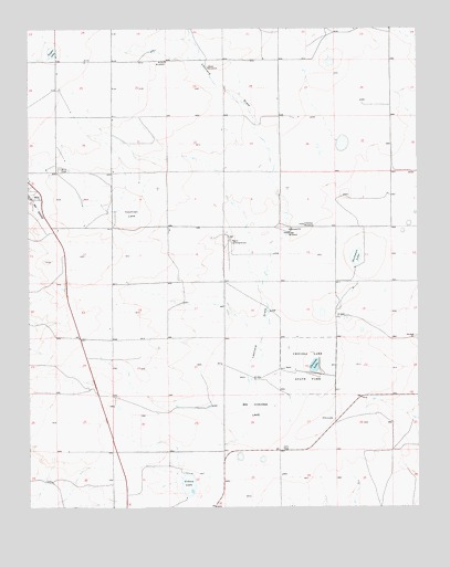
Mills East, NM USGS Topographic Map
Click on map above to begin viewing in our Map Viewer.

This topographic map contains these locations and features:
Feature Name Type Latitude Longitude GNIS ID View Map
Big Chicosa LakeLakeN36.0259°W104.1772°903788View Map
BonomoLocaleN36.0620°W104.2033°924615View Map
Chicosa LakeLakeN36.0370°W104.1589°905088View Map
Chicosa Lake State ParkParkN36.0378°W104.1603°905089View Map
Cochran LakeFlatN36.0767°W104.2172°905231View Map
Cogo WindmillLocaleN36.0717°W104.1666°905241View Map
Dorhman LakeLakeN36.0653°W104.1454°905818View Map
Dry lakeLakeN36.0059°W104.1619°913428View Map
FeltensLocaleN36.1109°W104.2405°928318View Map
FluhmanLocaleN36.1059°W104.2325°928333View Map
Freeman WindmillLocaleN36.0736°W104.1616°906393View Map
Gibson LakeLakeN36.0060°W104.1995°906533View Map
GreenLocaleN36.0550°W104.2214°928312View Map
Harding County Fire District 1 Mills SubstationBuildingN36.0808°W104.2473°2657842View Map
Leonard DrawValleyN36.0150°W104.1750°907938View Map
Meikle WindmillLocaleN36.1164°W104.2053°908565View Map
Mills CemeteryCemeteryN36.0884°W104.2402°908765View Map
New Goodnight Trail Historical MarkerParkN36.0378°W104.1603°932331View Map
Payton LakeLakeN36.1189°W104.2426°909523View Map
Rigoni Landing StripsLocaleN36.0728°W104.1855°924784View Map
Short WindmillLocaleN36.1148°W104.1916°911024View Map

Note: Coordinates in the location and feature list above are referenced to NAD83 datum.


Copyright (C) 2008-2025 Ryan Niemi / Sunset Dynamics ... All Rights Reserved