TopoQuest Logo
Do you find TopoQuest useful?
Help keep TopoQuest running and adding new maps/features by donating!
Bitcoin:  19c7KJd3qBynnjoSw5npx9KScwjBe4ifkT
Litecoin:  LXs6TkuXGGXo1vDsWCkWVdjQX94eUKd6ui
Home View Maps Find Maps Find Places Resources & Links


Moccasin, Montana Topographic Map

USGS Map Title: Moccasin, MT
USGS Map MRC: 47109A8
DRG (GeoTIFF) Download: o47109a8.tif


Neighboring USGS Topographic Map Quads:


  Stanford NE, MT  
47110B1
 

  Big Spring, MT  
47109B8
 

  Harwood Bench, MT  
47109B7
 

  Benchland, MT  
47110A1
 

  Moccasin, MT  
47109A8
 

  Kolin, MT  
47109A7
 

  Utica, MT  
46110H1
 

  Ackley Lake, MT  
46109H8
 

  Sipple, MT  
46109H7


Map MRC Location:

N48°
W110°
N48°
W109°
H8 H7 H6 H5 H4 H3 H2 H1
G8 G7 G6 G5 G4 G3 G2 G1
F8 F7 F6 F5 F4 F3 F2 F1
E8 E7 E6 E5 E4 E3 E2 E1
D8 D7 D6 D5 D4 D3 D2 D1
C8 C7 C6 C5 C4 C3 C2 C1
B8 B7 B6 B5 B4 B3 B2 B1
A8 A7 A6 A5 A4 A3 A2 A1
N47°
W110°
N47°
W109°

Moccasin, MT USGS 1:24K Topographic Map Preview:
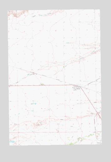
Moccasin, MT USGS Topographic Map
Click on map above to begin viewing in our Map Viewer.

This topographic map contains these locations and features:
Feature Name Type Latitude Longitude GNIS ID View Map
14N14E01BC__01 SpringSpringN47.0055°W109.9005°820098View Map
14N14E01DA__01 WellWellN47.0019°W109.8846°820066View Map
14N14E01DA__02 WellWellN47.0019°W109.8846°820067View Map
14N14E06ADD_01 WellWellN47.0061°W109.9905°820101View Map
14N14E06DB__01 WellWellN47.0019°W109.9952°820068View Map
15N14E12BCC_01 WellWellN47.0772°W109.9027°820594View Map
15N14E16DCDD01 WellWellN47.0561°W109.9524°820455View Map
15N14E23ACA_01 WellWellN47.0514°W109.9094°820416View Map
15N14E34DD__01 WellWellN47.0136°W109.9271°820148View Map
Atlas DamDamN47.0033°W109.9958°798717View Map
General Mills Incorporated ElevatorLocaleN47.0533°W109.9105°1750702View Map
Hobson Post OfficePost OfficeN47.0011°W109.8752°1750615View Map
Hobson Rural Volunteer Fire DistrictBuildingN47.0013°W109.8751°1750715View Map
MoccasinPopulated PlaceN47.0533°W109.9105°774310View Map
MoccasinLocaleN47.0533°W109.9105°1750735View Map
Moccasin CemeteryCemeteryN47.0411°W109.9094°1750722View Map
Moccasin Post OfficePost OfficeN47.0532°W109.9117°1750604View Map
Moccasin School (historical)SchoolN47.0527°W109.9141°1750679View Map
Murray DitchCanalN47.0116°W109.9099°774515View Map

Note: Coordinates in the location and feature list above are referenced to NAD83 datum.


Copyright (C) 2008-2025 Ryan Niemi / Sunset Dynamics ... All Rights Reserved