TopoQuest Logo
Do you find TopoQuest useful?
Help keep TopoQuest running and adding new maps/features by donating!
Bitcoin:  19c7KJd3qBynnjoSw5npx9KScwjBe4ifkT
Litecoin:  LXs6TkuXGGXo1vDsWCkWVdjQX94eUKd6ui
Home View Maps Find Maps Find Places Resources & Links


Beulah, North Dakota Topographic Map

USGS Map Title: Beulah, ND
USGS Map MRC: 47101C7
DRG (GeoTIFF) Download: o47101c7.tif


Neighboring USGS Topographic Map Quads:


  Beulah NW, ND  
47101D8
 

  Beulah NE, ND  
47101D7
 

  Hazen NW, ND  
47101D6
 

  Zap, ND  
47101C8
 

  Beulah, ND  
47101C7
 

  Hazen West, ND  
47101C6
 

  Medicine Butte, ND  
47101B8
 

  Medicine Butte NE, ND  
47101B7
 

  Red Butte NW, ND  
47101B6


Map MRC Location:

N48°
W102°
N48°
W101°
H8 H7 H6 H5 H4 H3 H2 H1
G8 G7 G6 G5 G4 G3 G2 G1
F8 F7 F6 F5 F4 F3 F2 F1
E8 E7 E6 E5 E4 E3 E2 E1
D8 D7 D6 D5 D4 D3 D2 D1
C8 C7 C6 C5 C4 C3 C2 C1
B8 B7 B6 B5 B4 B3 B2 B1
A8 A7 A6 A5 A4 A3 A2 A1
N47°
W102°
N47°
W101°

Beulah, ND USGS 1:24K Topographic Map Preview:
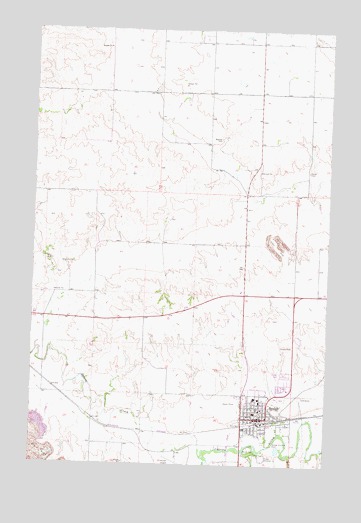
Beulah, ND USGS Topographic Map
Click on map above to begin viewing in our Map Viewer.

This topographic map contains these locations and features:
Feature Name Type Latitude Longitude GNIS ID View Map
BeulahPopulated PlaceN47.2633°W101.7779°1027971View Map
Beulah AirportAirportN47.2520°W101.8128°1032977View Map
Beulah City CemeteryCemeteryN47.2694°W101.7692°2781970View Map
Beulah City HallBuildingN47.2643°W101.7776°2744080View Map
Beulah Elementary SchoolSchoolN47.2710°W101.7804°2747381View Map
Beulah High SchoolSchoolN47.2693°W101.7803°2747383View Map
Beulah Middle SchoolSchoolN47.2800°W101.7795°2747382View Map
Beulah ParkParkN47.2550°W101.7827°1027975View Map
Beulah Police DepartmentBuildingN47.2643°W101.7777°2734391View Map
Beulah Post OfficePost OfficeN47.2633°W101.7772°2741725View Map
Beulah Public LibraryBuildingN47.2642°W101.7775°2745420View Map
Beulah Rural Fire StationBuildingN47.2709°W101.7776°2637669View Map
Boeckel CemeteryCemeteryN47.3436°W101.7966°1028067View Map
City of BeulahCivilN47.2672°W101.7738°1035931View Map
Colt DamDamN47.2550°W101.7738°1033070View Map
Dakota Gasification Company Ambulance ServiceBuildingN47.3577°W101.8413°2658743View Map
KHOL-AM (Beulah)TowerN47.2875°W101.7632°1033430View Map
Knife River Care CenterBuildingN47.2854°W101.7789°2748678View Map
Mercer CountyCivilN47.3092°W101.8315°1034233View Map
Mercer County Ambulance Service BeulahBuildingN47.2709°W101.7776°2658810View Map
Mercer County Historical MuseumBuildingN47.2708°W101.7772°2748887View Map
Pfennig Wildlife MuseumBuildingN47.2766°W101.7835°2748915View Map
Spring CreekStreamN47.2522°W101.8013°1032243View Map
Wally Dresskell LakeReservoirN47.2550°W101.7738°1033354View Map
Williston BasinBasinN47.2503°W101.7507°1260947View Map
Zaron CemeteryCemeteryN47.3347°W101.7591°1031358View Map
Zion Lutheran Church CemeteryCemeteryN47.2688°W101.7690°2782155View Map

Note: Coordinates in the location and feature list above are referenced to NAD83 datum.


Copyright (C) 2008-2025 Ryan Niemi / Sunset Dynamics ... All Rights Reserved