TopoQuest Logo
Do you find TopoQuest useful?
Help keep TopoQuest running and adding new maps/features by donating!
Bitcoin:  19c7KJd3qBynnjoSw5npx9KScwjBe4ifkT
Litecoin:  LXs6TkuXGGXo1vDsWCkWVdjQX94eUKd6ui
Home View Maps Find Maps Find Places Resources & Links


Big Draw, South Dakota Topographic Map

USGS Map Title: Big Draw, SD
USGS Map MRC: 44102G6
DRG (GeoTIFF) Download: o44102g6.tif


Neighboring USGS Topographic Map Quads:


  Frozen Man Creek, SD  
44102H7
 

  Squaw Buttes, SD  
44102H6
 

  Opal West, SD  
44102H5
 

  Bull Run Creek, SD  
44102G7
 

  Big Draw, SD  
44102G6
 

  Opal West SE, SD  
44102G5
 

  Fairpoint, SD  
44102F7
 

  Stoneville, SD  
44102F6
 

  Redowl, SD  
44102F5


Map MRC Location:

N45°
W103°
N45°
W102°
H8 H7 H6 H5 H4 H3 H2 H1
G8 G7 G6 G5 G4 G3 G2 G1
F8 F7 F6 F5 F4 F3 F2 F1
E8 E7 E6 E5 E4 E3 E2 E1
D8 D7 D6 D5 D4 D3 D2 D1
C8 C7 C6 C5 C4 C3 C2 C1
B8 B7 B6 B5 B4 B3 B2 B1
A8 A7 A6 A5 A4 A3 A2 A1
N44°
W103°
N44°
W102°

Big Draw, SD USGS 1:24K Topographic Map Preview:
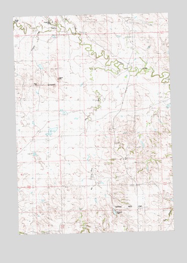
Big Draw, SD USGS Topographic Map
Click on map above to begin viewing in our Map Viewer.

This topographic map contains these locations and features:
Feature Name Type Latitude Longitude GNIS ID View Map
Big DrawValleyN44.8444°W102.6671°1265874View Map
Charles Weiss Dam Number 1DamN44.8333°W102.6988°1259844View Map
Charles Weiss Dam Number 2DamN44.8200°W102.7054°1259845View Map
Charles Weiss Dam Number 3DamN44.8133°W102.7171°1259846View Map
Corsaurt DrawValleyN44.8661°W102.7273°1265920View Map
Flat Top ButteSummitN44.8346°W102.7190°1265996View Map
Frozen Man CreekStreamN44.8689°W102.7135°1266818View Map
Harild Mikuoik DamDamN44.7636°W102.6735°1266955View Map
J Issacs DamDamN44.8517°W102.6304°1259499View Map
Lookout ButteSummitN44.8383°W102.7159°1266130View Map
Paul Young DamDamN44.7933°W102.6921°1259843View Map
Raymond Hanzlik DamDamN44.8483°W102.7288°1259847View Map
Rizer HillSummitN44.8357°W102.7316°1266244View Map
Samuelson Brothers Number 1 DamDamN44.7817°W102.6871°1259468View Map
Samuelson Brothers Number 2 DamDamN44.7833°W102.7138°1259469View Map
Skirt CreekStreamN44.8642°W102.7002°1266299View Map
Stoneville LakeReservoirN44.7617°W102.6731°1266343View Map
Talley DamDamN44.8350°W102.6304°1259416View Map
Whistle CreekStreamN44.8717°W102.7488°1266931View Map

Note: Coordinates in the location and feature list above are referenced to NAD83 datum.


Copyright (C) 2008-2024 Ryan Niemi / Sunset Dynamics ... All Rights Reserved