TopoQuest Logo
Do you find TopoQuest useful?
Help keep TopoQuest running and adding new maps/features by donating!
Bitcoin:  19c7KJd3qBynnjoSw5npx9KScwjBe4ifkT
Litecoin:  LXs6TkuXGGXo1vDsWCkWVdjQX94eUKd6ui
Home View Maps Find Maps Find Places Resources & Links


Rush Lake West, Iowa Topographic Map

USGS Map Title: Rush Lake West, IA
USGS Map MRC: 42094H8
DRG (GeoTIFF) Download: o42094h8.tif


Neighboring USGS Topographic Map Quads:


  Gillett Grove, IA  
43095A1
 

  Silver Lake, IA  
43094A8
 

  Ayrshire, IA  
43094A7
 

  Webb, IA  
42095H1
 

  Rush Lake West, IA  
42094H8
 

  Rush Lake East, IA  
42094H7
 

  Sioux Rapids SE, IA  
42095G1
 

  Albert City, IA  
42094G8
 

  Laurens, IA  
42094G7


Map MRC Location:

N43°
W95°
N43°
W94°
H8 H7 H6 H5 H4 H3 H2 H1
G8 G7 G6 G5 G4 G3 G2 G1
F8 F7 F6 F5 F4 F3 F2 F1
E8 E7 E6 E5 E4 E3 E2 E1
D8 D7 D6 D5 D4 D3 D2 D1
C8 C7 C6 C5 C4 C3 C2 C1
B8 B7 B6 B5 B4 B3 B2 B1
A8 A7 A6 A5 A4 A3 A2 A1
N42°
W95°
N42°
W94°

Rush Lake West, IA USGS 1:24K Topographic Map Preview:
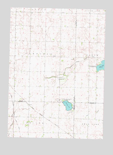
Rush Lake West, IA USGS Topographic Map
Click on map above to begin viewing in our Map Viewer.

This topographic map contains these locations and features:
Feature Name Type Latitude Longitude GNIS ID View Map
Andersen FarmsLocaleN42.9219°W94.9481°2727587View Map
Buena Vista County Waterfowl Production AreaParkN42.9081°W94.9306°2765215View Map
Cab FarmsLocaleN42.9394°W94.9814°2727590View Map
Diamond J FarmsLocaleN42.9178°W94.9936°2727597View Map
Dry Mud Lake Wildlife Management AreaParkN42.9325°W94.9317°459393View Map
Garfield Township CemeteryCemeteryN42.9540°W94.9389°463353View Map
Garlock Post Office (historical)Post OfficeN42.8939°W94.9036°1925317View Map
LeverettPopulated PlaceN42.9066°W94.9736°464616View Map
Leverett (historical)LocaleN42.9066°W94.9736°1925731View Map
Leverett Post Office (historical)Post OfficeN42.9066°W94.9736°1925732View Map
Mud LakeLakeN42.9311°W94.9317°464001View Map
Pickerel LakeLakeN42.9067°W94.9222°460120View Map
Pickerel Lake State Wildlife Management AreaParkN42.9080°W94.9225°460121View Map
Platt Post Office (historical)Post OfficeN42.9797°W94.9822°1944224View Map
Rush Lake Post Office (historical)Post OfficeN42.9605°W94.9064°1925424View Map
Township of GarfieldCivilN42.9527°W94.9738°467891View Map

Note: Coordinates in the location and feature list above are referenced to NAD83 datum.


Copyright (C) 2008-2024 Ryan Niemi / Sunset Dynamics ... All Rights Reserved