TopoQuest Logo
Do you find TopoQuest useful?
Help keep TopoQuest running and adding new maps/features by donating!
Bitcoin:  19c7KJd3qBynnjoSw5npx9KScwjBe4ifkT
Litecoin:  LXs6TkuXGGXo1vDsWCkWVdjQX94eUKd6ui
Home View Maps Find Maps Find Places Resources & Links


Sand Springs, Montana Topographic Map

USGS Map Title: Sand Springs, MT
USGS Map MRC: 47107A4
DRG (GeoTIFF) Download: o47107a4.tif


Neighboring USGS Topographic Map Quads:


  Coffin Butte, MT  
47107B5
 

  Twin Buttes, MT  
47107B4
 

  Edwards, MT  
47107B3
 

  Cox Butte, MT  
47107A5
 

  Sand Springs, MT  
47107A4
 

  Robertson School, MT  
47107A3
 

  McWilliams Springs, MT  
46107H5
 

  McGinnis Butte, MT  
46107H4
 

  Emma Butte, MT  
46107H3


Map MRC Location:

N48°
W108°
N48°
W107°
H8 H7 H6 H5 H4 H3 H2 H1
G8 G7 G6 G5 G4 G3 G2 G1
F8 F7 F6 F5 F4 F3 F2 F1
E8 E7 E6 E5 E4 E3 E2 E1
D8 D7 D6 D5 D4 D3 D2 D1
C8 C7 C6 C5 C4 C3 C2 C1
B8 B7 B6 B5 B4 B3 B2 B1
A8 A7 A6 A5 A4 A3 A2 A1
N47°
W108°
N47°
W107°

Sand Springs, MT USGS 1:24K Topographic Map Preview:
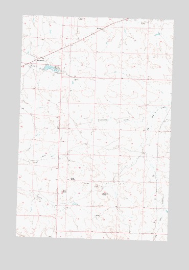
Sand Springs, MT USGS Topographic Map
Click on map above to begin viewing in our Map Viewer.

This topographic map contains these locations and features:
Feature Name Type Latitude Longitude GNIS ID View Map
15N33E13ADDA01 WellWellN47.0625°W107.4676°820508View Map
15N34E16DADA01 WellWellN47.0522°W107.4190°820423View Map
71 Ranch Number 3 DamDamN47.0050°W107.4740°796003View Map
Blue Shoes DamDamN47.0200°W107.4540°797741View Map
Brickhammer CouleeValleyN47.0681°W107.3981°769212View Map
Charagus DamDamN47.0967°W107.4790°795493View Map
Kirts ButteSummitN47.0339°W107.4568°773090View Map
Krieder ReservoirReservoirN47.0957°W107.4766°773138View Map
Manlove ButteSummitN47.0256°W107.4304°773861View Map
Mows ButteSummitN47.0264°W107.4631°774443View Map
Sand SpringsPopulated PlaceN47.1008°W107.4856°776203View Map
Sand Springs Post OfficePost OfficeN47.1001°W107.4894°1715958View Map
Sand Springs SchoolSchoolN47.1008°W107.4875°1715921View Map
Snowbelt Post Office (historical)Post OfficeN47.0469°W107.4604°1715954View Map
Snowbelt Reservoir DamDamN47.0433°W107.3906°798674View Map
Snowbelt School (historical)SchoolN47.0472°W107.4604°1715953View Map

Note: Coordinates in the location and feature list above are referenced to NAD83 datum.


Copyright (C) 2008-2024 Ryan Niemi / Sunset Dynamics ... All Rights Reserved