TopoQuest Logo
Do you find TopoQuest useful?
Help keep TopoQuest running and adding new maps/features by donating!
Bitcoin:  19c7KJd3qBynnjoSw5npx9KScwjBe4ifkT
Litecoin:  LXs6TkuXGGXo1vDsWCkWVdjQX94eUKd6ui
Home View Maps Find Maps Find Places Resources & Links


Black Lake, Louisiana Topographic Map

USGS Map Title: Black Lake, LA
USGS Map MRC: 30093A4
DRG (GeoTIFF) Download: o30093a4.tif


Neighboring USGS Topographic Map Quads:


  Vinton, LA  
30093B5
 

  Sulphur, LA  
30093B4
 

  Westlake, LA  
30093B3
 

  Cameron Farms, LA  
30093A5
 

  Black Lake, LA  
30093A4
 

  Moss Lake, LA  
30093A3


Map MRC Location:

N31°
W94°
N31°
W93°
H8 H7 H6 H5 H4 H3 H2 H1
G8 G7 G6 G5 G4 G3 G2 G1
F8 F7 F6 F5 F4 F3 F2 F1
E8 E7 E6 E5 E4 E3 E2 E1
D8 D7 D6 D5 D4 D3 D2 D1
C8 C7 C6 C5 C4 C3 C2 C1
B8 B7 B6 B5 B4 B3 B2 B1
A8 A7 A6 A5 A4 A3 A2 A1
N30°
W94°
N30°
W93°

Black Lake, LA USGS 1:24K Topographic Map Preview:
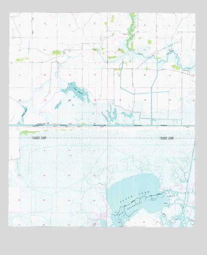
Black Lake, LA USGS Topographic Map
Click on map above to begin viewing in our Map Viewer.

This topographic map contains these locations and features:
Feature Name Type Latitude Longitude GNIS ID View Map
Alkali DitchBayN30.0336°W93.3781°532110View Map
Bayou Choupique Oil and Gas FieldOilfieldN30.1005°W93.4010°553437View Map
Black LakeBayN30.0194°W93.4166°553692View Map
Choupique Gas FieldOilfieldN30.1099°W93.4454°551247View Map
Clear MaraisLakeN30.0663°W93.4601°554024View Map
Gardiner SlipChannelN30.0602°W93.4810°535181View Map
Goose LakeLakeN30.0618°W93.4908°554554View Map
Landry CemeteryCemeteryN30.0916°W93.3802°536323View Map
Moss CemeteryCemeteryN30.1130°W93.4207°537259View Map
West Hackberry HeliportAirportN30.0085°W93.4002°1632734View Map
West Hackberry Oil FieldOilfieldN30.0099°W93.4210°556392View Map

Note: Coordinates in the location and feature list above are referenced to NAD83 datum.


Copyright (C) 2008-2024 Ryan Niemi / Sunset Dynamics ... All Rights Reserved