TopoQuest Logo
Do you find TopoQuest useful?
Help keep TopoQuest running and adding new maps/features by donating!
Bitcoin:  19c7KJd3qBynnjoSw5npx9KScwjBe4ifkT
Litecoin:  LXs6TkuXGGXo1vDsWCkWVdjQX94eUKd6ui
Home View Maps Find Maps Find Places Resources & Links


Thatcher Spring, Nevada Topographic Map

USGS Map Title: Thatcher Spring, NV
USGS Map MRC: 40116C3
DRG (GeoTIFF) Download: o40116c3.tif


Neighboring USGS Topographic Map Quads:


  Tumbleweed Flat, NV  
40116D4
 

  Frenchie Flat, NV  
40116D3
 

  McCormack Spring, NV  
40116D2
 

  Hand-me-down Creek, NV  
40116C4
 

  Thatcher Spring, NV  
40116C3
 

  West of Coffin Mountain, NV  
40116C2
 

  Buckhorn Mine, NV  
40116B4
 

  Curlow Flat, NV  
40116B3
 

  Mineral Hill NW, NV  
40116B2


Map MRC Location:

N41°
W117°
N41°
W116°
H8 H7 H6 H5 H4 H3 H2 H1
G8 G7 G6 G5 G4 G3 G2 G1
F8 F7 F6 F5 F4 F3 F2 F1
E8 E7 E6 E5 E4 E3 E2 E1
D8 D7 D6 D5 D4 D3 D2 D1
C8 C7 C6 C5 C4 C3 C2 C1
B8 B7 B6 B5 B4 B3 B2 B1
A8 A7 A6 A5 A4 A3 A2 A1
N40°
W117°
N40°
W116°

Thatcher Spring, NV USGS 1:24K Topographic Map Preview:
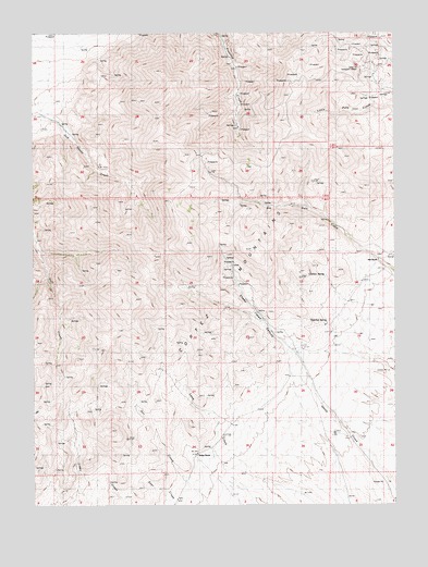
Thatcher Spring, NV USGS Topographic Map
Click on map above to begin viewing in our Map Viewer.

This topographic map contains these locations and features:
Feature Name Type Latitude Longitude GNIS ID View Map
Big Pole SpringSpringN40.2963°W116.3320°846568View Map
Chicken SpringSpringN40.3111°W116.2747°849561View Map
Cortez MountainsRangeN40.3110°W116.3348°847292View Map
Florio Spring Number EightSpringN40.2715°W116.3728°846595View Map
Florio Spring Number FiveSpringN40.2752°W116.3548°846594View Map
Florio Spring Number FourSpringN40.2811°W116.3539°846593View Map
Florio Spring Number SevenSpringN40.2599°W116.3606°846597View Map
Florio Spring Number ThreeSpringN40.2672°W116.3677°846596View Map
Florio Spring Number TwoSpringN40.2826°W116.3528°846639View Map
Hall RanchLocaleN40.3146°W116.2556°847353View Map
Indian RanchLocaleN40.2638°W116.3195°841267View Map
Modarelli MinesMineN40.3663°W116.2626°854532View Map
Modarelli-Frenchie Creek Mining DistrictCivilN40.3630°W116.2801°856610View Map
Old Thomas SpringSpringN40.2808°W116.2795°846598View Map
Old Thomas SpringSpringN40.3733°W116.2867°846599View Map
Sheep Creek CanyonValleyN40.2913°W116.2884°847480View Map
Sod House RanchLocaleN40.3524°W116.3662°846569View Map
Thatcher SpringSpringN40.2983°W116.2744°847509View Map
Thatcher SpringSpringN40.2929°W116.3240°846621View Map

Note: Coordinates in the location and feature list above are referenced to NAD83 datum.


Copyright (C) 2008-2025 Ryan Niemi / Sunset Dynamics ... All Rights Reserved