TopoQuest Logo
Do you find TopoQuest useful?
Help keep TopoQuest running and adding new maps/features by donating!
Bitcoin:  19c7KJd3qBynnjoSw5npx9KScwjBe4ifkT
Litecoin:  LXs6TkuXGGXo1vDsWCkWVdjQX94eUKd6ui
Home View Maps Find Maps Find Places Resources & Links


Wessington Springs SW, South Dakota Topographic Map

USGS Map Title: Wessington Springs SW, SD
USGS Map MRC: 44098A6
DRG (GeoTIFF) Download: o44098a6.tif


Neighboring USGS Topographic Map Quads:


  Cottonwood Lake, SD  
44098B7
 

  Wessington Springs NW, SD  
44098B6
 

  Wessington Springs NE, SD  
44098B5
 

  Gannvalley SE, SD  
44098A7
 

  Wessington Springs SW, SD  
44098A6
 

  Wessington Springs, SD  
44098A5


Map MRC Location:

N45°
W99°
N45°
W98°
H8 H7 H6 H5 H4 H3 H2 H1
G8 G7 G6 G5 G4 G3 G2 G1
F8 F7 F6 F5 F4 F3 F2 F1
E8 E7 E6 E5 E4 E3 E2 E1
D8 D7 D6 D5 D4 D3 D2 D1
C8 C7 C6 C5 C4 C3 C2 C1
B8 B7 B6 B5 B4 B3 B2 B1
A8 A7 A6 A5 A4 A3 A2 A1
N44°
W99°
N44°
W98°

Wessington Springs SW, SD USGS 1:24K Topographic Map Preview:
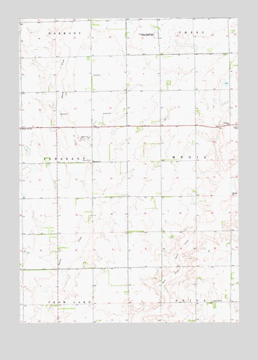
Wessington Springs SW, SD USGS Topographic Map
Click on map above to begin viewing in our Map Viewer.

This topographic map contains these locations and features:
Feature Name Type Latitude Longitude GNIS ID View Map
Bolton School Number 3 (historical)SchoolN44.1242°W98.6720°1263760View Map
Dean School Number 3 (historical)SchoolN44.0367°W98.6709°1263719View Map
Fauston Post Office (historical)Post OfficeN44.0642°W98.7081°1267133View Map
Hainey School Number 4 (historical)SchoolN44.0308°W98.7373°1263745View Map
Happy Hill SchoolSchoolN44.0089°W98.6406°1255425View Map
Hope CemeteryCemeteryN44.1017°W98.7084°1255643View Map
Jerauld CountyCivilN44.0663°W98.6297°1265778View Map
Martin School Number 1 (historical)SchoolN44.0075°W98.6412°1263730View Map
Pleasant View SchoolSchoolN44.0794°W98.7493°1257143View Map
Powell School Number 1 (historical)SchoolN44.0953°W98.7081°1263744View Map
School Number 9 (historical)SchoolN44.0072°W98.7229°1263740View Map
Schubert SchoolSchoolN44.0811°W98.6304°1257991View Map
Stetson (historical)LocaleN44.0361°W98.7273°1263743View Map
Templeton (historical)LocaleN44.0892°W98.6415°1263748View Map
Templeton ChurchChurchN44.0658°W98.7084°1265703View Map
Templeton School Number 4 (historical)SchoolN44.1247°W98.7095°1263758View Map
Township of MediaCivilN44.0625°W98.6337°1268528View Map
Township of PleasantCivilN44.0654°W98.7482°1268529View Map
Unorganized Territory of MediaCivilN44.0664°W98.6312°2393298View Map

Note: Coordinates in the location and feature list above are referenced to NAD83 datum.


Copyright (C) 2008-2025 Ryan Niemi / Sunset Dynamics ... All Rights Reserved