TopoQuest Logo
Do you find TopoQuest useful?
Help keep TopoQuest running and adding new maps/features by donating!
Bitcoin:  19c7KJd3qBynnjoSw5npx9KScwjBe4ifkT
Litecoin:  LXs6TkuXGGXo1vDsWCkWVdjQX94eUKd6ui
Home View Maps Find Maps Find Places Resources & Links


Boxholm, Iowa Topographic Map

USGS Map Title: Boxholm, IA
USGS Map MRC: 42094B1
DRG (GeoTIFF) Download: o42094b1.tif


Neighboring USGS Topographic Map Quads:


  Harcourt, IA  
42094C2
 

  Lehigh, IA  
42094C1
 

  Stratford, IA  
42093C8
 

  Lanyon, IA  
42094B2
 

  Boxholm, IA  
42094B1
 

  Fraser, IA  
42093B8
 

  Grand Junction, IA  
42094A2
 

  Ogden, IA  
42094A1
 

  Boone West, IA  
42093A8


Map MRC Location:

N43°
W95°
N43°
W94°
H8 H7 H6 H5 H4 H3 H2 H1
G8 G7 G6 G5 G4 G3 G2 G1
F8 F7 F6 F5 F4 F3 F2 F1
E8 E7 E6 E5 E4 E3 E2 E1
D8 D7 D6 D5 D4 D3 D2 D1
C8 C7 C6 C5 C4 C3 C2 C1
B8 B7 B6 B5 B4 B3 B2 B1
A8 A7 A6 A5 A4 A3 A2 A1
N42°
W95°
N42°
W94°

Boxholm, IA USGS 1:24K Topographic Map Preview:
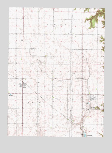
Boxholm, IA USGS Topographic Map
Click on map above to begin viewing in our Map Viewer.

This topographic map contains these locations and features:
Feature Name Type Latitude Longitude GNIS ID View Map
BoxholmPopulated PlaceN42.1758°W94.1061°454780View Map
Boxholm (historical)LocaleN42.1778°W94.1058°1996516View Map
Boxholm Fire DepartmentBuildingN42.1762°W94.1050°1996521View Map
Boxholm Post OfficePost OfficeN42.1758°W94.1050°1996519View Map
Boxholm Town HallBuildingN42.1758°W94.1061°1996520View Map
Casady Post Office (historical)Post OfficeN42.2236°W94.0169°1996601View Map
City of BoxholmCivilN42.1736°W94.1061°2394230View Map
City of Pilot MoundCivilN42.1592°W94.0183°2396206View Map
Don Williams Golf CourseLocaleN42.1291°W94.0225°1996540View Map
Drainage Ditch Number 107CanalN42.1833°W94.0730°1823152View Map
Lawn CemeteryCemeteryN42.1775°W94.0875°458248View Map
Methodist ChurchChurchN42.1644°W94.0166°1996524View Map
Pilot MoundPopulated PlaceN42.1644°W94.0166°460155View Map
Pilot Mound Fire and Rescue DepartmentBuildingN42.1627°W94.0176°2577412View Map
Pilot Mound Post OfficePost OfficeN42.1620°W94.0176°1996523View Map
Pilot Mound State ForestForestN42.1533°W94.0086°1823150View Map
Pilotmound (historical)LocaleN42.1644°W94.0166°1996522View Map
Ritchie SchoolSchoolN42.2244°W94.0033°460645View Map
Southeast Webster - Grand Middle SchoolSchoolN42.1730°W94.1082°1823151View Map
Swedish Lutheran Church CemeteryCemeteryN42.2174°W94.1077°1996863View Map
Township of GrantCivilN42.1664°W94.1062°467930View Map
Township of Pilot MoundCivilN42.1669°W94.0107°468518View Map
Trinity Lutheran ChurchChurchN42.1758°W94.1066°1996517View Map
Union CemeteryCemeteryN42.1369°W94.0855°462429View Map
United Methodist ChurchChurchN42.1744°W94.1041°1996518View Map
WolfPopulated PlaceN42.1355°W94.0275°464809View Map

Note: Coordinates in the location and feature list above are referenced to NAD83 datum.


Copyright (C) 2008-2024 Ryan Niemi / Sunset Dynamics ... All Rights Reserved