TopoQuest Logo
Do you find TopoQuest useful?
Help keep TopoQuest running and adding new maps/features by donating!
Bitcoin:  19c7KJd3qBynnjoSw5npx9KScwjBe4ifkT
Litecoin:  LXs6TkuXGGXo1vDsWCkWVdjQX94eUKd6ui
Home View Maps Find Maps Find Places Resources & Links


Bridgewater West, South Dakota Topographic Map

USGS Map Title: Bridgewater West, SD
USGS Map MRC: 43097E5
DRG (GeoTIFF) Download: o43097e5.tif


Neighboring USGS Topographic Map Quads:


  Farmer, SD  
43097F6
 

  Spencer, SD  
43097F5
 

  Salem, SD  
43097F4
 

  Spencer SW, SD  
43097E6
 

  Bridgewater West, SD  
43097E5
 

  Bridgewater East, SD  
43097E4
 

  Clayton, SD  
43097D6
 

  Clayton NE, SD  
43097D5
 

  Dolton, SD  
43097D4


Map MRC Location:

N44°
W98°
N44°
W97°
H8 H7 H6 H5 H4 H3 H2 H1
G8 G7 G6 G5 G4 G3 G2 G1
F8 F7 F6 F5 F4 F3 F2 F1
E8 E7 E6 E5 E4 E3 E2 E1
D8 D7 D6 D5 D4 D3 D2 D1
C8 C7 C6 C5 C4 C3 C2 C1
B8 B7 B6 B5 B4 B3 B2 B1
A8 A7 A6 A5 A4 A3 A2 A1
N43°
W98°
N43°
W97°

Bridgewater West, SD USGS 1:24K Topographic Map Preview:
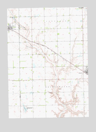
Bridgewater West, SD USGS Topographic Map
Click on map above to begin viewing in our Map Viewer.

This topographic map contains these locations and features:
Feature Name Type Latitude Longitude GNIS ID View Map
BridgewaterPopulated PlaceN43.5516°W97.5076°1254060View Map
Bridgewater CemeteryCemeteryN43.5542°W97.5062°2779221View Map
Bridgewater City (Legion) HallBuildingN43.5503°W97.5019°2724690View Map
Bridgewater Community AmbulanceBuildingN43.5516°W97.5027°2659006View Map
Bridgewater Elementary SchoolSchoolN43.5530°W97.5018°2728449View Map
Bridgewater Fire DepartmentBuildingN43.5515°W97.5027°2580954View Map
Bridgewater Post OfficePost OfficeN43.5505°W97.5025°2709690View Map
Bridgewater-Emery High SchoolSchoolN43.6027°W97.6181°2728450View Map
Bridgewater-Emery Middle SchoolSchoolN43.5530°W97.5018°2728451View Map
City of EmeryCivilN43.6020°W97.6195°1267380View Map
EmeryPopulated PlaceN43.6016°W97.6226°1254933View Map
Emery City OfficeBuildingN43.6011°W97.6201°2724726View Map
Emery City Police DepartmentBuildingN43.6040°W97.6243°2755522View Map
Emery Elementary SchoolSchoolN43.6027°W97.6181°2728452View Map
Emery Post OfficePost OfficeN43.6024°W97.6223°2709846View Map
Emery Volunteer Fire DepartmentBuildingN43.6015°W97.6208°2580749View Map
Rasmussen CemeteryCemeteryN43.5282°W97.5569°1257282View Map
Township of BridgewaterCivilN43.5429°W97.5489°1269129View Map
Tschetter SloughLakeN43.5101°W97.5959°1258638View Map
Tschetter Slough State Public Shooting AreaParkN43.5108°W97.5992°1258639View Map
Waltner & Richards AirportAirportN43.5646°W97.5350°1260214View Map

Note: Coordinates in the location and feature list above are referenced to NAD83 datum.


Copyright (C) 2008-2025 Ryan Niemi / Sunset Dynamics ... All Rights Reserved