TopoQuest Logo
Do you find TopoQuest useful?
Help keep TopoQuest running and adding new maps/features by donating!
Bitcoin:  19c7KJd3qBynnjoSw5npx9KScwjBe4ifkT
Litecoin:  LXs6TkuXGGXo1vDsWCkWVdjQX94eUKd6ui
Home View Maps Find Maps Find Places Resources & Links


Brorson, Montana Topographic Map

USGS Map Title: Brorson, MT
USGS Map MRC: 47104G3
DRG (GeoTIFF) Download: o47104g3.tif


Neighboring USGS Topographic Map Quads:


  Blue Hill, MT  
47104H4
 

  Sioux Pass, MT  
47104H3
 

  Fairview NW, MT  
47104H2
 

  Girard, MT  
47104G4
 

  Brorson, MT  
47104G3
 

  Fairview SW, MT  
47104G2
 

  Crane NW, MT  
47104F4
 

  Crane NE, MT  
47104F3
 

  Sidney, MT  
47104F2


Map MRC Location:

N48°
W105°
N48°
W104°
H8 H7 H6 H5 H4 H3 H2 H1
G8 G7 G6 G5 G4 G3 G2 G1
F8 F7 F6 F5 F4 F3 F2 F1
E8 E7 E6 E5 E4 E3 E2 E1
D8 D7 D6 D5 D4 D3 D2 D1
C8 C7 C6 C5 C4 C3 C2 C1
B8 B7 B6 B5 B4 B3 B2 B1
A8 A7 A6 A5 A4 A3 A2 A1
N47°
W105°
N47°
W104°

Brorson, MT USGS 1:24K Topographic Map Preview:
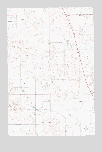
Brorson, MT USGS Topographic Map
Click on map above to begin viewing in our Map Viewer.

This topographic map contains these locations and features:
Feature Name Type Latitude Longitude GNIS ID View Map
23N50E06DBDD01 WellWellN47.7806°W104.3477°824939View Map
23N57E11CADA01 WellWellN47.7667°W104.3691°824884View Map
23N57E14ADAD01 WellWellN47.7561°W104.3580°824835View Map
23N58E08BABB01 WellWellN47.7756°W104.3088°824917View Map
23N58E08BABC01 WellWellN47.7750°W104.3086°824912View Map
23N58E34DCCD01 WellWellN47.7500°W104.2588°824812View Map
24N58E08BABA01 WellWellN47.8628°W104.3080°825120View Map
24N58E15ACCB01 WellWellN47.8428°W104.2599°825088View Map
Albin DamDamN47.7967°W104.3205°795352View Map
Brorson (historical)Populated PlaceN47.7759°W104.2949°1715001View Map
Brorson Church (historical)ChurchN47.7759°W104.2774°769252View Map
Brorson Oil FieldOilfieldN47.7995°W104.3008°769254View Map
Brorson Post Office (historical)Post OfficeN47.7759°W104.2949°1715000View Map
Brorson SchoolSchoolN47.7792°W104.2933°769255View Map
Coon DamDamN47.7834°W104.3505°797714View Map
Four CornersLocaleN47.8675°W104.2908°771550View Map
Main Hay CreekStreamN47.8625°W104.3658°773839View Map
Midway Community CenterLocaleN47.8017°W104.3702°774196View Map

Note: Coordinates in the location and feature list above are referenced to NAD83 datum.


Copyright (C) 2008-2024 Ryan Niemi / Sunset Dynamics ... All Rights Reserved