TopoQuest Logo
Do you find TopoQuest useful?
Help keep TopoQuest running and adding new maps/features by donating!
Bitcoin:  19c7KJd3qBynnjoSw5npx9KScwjBe4ifkT
Litecoin:  LXs6TkuXGGXo1vDsWCkWVdjQX94eUKd6ui
Home View Maps Find Maps Find Places Resources & Links


Buhl, Idaho Topographic Map

USGS Map Title: Buhl, ID
USGS Map MRC: 42114E7
DRG (GeoTIFF) Download: o42114e7.tif


Neighboring USGS Topographic Map Quads:


  Yahoo Creek, ID  
42114F8
 

  Thousand Springs, ID  
42114F7
 

  Niagara Springs, ID  
42114F6
 

  Balanced Rock, ID  
42114E8
 

  Buhl, ID  
42114E7
 

  Clover, ID  
42114E6
 

  Tuanna Butte, ID  
42114D8
 

  Roseworth NE, ID  
42114D7
 

  Berger Butte, ID  
42114D6


Map MRC Location:

N43°
W115°
N43°
W114°
H8 H7 H6 H5 H4 H3 H2 H1
G8 G7 G6 G5 G4 G3 G2 G1
F8 F7 F6 F5 F4 F3 F2 F1
E8 E7 E6 E5 E4 E3 E2 E1
D8 D7 D6 D5 D4 D3 D2 D1
C8 C7 C6 C5 C4 C3 C2 C1
B8 B7 B6 B5 B4 B3 B2 B1
A8 A7 A6 A5 A4 A3 A2 A1
N42°
W115°
N42°
W114°

Buhl, ID USGS 1:24K Topographic Map Preview:
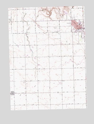
Buhl, ID USGS Topographic Map
Click on map above to begin viewing in our Map Viewer.

This topographic map contains these locations and features:
Feature Name Type Latitude Longitude GNIS ID View Map
Avelar's DairyLocaleN42.5628°W114.7800°2741263View Map
Bokma DairyLocaleN42.5669°W114.8519°2741264View Map
BuhlPopulated PlaceN42.5991°W114.7595°396190View Map
Buhl City HallBuildingN42.6002°W114.7614°395718View Map
Buhl City Police DepartmentBuildingN42.5998°W114.7614°2722446View Map
Buhl DivisionCivilN42.5738°W114.8141°1936684View Map
Buhl Fire Department Station 1BuildingN42.5999°W114.7614°2618957View Map
Buhl High SchoolSchoolN42.6077°W114.7542°401427View Map
Buhl High SchoolSchoolN42.6067°W114.7615°395722View Map
Buhl LibraryBuildingN42.6005°W114.7617°395720View Map
Buhl Middle SchoolSchoolN42.6027°W114.7584°401423View Map
Buhl Middle SchoolSchoolN42.6066°W114.7587°395719View Map
Buhl Municipal AirportAirportN42.5958°W114.7973°400769View Map
Buhl Post OfficePost OfficeN42.6000°W114.7588°2741389View Map
Buhl School (historical)SchoolN42.6021°W114.7612°395836View Map
CastlefordPopulated PlaceN42.5207°W114.8684°371910View Map
Castleford City HallBuildingN42.5207°W114.8720°395727View Map
Castleford Fire DistrictBuildingN42.5195°W114.8688°2619235View Map
Castleford Post OfficePost OfficeN42.5204°W114.8723°2741390View Map
Castleford SchoolSchoolN42.5211°W114.8749°401431View Map
Castleford Senior High SchoolSchoolN42.5007°W114.8748°395728View Map
City of BuhlCivilN42.5984°W114.7595°2409935View Map
City of CastlefordCivilN42.5206°W114.8718°2409410View Map
Deep CreekPopulated PlaceN42.5935°W114.8462°396386View Map
Devries DairyLocaleN42.5742°W114.8122°2741266View Map
Diamond H DairyLocaleN42.5661°W114.8467°2741267View Map
Eastman ParkParkN42.6032°W114.7606°395736View Map
FairviewPopulated PlaceN42.5349°W114.7901°376151View Map
Fairview DairyLocaleN42.5217°W114.8078°2741268View Map
Heritage FarmsLocaleN42.5328°W114.7733°2741271View Map
Lincoln SchoolSchoolN42.5971°W114.7631°373588View Map
Lucerne GrangeLocaleN42.6224°W114.8642°373771View Map
Mid Valley DairyLocaleN42.5258°W114.7881°2741272View Map
Pax Dairy FarmLocaleN42.5578°W114.7733°2741273View Map
Popplewell Elementary SchoolSchoolN42.6039°W114.7573°395791View Map
Popplewell Elementary SchoolSchoolN42.6038°W114.7581°401060View Map
Rock Ridge DairyLocaleN42.5392°W114.8561°2741124View Map
Saint Johns SchoolSchoolN42.6005°W114.7656°374859View Map
Schilder DairyLocaleN42.5369°W114.8183°2741228View Map
Silva DairyLocaleN42.6017°W114.8089°2741276View Map
Superior SchoolLocaleN42.5060°W114.7506°395881View Map
Triple J DairyLocaleN42.5622°W114.7981°2741277View Map

Note: Coordinates in the location and feature list above are referenced to NAD83 datum.


Copyright (C) 2008-2025 Ryan Niemi / Sunset Dynamics ... All Rights Reserved