TopoQuest Logo
Do you find TopoQuest useful?
Help keep TopoQuest running and adding new maps/features by donating!
Bitcoin:  19c7KJd3qBynnjoSw5npx9KScwjBe4ifkT
Litecoin:  LXs6TkuXGGXo1vDsWCkWVdjQX94eUKd6ui
Home View Maps Find Maps Find Places Resources & Links


Kismet, California Topographic Map

USGS Map Title: Kismet, CA
USGS Map MRC: 37120A1
DRG (GeoTIFF) Download: o37120a1.tif


Neighboring USGS Topographic Map Quads:


  Le Grand, CA  
37120B2
 

  Raynor Creek, CA  
37120B1
 

  Raymond, CA  
37119B8
 

  Berenda, CA  
37120A2
 

  Kismet, CA  
37120A1
 

  Daulton, CA  
37119A8
 

  Bonita Ranch, CA  
36120H2
 

  Madera, CA  
36120H1
 

  Gregg, CA  
36119H8


Map MRC Location:

N38°
W121°
N38°
W120°
H8 H7 H6 H5 H4 H3 H2 H1
G8 G7 G6 G5 G4 G3 G2 G1
F8 F7 F6 F5 F4 F3 F2 F1
E8 E7 E6 E5 E4 E3 E2 E1
D8 D7 D6 D5 D4 D3 D2 D1
C8 C7 C6 C5 C4 C3 C2 C1
B8 B7 B6 B5 B4 B3 B2 B1
A8 A7 A6 A5 A4 A3 A2 A1
N37°
W121°
N37°
W120°

Kismet, CA USGS 1:24K Topographic Map Preview:
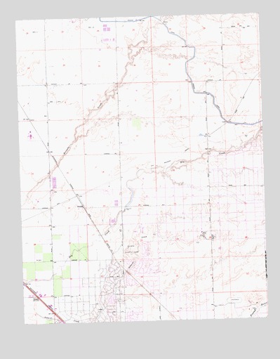
Kismet, CA USGS Topographic Map
Click on map above to begin viewing in our Map Viewer.

This topographic map contains these locations and features:
Feature Name Type Latitude Longitude GNIS ID View Map
KismetPopulated PlaceN37.0472°W120.0935°1658911View Map
Madera AcresPopulated PlaceN37.0191°W120.0668°1867039View Map
Madera Acres Census Designated PlaceCensusN37.0123°W120.0799°2408158View Map
Madera Air Force Station (historical)MilitaryN37.0339°W120.0328°2086563View Map
Madera Country ClubLocaleN37.0294°W120.0699°1654317View Map
Madera Country Club EstatesPopulated PlaceN37.0261°W120.0646°1812768View Map
Madera County Fire Department Station 3BuildingN37.0179°W120.0754°2623962View Map
Madera HighlandsPopulated PlaceN37.0111°W120.0810°1812770View Map
Mendota DamDamN37.0460°W120.0726°228505View Map
NotarbPopulated PlaceN37.0111°W120.1191°252754View Map
Schmidt CreekStreamN37.0041°W120.1196°232654View Map
Talbot (historical)Populated PlaceN37.0736°W120.0318°1666164View Map
Talbot School (historical)SchoolN37.0536°W120.0291°1666165View Map
Valley Lake RanchosPopulated PlaceN37.0613°W120.0157°1812779View Map

Note: Coordinates in the location and feature list above are referenced to NAD83 datum.


Copyright (C) 2008-2024 Ryan Niemi / Sunset Dynamics ... All Rights Reserved