TopoQuest Logo
Do you find TopoQuest useful?
Help keep TopoQuest running and adding new maps/features by donating!
Bitcoin:  19c7KJd3qBynnjoSw5npx9KScwjBe4ifkT
Litecoin:  LXs6TkuXGGXo1vDsWCkWVdjQX94eUKd6ui
Home View Maps Find Maps Find Places Resources & Links


Sunrise Spring, Montana Topographic Map

USGS Map Title: Sunrise Spring, MT
USGS Map MRC: 47114D6
DRG (GeoTIFF) Download: o47114d6.tif


Neighboring USGS Topographic Map Quads:


  Baldy Lake, MT  
47114E7
 

  Hot Springs, MT  
47114E6
 

  Markle Pass, MT  
47114E5
 

  Paradise, MT  
47114D7
 

  Sunrise Spring, MT  
47114D6
 

  Camas Prairie, MT  
47114D5
 

  Quinns Hot Springs, MT  
47114C7
 

  Knowles, MT  
47114C6
 

  Perma, MT  
47114C5


Map MRC Location:

N48°
W115°
N48°
W114°
H8 H7 H6 H5 H4 H3 H2 H1
G8 G7 G6 G5 G4 G3 G2 G1
F8 F7 F6 F5 F4 F3 F2 F1
E8 E7 E6 E5 E4 E3 E2 E1
D8 D7 D6 D5 D4 D3 D2 D1
C8 C7 C6 C5 C4 C3 C2 C1
B8 B7 B6 B5 B4 B3 B2 B1
A8 A7 A6 A5 A4 A3 A2 A1
N47°
W115°
N47°
W114°

Sunrise Spring, MT USGS 1:24K Topographic Map Preview:
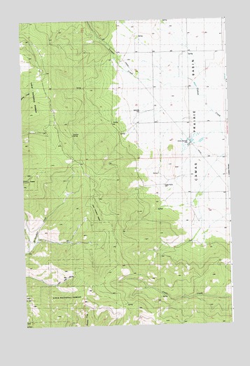
Sunrise Spring, MT USGS Topographic Map
Click on map above to begin viewing in our Map Viewer.

This topographic map contains these locations and features:
Feature Name Type Latitude Longitude GNIS ID View Map
19N24W03CCDD01 WellWellN47.4291°W114.6310°822857View Map
19N24W03CDC_01 WellWellN47.4299°W114.6429°822862View Map
19N24W04AADB01 WellWellN47.4410°W114.6510°822948View Map
19N24W04CACA01 WellWellN47.4338°W114.6621°822895View Map
19N24W10BBAB01 WellWellN47.4280°W114.6454°822848View Map
19N24W10BCBC01 WellWellN47.4244°W114.6479°822824View Map
19N24W10BCC_01 WellWellN47.4227°W114.6482°822815View Map
20N24W15BBBB01 WellWellN47.4994°W114.6462°823419View Map
20N24W15CBB_01 WellWellN47.4933°W114.6468°823375View Map
20N24W18DDAC01 WellWellN47.4891°W114.6924°823363View Map
20N24W19AAAA01 WellWellN47.4860°W114.6921°823343View Map
20N24W21AAA_01 WellWellN47.4860°W114.6496°823341View Map
20N24W21AAA_02 WellWellN47.4860°W114.6496°823342View Map
20N24W22AAB_01 WellWellN47.4860°W114.6310°823340View Map
20N24W28DDC_01 WellWellN47.4588°W114.6521°823107View Map
20N24W29CDCD01 WellWellN47.4580°W114.6840°823093View Map
20N24W29CDDD01 WellWellN47.4580°W114.6810°823092View Map
20N24W29DADD01 WellWellN47.4624°W114.6701°823143View Map
20N24W34AAAB01 WellWellN47.4569°W114.6274°823079View Map
20N24W34AAC_01 WellWellN47.4552°W114.6310°823066View Map
20N24W34BAB_01 WellWellN47.4569°W114.6415°823080View Map
20N24W34DCC_01 WellWellN47.4441°W114.6362°822964View Map
Camas Prairie CemeteryCemeteryN47.4323°W114.6647°780816View Map
Camas SubstationLocaleN47.4872°W114.6501°799296View Map
Green SpringsSpringN47.4508°W114.6496°784301View Map
Greenspring Post Office (historical)Post OfficeN47.4572°W114.6482°1780961View Map
Hominsto CemeteryCemeteryN47.4624°W114.6782°784977View Map
Pluffe CemeteryCemeteryN47.4838°W114.6851°1780935View Map
Sunrise SpringSpringN47.4532°W114.7194°791709View Map

Note: Coordinates in the location and feature list above are referenced to NAD83 datum.


Copyright (C) 2008-2025 Ryan Niemi / Sunset Dynamics ... All Rights Reserved