TopoQuest Logo
Do you find TopoQuest useful?
Help keep TopoQuest running and adding new maps/features by donating!
Bitcoin:  19c7KJd3qBynnjoSw5npx9KScwjBe4ifkT
Litecoin:  LXs6TkuXGGXo1vDsWCkWVdjQX94eUKd6ui
Home View Maps Find Maps Find Places Resources & Links


Chalk Mountain, California Topographic Map

USGS Map Title: Chalk Mountain, CA
USGS Map MRC: 40121H7
DRG (GeoTIFF) Download: o40121h7.tif


Neighboring USGS Topographic Map Quads:


  Big Bend, CA  
41121A8
 

  Skunk Ridge, CA  
41121A7
 

  Burney Falls, CA  
41121A6
 

  Roaring Creek, CA  
40121H8
 

  Chalk Mountain, CA  
40121H7
 

  Burney, CA  
40121H6
 

  Montgomery Creek, CA  
40121G8
 

  Hatchet Mountain Pass, CA  
40121G7
 

  Burney Mountain West, CA  
40121G6


Map MRC Location:

N41°
W122°
N41°
W121°
H8 H7 H6 H5 H4 H3 H2 H1
G8 G7 G6 G5 G4 G3 G2 G1
F8 F7 F6 F5 F4 F3 F2 F1
E8 E7 E6 E5 E4 E3 E2 E1
D8 D7 D6 D5 D4 D3 D2 D1
C8 C7 C6 C5 C4 C3 C2 C1
B8 B7 B6 B5 B4 B3 B2 B1
A8 A7 A6 A5 A4 A3 A2 A1
N40°
W122°
N40°
W121°

Chalk Mountain, CA USGS 1:24K Topographic Map Preview:
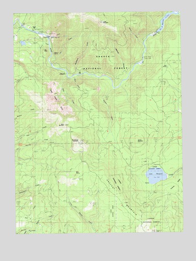
Chalk Mountain, CA USGS Topographic Map
Click on map above to begin viewing in our Map Viewer.

This topographic map contains these locations and features:
Feature Name Type Latitude Longitude GNIS ID View Map
Bales MountainSummitN40.9365°W121.8386°256480View Map
Bear SpringSpringN40.9104°W121.8300°256703View Map
Bedrock SpringSpringN40.9769°W121.8459°256778View Map
Bee KnollSummitN40.9785°W121.8522°1655822View Map
Blackberry CreekStreamN40.9654°W121.8275°257167View Map
Buffum CreekStreamN40.8765°W121.8614°257649View Map
Bunchgrass MountainSummitN40.9271°W121.8269°257685View Map
Cantrell CreekStreamN40.9821°W121.8494°257938View Map
Canyon CreekStreamN40.9568°W121.8014°257941View Map
Chalk MountainSummitN40.9943°W121.8086°258183View Map
Deep CreekStreamN40.9640°W121.8361°259181View Map
Deep Creek CampgroundLocaleN40.9660°W121.8369°259183View Map
Deep Creek SlideSlopeN40.9490°W121.8442°1661794View Map
Fox CreekStreamN40.9754°W121.8467°260321View Map
Goose MountainSummitN40.9271°W121.7842°260709View Map
Hagen FlatFlatN40.9907°W121.8600°261004View Map
Hatchet MountainSummitN40.9060°W121.8336°261151View Map
Hawk CreekStreamN40.9638°W121.8303°261159View Map
Haynes Reservoir 2223 DamDamN40.9065°W121.7661°1664354View Map
KARZ-FM (Burney)TowerN40.9057°W121.8283°1662817View Map
Lake MargaretReservoirN40.9074°W121.7707°274881View Map
Malinda GulchValleyN40.9654°W121.7922°263131View Map
Mud SpringSpringN40.9687°W121.7616°263941View Map
Oak FlatFlatN40.9657°W121.8247°264283View Map
Pit Five DamDamN40.9924°W121.8678°264820View Map
Pit Four DamDamN40.9882°W121.7688°264819View Map
Pit Four PowerhouseLocaleN40.9863°W121.8475°1654381View Map
Pit Four ReservoirReservoirN40.9976°W121.7607°264817View Map
Pit Four ReservoirReservoirN40.9882°W121.7694°1663656View Map
Pit Number 4 97-100 DamDamN40.9882°W121.7694°1663655View Map
Pit Number 5 Diversion 97-107 DamDamN40.9915°W121.8711°1663662View Map
Ruling CreekStreamN40.9821°W121.7786°265669View Map
Screwdriver CreekStreamN40.9979°W121.7505°265952View Map
Swift CreekStreamN40.9852°W121.8486°268032View Map

Note: Coordinates in the location and feature list above are referenced to NAD83 datum.


Copyright (C) 2008-2025 Ryan Niemi / Sunset Dynamics ... All Rights Reserved