TopoQuest Logo
Do you find TopoQuest useful?
Help keep TopoQuest running and adding new maps/features by donating!
Bitcoin:  19c7KJd3qBynnjoSw5npx9KScwjBe4ifkT
Litecoin:  LXs6TkuXGGXo1vDsWCkWVdjQX94eUKd6ui
Home View Maps Find Maps Find Places Resources & Links


Doubtful Canyon, Arizona Topographic Map

USGS Map Title: Doubtful Canyon, AZ
USGS Map MRC: 32109C1
DRG (GeoTIFF) Download: o32109c1.tif


Neighboring USGS Topographic Map Quads:


  Orange Butte, AZ  
32109D2
 

  Engine Mountain, AZ  
32109D1
 

  Summit, NM  
32108D8
 

  San Simon, AZ  
32109C2
 

  Doubtful Canyon, AZ  
32109C1
 

  Mondel, NM  
32108C8
 

  Vanar NW, AZ  
32109B2
 

  Vanar, AZ  
32109B1
 

  Steins, NM  
32108B8


Map MRC Location:

N33°
W110°
N33°
W109°
H8 H7 H6 H5 H4 H3 H2 H1
G8 G7 G6 G5 G4 G3 G2 G1
F8 F7 F6 F5 F4 F3 F2 F1
E8 E7 E6 E5 E4 E3 E2 E1
D8 D7 D6 D5 D4 D3 D2 D1
C8 C7 C6 C5 C4 C3 C2 C1
B8 B7 B6 B5 B4 B3 B2 B1
A8 A7 A6 A5 A4 A3 A2 A1
N32°
W110°
N32°
W109°

Doubtful Canyon, AZ USGS 1:24K Topographic Map Preview:
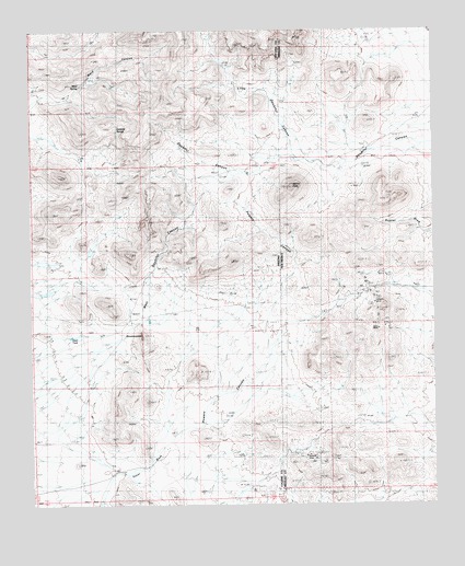
Doubtful Canyon, AZ USGS Topographic Map
Click on map above to begin viewing in our Map Viewer.

This topographic map contains these locations and features:
Feature Name Type Latitude Longitude GNIS ID View Map
Black FaceMineN32.3156°W109.0409°917149View Map
Braidfoot RanchLocaleN32.3397°W109.0360°900149View Map
Buckhorn ProspectMineN32.2501°W109.0006°917148View Map
Canteen SpringSpringN32.3487°W109.0987°25448View Map
Dean TankReservoirN32.2945°W109.1132°25449View Map
Doubtful CanyonValleyN32.3511°W109.0872°25450View Map
Elore MineMineN32.3051°W109.0187°900157View Map
Eloro MineMineN32.2973°W109.0173°917152View Map
Giddings GraveCemeteryN32.3376°W109.0539°25451View Map
Guess RanchLocaleN32.2673°W109.0012°900161View Map
Little Doubtful CanyonValleyN32.3462°W109.0448°25452View Map
Mayflower ProspectMineN32.2501°W109.0006°917150View Map
McKenzie TankReservoirN32.2562°W109.0931°25453View Map
Merrimac ProspectMineN32.2501°W109.0006°917151View Map
National MineMineN32.2626°W109.0395°900169View Map
Peloncillo Mountains WildernessReserveN32.3746°W109.0946°2035246View Map
Powers CanyonValleyN32.2595°W109.0964°25454View Map
Powers CanyonValleyN32.2595°W109.0964°900174View Map
RoostercombSummitN32.2948°W109.0912°25455View Map
Steins PeakSummitN32.3337°W109.0437°900179View Map
Steins Peak RangeRangeN32.3337°W109.0437°925101View Map
Steins Peak StationLocaleN32.3379°W109.0295°920655View Map
Volcano MineMineN32.3051°W109.0187°900181View Map
Ward CanyonValleyN32.3565°W109.1239°25457View Map
Ward SpringSpringN32.3627°W109.1074°25458View Map
West Doubtful CanyonValleyN32.2887°W109.1067°25459View Map
Wheeler PlacePopulated PlaceN32.2648°W109.0834°25460View Map

Note: Coordinates in the location and feature list above are referenced to NAD83 datum.


Copyright (C) 2008-2025 Ryan Niemi / Sunset Dynamics ... All Rights Reserved