TopoQuest Logo
Do you find TopoQuest useful?
Help keep TopoQuest running and adding new maps/features by donating!
Bitcoin:  19c7KJd3qBynnjoSw5npx9KScwjBe4ifkT
Litecoin:  LXs6TkuXGGXo1vDsWCkWVdjQX94eUKd6ui
Home View Maps Find Maps Find Places Resources & Links


Drake Butte, Oregon Topographic Map

USGS Map Title: Drake Butte, OR
USGS Map MRC: 44120A3
DRG (GeoTIFF) Download: o44120a3.tif


Neighboring USGS Topographic Map Quads:


  Post, OR  
44120B4
 

  Prairie Hill, OR  
44120B3
 

  Committee Creek, OR  
44120B2
 

  Mule Deer Ridge, OR  
44120A4
 

  Drake Butte, OR  
44120A3
 

  Arrowwood Point, OR  
44120A2
 

  Pringle Flat, OR  
43120H4
 

  Logan Butte, OR  
43120H3
 

  Gerry Mountain, OR  
43120H2


Map MRC Location:

N45°
W121°
N45°
W120°
H8 H7 H6 H5 H4 H3 H2 H1
G8 G7 G6 G5 G4 G3 G2 G1
F8 F7 F6 F5 F4 F3 F2 F1
E8 E7 E6 E5 E4 E3 E2 E1
D8 D7 D6 D5 D4 D3 D2 D1
C8 C7 C6 C5 C4 C3 C2 C1
B8 B7 B6 B5 B4 B3 B2 B1
A8 A7 A6 A5 A4 A3 A2 A1
N44°
W121°
N44°
W120°

Drake Butte, OR USGS 1:24K Topographic Map Preview:
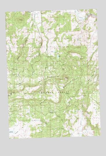
Drake Butte, OR USGS Topographic Map
Click on map above to begin viewing in our Map Viewer.

This topographic map contains these locations and features:
Feature Name Type Latitude Longitude GNIS ID View Map
Antelope FlatFlatN44.0068°W120.3669°1137241View Map
Camp Gibbs (historical)MilitaryN44.0000°W120.2500°1851659View Map
CCC SpringSpringN44.0568°W120.2589°1139487View Map
Coyote SpringSpringN44.0710°W120.2968°1140341View Map
Double Cabin CreekStreamN44.0082°W120.3011°1141200View Map
Double Cabin PondLakeN44.0255°W120.3176°1133886View Map
Double Cabin Recreation SiteLocaleN44.0304°W120.3219°1156704View Map
Drake CreekStreamN44.1246°W120.3369°1141228View Map
Drake SpringSpringN44.0428°W120.3518°1120075View Map
East Shotgun SpringSpringN44.0533°W120.3573°1141642View Map
Elkhorn Recreation SiteLocaleN44.0796°W120.3200°1926237View Map
Frank ReservoirReservoirN44.0906°W120.2935°1153147View Map
Hillside SpringSpringN44.0666°W120.3012°1143608View Map
Houston RanchLocaleN44.0229°W120.2919°1156447View Map
J F SpringSpringN44.0309°W120.2959°1144151View Map
Maury Guard Station (historical)LocaleN44.0626°W120.2558°1145882View Map
Miller LakeLakeN44.0794°W120.3063°1146276View Map
Peterson ReservoirReservoirN44.0957°W120.2997°1153146View Map
Polk ButteSummitN44.1160°W120.3552°1136640View Map
Reams ReservoirReservoirN44.0818°W120.3169°1153144View Map
Shotgun CreekStreamN44.1151°W120.3381°1149445View Map
Soap SpringSpringN44.0400°W120.2748°1149841View Map
Telephone FlatFlatN44.0415°W120.2886°1153145View Map
Tom Vawn CreekStreamN44.1160°W120.2755°1151318View Map
Tom Vawn SpringSpringN44.0759°W120.2763°1133885View Map
Tower PointSummitN44.0571°W120.2958°1151356View Map
West Shotgun SpringSpringN44.0682°W120.3687°1152142View Map
Wildcat CreekStreamN44.1243°W120.3358°1152336View Map
Wiley CreekStreamN44.0229°W120.2769°1152370View Map
Wiley FlatFlatN44.0235°W120.2567°1153142View Map
Wiley Flat Recreation SiteLocaleN44.0432°W120.3080°1152372View Map

Note: Coordinates in the location and feature list above are referenced to NAD83 datum.


Copyright (C) 2008-2024 Ryan Niemi / Sunset Dynamics ... All Rights Reserved