TopoQuest Logo
Do you find TopoQuest useful?
Help keep TopoQuest running and adding new maps/features by donating!
Bitcoin:  19c7KJd3qBynnjoSw5npx9KScwjBe4ifkT
Litecoin:  LXs6TkuXGGXo1vDsWCkWVdjQX94eUKd6ui
Home View Maps Find Maps Find Places Resources & Links


Prairie Hill, Oregon Topographic Map

USGS Map Title: Prairie Hill, OR
USGS Map MRC: 44120B3
DRG (GeoTIFF) Download: o44120b3.tif


Neighboring USGS Topographic Map Quads:


  Gerow Butte, OR  
44120C4
 

  Lookout Mountain, OR  
44120C3
 

  Williams Prairie, OR  
44120C2
 

  Post, OR  
44120B4
 

  Prairie Hill, OR  
44120B3
 

  Committee Creek, OR  
44120B2
 

  Mule Deer Ridge, OR  
44120A4
 

  Drake Butte, OR  
44120A3
 

  Arrowwood Point, OR  
44120A2


Map MRC Location:

N45°
W121°
N45°
W120°
H8 H7 H6 H5 H4 H3 H2 H1
G8 G7 G6 G5 G4 G3 G2 G1
F8 F7 F6 F5 F4 F3 F2 F1
E8 E7 E6 E5 E4 E3 E2 E1
D8 D7 D6 D5 D4 D3 D2 D1
C8 C7 C6 C5 C4 C3 C2 C1
B8 B7 B6 B5 B4 B3 B2 B1
A8 A7 A6 A5 A4 A3 A2 A1
N44°
W121°
N44°
W120°

Prairie Hill, OR USGS 1:24K Topographic Map Preview:
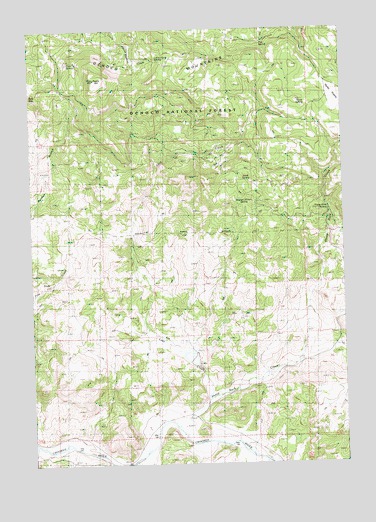
Prairie Hill, OR USGS Topographic Map
Click on map above to begin viewing in our Map Viewer.

This topographic map contains these locations and features:
Feature Name Type Latitude Longitude GNIS ID View Map
Brummer SpringsSpringN44.1911°W120.2509°1157525View Map
Coin SpringSpringN44.2400°W120.3604°1139908View Map
Coyote SpringSpringN44.2257°W120.3012°1157549View Map
Crook CountyCivilN44.1422°W120.3566°1155128View Map
Dick DamDamN44.1541°W120.3136°1153931View Map
Dick RanchLocaleN44.1401°W120.3089°1638222View Map
Dick ReservoirReservoirN44.1558°W120.3136°1153932View Map
Gibson SpringSpringN44.1868°W120.3712°1157551View Map
Goldie SpringSpringN44.2494°W120.3073°1142842View Map
Horse PrairieFlatN44.2293°W120.2528°1143782View Map
Horse SpringSpringN44.2283°W120.2655°1143790View Map
Keeney CreekStreamN44.1285°W120.2917°1144507View Map
Little Horse SpringSpringN44.2414°W120.3250°1145181View Map
Lost CreekStreamN44.1429°W120.3064°1158332View Map
Pipe SpringSpringN44.2460°W120.2830°1147768View Map
Prairie HillSummitN44.2350°W120.3500°1147984View Map
Sand SpringSpringN44.2063°W120.2896°1133888View Map
Section 11 SpringSpringN44.1982°W120.2906°1149220View Map
Sheep Rock CreekStreamN44.1412°W120.3072°1149354View Map
Sheep Rock ReservoirReservoirN44.2233°W120.2621°1157627View Map
Sheep Rock SpringSpringN44.1983°W120.2569°1149355View Map
Shotgun Ranch AirstripAirportN44.1320°W120.3259°2650863View Map
Spring CreekStreamN44.1429°W120.3094°1153148View Map
Township ReservoirReservoirN44.1538°W120.2544°1166809View Map
Wasp SpringSpringN44.2430°W120.2538°1638459View Map

Note: Coordinates in the location and feature list above are referenced to NAD83 datum.


Copyright (C) 2008-2024 Ryan Niemi / Sunset Dynamics ... All Rights Reserved