TopoQuest Logo
Do you find TopoQuest useful?
Help keep TopoQuest running and adding new maps/features by donating!
Bitcoin:  19c7KJd3qBynnjoSw5npx9KScwjBe4ifkT
Litecoin:  LXs6TkuXGGXo1vDsWCkWVdjQX94eUKd6ui
Home View Maps Find Maps Find Places Resources & Links


Elida, New Mexico Topographic Map

USGS Map Title: Elida, NM
USGS Map MRC: 33103H6
DRG (GeoTIFF) Download: o33103h6.tif


Neighboring USGS Topographic Map Quads:


  Gammil Well SE, NM  
34103A7
 

  Lewiston Lake, NM  
34103A6
 

  Floyd SE, NM  
34103A5
 

  San Juan Mesa East, NM  
33103H7
 

  Elida, NM  
33103H6
 

  Badger Lake, NM  
33103H5
 

  Kenna, NM  
33103G7
 

  Schram Lake, NM  
33103G6
 

  Elida SE, NM  
33103G5


Map MRC Location:

N34°
W104°
N34°
W103°
H8 H7 H6 H5 H4 H3 H2 H1
G8 G7 G6 G5 G4 G3 G2 G1
F8 F7 F6 F5 F4 F3 F2 F1
E8 E7 E6 E5 E4 E3 E2 E1
D8 D7 D6 D5 D4 D3 D2 D1
C8 C7 C6 C5 C4 C3 C2 C1
B8 B7 B6 B5 B4 B3 B2 B1
A8 A7 A6 A5 A4 A3 A2 A1
N33°
W104°
N33°
W103°

Elida, NM USGS 1:24K Topographic Map Preview:
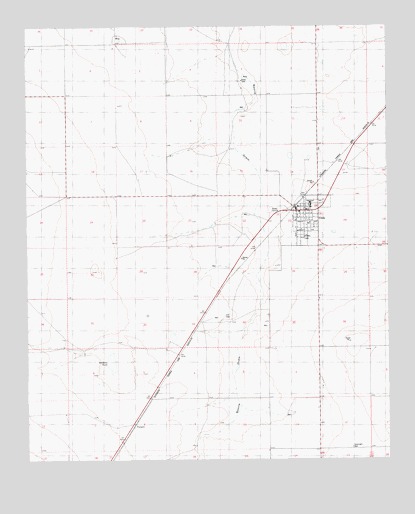
Elida, NM USGS Topographic Map
Click on map above to begin viewing in our Map Viewer.

This topographic map contains these locations and features:
Feature Name Type Latitude Longitude GNIS ID View Map
06042 Water WellWellN33.9762°W103.6566°934920View Map
06043 Water WellWellN33.9445°W103.6286°935053View Map
06048 Water WellWellN33.9945°W103.7458°935235View Map
06049 Water WellWellN33.9873°W103.7497°934913View Map
06055 Water WellWellN33.9087°W103.7347°935031View Map
06056 Water WellWellN33.9934°W103.7166°935234View Map
06057 Water WellWellN33.9773°W103.7152°935224View Map
06058 Water WellWellN33.9768°W103.6713°934921View Map
06059 Water WellWellN33.9729°W103.6458°934918View Map
06060 Water WellWellN33.9604°W103.6408°935059View Map
06061 Water WellWellN33.9612°W103.6505°934924View Map
06062 Water WellWellN33.9518°W103.6516°934934View Map
06063 Water WellWellN33.9645°W103.6763°935060View Map
06064 Water WellWellN33.9604°W103.6961°934923View Map
06065 Water WellWellN33.9559°W103.7080°935057View Map
06066 Water WellWellN33.9518°W103.7172°935055View Map
06067 Water WellWellN33.9370°W103.6900°934935View Map
06068 Water WellWellN33.9431°W103.6816°935050View Map
06069 Water WellWellN33.9359°W103.6550°935047View Map
06070 Water WellWellN33.9309°W103.6611°934942View Map
06071 Water WellWellN33.9284°W103.6719°935041View Map
06072 Water WellWellN33.9151°W103.6769°935036View Map
06073 Water WellWellN33.9218°W103.6458°934951View Map
06100 Water WellWellN33.9068°W103.6991°934957View Map
06102 Water WellWellN33.8912°W103.6861°934962View Map
06103 Water WellWellN33.8909°W103.6855°934961View Map
06104 Water WellWellN33.8795°W103.6894°934967View Map
06105 Water WellWellN33.8901°W103.6644°935022View Map
06106 Water WellWellN33.8929°W103.6452°935025View Map
06107 Water WellWellN33.8787°W103.6352°934965View Map
06108 Water WellWellN33.8781°W103.6641°935015View Map
Bonham TankReservoirN33.9032°W103.7214°886587View Map
Castano de Sosas Route Historical MarkerParkN33.9468°W103.6566°932249View Map
Danbom DairyLocaleN33.9922°W103.7039°2706629View Map
ElidaPopulated PlaceN33.9468°W103.6566°898771View Map
Elida CemeteryCemeteryN33.9467°W103.6566°931200View Map
Elida Church of ChristChurchN33.9468°W103.6566°921126View Map
Elida Post OfficePost OfficeN33.9471°W103.6552°938278View Map
Elida United Methodist ChurchChurchN33.9468°W103.6566°920531View Map
Elida Weather StationLocaleN33.9468°W103.6566°931817View Map
First Baptist ChurchChurchN33.9468°W103.6566°921015View Map
Methodist Episcopal ChurchChurchN33.9451°W103.6566°929452View Map
Pecos Valley Historical MarkerParkN33.9468°W103.6566°932291View Map
Ruth McCowen Public LibraryBuildingN33.9468°W103.6566°930503View Map
TorneroPopulated PlaceN33.8845°W103.7138°899960View Map
Town of ElidaCivilN33.9443°W103.6554°2412473View Map
Town of Elida Fire and Rescue DepartmentBuildingN33.9466°W103.6534°2657802View Map

Note: Coordinates in the location and feature list above are referenced to NAD83 datum.


Copyright (C) 2008-2025 Ryan Niemi / Sunset Dynamics ... All Rights Reserved