TopoQuest Logo
Do you find TopoQuest useful?
Help keep TopoQuest running and adding new maps/features by donating!
Bitcoin:  19c7KJd3qBynnjoSw5npx9KScwjBe4ifkT
Litecoin:  LXs6TkuXGGXo1vDsWCkWVdjQX94eUKd6ui
Home View Maps Find Maps Find Places Resources & Links


Flynn Creek North, Montana Topographic Map

USGS Map Title: Flynn Creek North, MT
USGS Map MRC: 48105B7
DRG (GeoTIFF) Download: o48105b7.tif


Neighboring USGS Topographic Map Quads:


  Todd Lakes, MT  
48105C8
 

  Todd Lakes SE, MT  
48105C7
 

  Tule Valley West, MT  
48105C6
 

  Oswego NW, MT  
48105B8
 

  Flynn Creek North, MT  
48105B7
 

  Wolf Point NW, MT  
48105B6
 

  Oswego, MT  
48105A8
 

  Flynn Creek South, MT  
48105A7
 

  Wolf Point, MT  
48105A6


Map MRC Location:

N49°
W106°
N49°
W105°
H8 H7 H6 H5 H4 H3 H2 H1
G8 G7 G6 G5 G4 G3 G2 G1
F8 F7 F6 F5 F4 F3 F2 F1
E8 E7 E6 E5 E4 E3 E2 E1
D8 D7 D6 D5 D4 D3 D2 D1
C8 C7 C6 C5 C4 C3 C2 C1
B8 B7 B6 B5 B4 B3 B2 B1
A8 A7 A6 A5 A4 A3 A2 A1
N48°
W106°
N48°
W105°

Flynn Creek North, MT USGS 1:24K Topographic Map Preview:
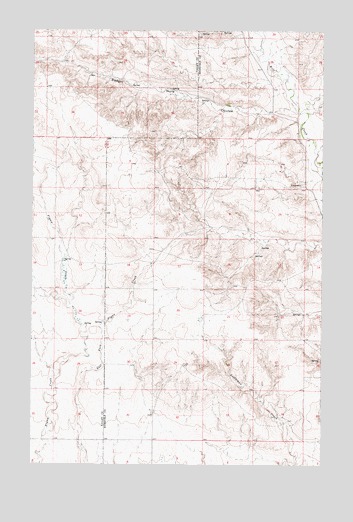
Flynn Creek North, MT USGS Topographic Map
Click on map above to begin viewing in our Map Viewer.

This topographic map contains these locations and features:
Feature Name Type Latitude Longitude GNIS ID View Map
27N46E06BB__01 WellWellN48.1309°W105.8417°826536View Map
28N46E02BBCB01 WellWellN48.1297°W105.7583°826519View Map
28N46E05CBCA01 WellWellN48.2103°W105.8208°1634143View Map
28N46E05DDAD01 WellWellN48.2067°W105.8025°1634108View Map
28N46E06BAAC01 WellWellN48.2172°W105.8356°1634200View Map
28N46E09ABBC01 WellWellN48.2028°W105.7897°1634085View Map
28N46E10BBBB01 WellWellN48.2047°W105.7808°1634096View Map
28N46E18AADD01 WellWellN48.1870°W105.8231°1633957View Map
28N46E32BCCC01 WellWellN48.1403°W105.8220°826621View Map
29N45E26DCDD01 SpringSpringN48.2342°W105.8329°1634316View Map
29N45E36BAAA01 SpringSpringN48.2332°W105.8159°1634311View Map
Badger Hole CouleeValleyN48.2264°W105.7625°768434View Map
Kohl School (historical)SchoolN48.2228°W105.7950°1669137View Map
Marmon School (historical)SchoolN48.2361°W105.8364°1819541View Map
Warmbrod School (historical)SchoolN48.1542°W105.7903°1669136View Map

Note: Coordinates in the location and feature list above are referenced to NAD83 datum.


Copyright (C) 2008-2025 Ryan Niemi / Sunset Dynamics ... All Rights Reserved