TopoQuest Logo
Do you find TopoQuest useful?
Help keep TopoQuest running and adding new maps/features by donating!
Bitcoin:  19c7KJd3qBynnjoSw5npx9KScwjBe4ifkT
Litecoin:  LXs6TkuXGGXo1vDsWCkWVdjQX94eUKd6ui
Home View Maps Find Maps Find Places Resources & Links


Hartington, Nebraska Topographic Map

USGS Map Title: Hartington, NE
USGS Map MRC: 42097E3
DRG (GeoTIFF) Download: o42097e3.tif


Neighboring USGS Topographic Map Quads:


  Crofton, NE  
42097F4
 

  Fordyce, NE  
42097F3
 

  Wynot, NE  
42097F2
 

  Hartington SW, NE  
42097E4
 

  Hartington, NE  
42097E3
 

  Coleridge, NE  
42097E2
 

  Magnet, NE  
42097D4
 

  Randolph North, NE  
42097D3
 

  Belden, NE  
42097D2


Map MRC Location:

N43°
W98°
N43°
W97°
H8 H7 H6 H5 H4 H3 H2 H1
G8 G7 G6 G5 G4 G3 G2 G1
F8 F7 F6 F5 F4 F3 F2 F1
E8 E7 E6 E5 E4 E3 E2 E1
D8 D7 D6 D5 D4 D3 D2 D1
C8 C7 C6 C5 C4 C3 C2 C1
B8 B7 B6 B5 B4 B3 B2 B1
A8 A7 A6 A5 A4 A3 A2 A1
N42°
W98°
N42°
W97°

Hartington, NE USGS 1:24K Topographic Map Preview:
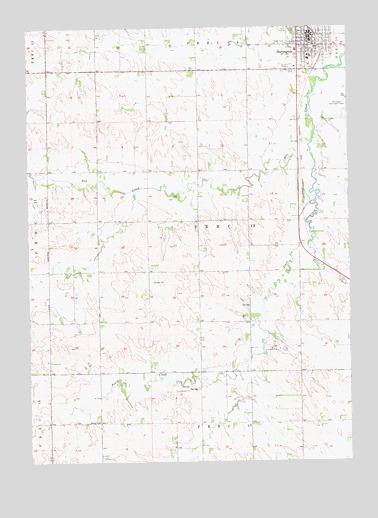
Hartington, NE USGS Topographic Map
Click on map above to begin viewing in our Map Viewer.

This topographic map contains these locations and features:
Feature Name Type Latitude Longitude GNIS ID View Map
C D FeedlotsLocaleN42.5731°W97.3039°2581826View Map
Camper CourtLocaleN42.6225°W97.2645°1874560View Map
Cedar Catholic High SchoolSchoolN42.6167°W97.2645°1874568View Map
Cedar CountyCivilN42.5993°W97.2524°835835View Map
Cedar County CourthouseBuildingN42.6200°W97.2642°1874573View Map
Cedar County Historical MarkerParkN42.6200°W97.2642°1874555View Map
Cedar County Historical MuseumBuildingN42.6200°W97.2684°1874565View Map
Cedar County Sheriff's OfficeBuildingN42.6203°W97.2643°1874575View Map
City of HartingtonCivilN42.6206°W97.2669°2394310View Map
Election Precinct 12CivilN42.5692°W97.3087°1929170View Map
Felber ParkParkN42.6250°W97.2717°829285View Map
Filips Eye ClinicHospitalN42.6225°W97.2645°1874561View Map
First Congregational ChurchChurchN42.6194°W97.2684°1874571View Map
HartingtonPopulated PlaceN42.6225°W97.2645°829832View Map
Hartington (historical)LocaleN42.6247°W97.2653°1874556View Map
Hartington Ambulance SquadBuildingN42.6213°W97.2657°2553749View Map
Hartington City and Rural Volunteer Fire DepartmentBuildingN42.6208°W97.2636°2553262View Map
Hartington ElevatorLocaleN42.6247°W97.2656°1874557View Map
Hartington Family DentistryHospitalN42.6222°W97.2651°1874562View Map
Hartington Municipal Airport/ Bud Becker FieldAirportN42.6014°W97.2531°837583View Map
Hartington Nursing CenterHospitalN42.6183°W97.2701°1874564View Map
Hartington Police DepartmentBuildingN42.6204°W97.2644°1874574View Map
Hartington Post OfficePost OfficeN42.6214°W97.2655°1874559View Map
Hartington Public LibraryBuildingN42.6200°W97.2651°1874558View Map
Hartington Public SchoolsSchoolN42.6158°W97.2642°1874567View Map
Hartington, Home of Two Nebraska Governors Historical MarkerParkN42.6200°W97.2642°1874554View Map
Holy Trinity Catholic ChurchChurchN42.6167°W97.2653°1874572View Map
Holy Trinity Elementary SchoolSchoolN42.6158°W97.2651°1874569View Map
Kerloo CreekStreamN42.5617°W97.2659°830484View Map
Pearl CreekStreamN42.5911°W97.2648°832022View Map
Precinct SeventeenCivilN42.5006°W97.3003°1874468View Map
Precinct TwelveCivilN42.5667°W97.3003°1874467View Map
Robins SchoolSchoolN42.5117°W97.3487°832621View Map
Sacred Heart Medical CenterHospitalN42.6183°W97.2701°1874563View Map
Saint Michaels CemeteryCemeteryN42.6119°W97.2703°833027View Map
Trinity Lutheran ChurchChurchN42.6208°W97.2651°1874570View Map
Washington (historical)LocaleN42.6225°W97.2645°1874498View Map

Note: Coordinates in the location and feature list above are referenced to NAD83 datum.


Copyright (C) 2008-2025 Ryan Niemi / Sunset Dynamics ... All Rights Reserved