TopoQuest Logo
Do you find TopoQuest useful?
Help keep TopoQuest running and adding new maps/features by donating!
Bitcoin:  19c7KJd3qBynnjoSw5npx9KScwjBe4ifkT
Litecoin:  LXs6TkuXGGXo1vDsWCkWVdjQX94eUKd6ui
Home View Maps Find Maps Find Places Resources & Links


Avery Creek, Oregon Topographic Map

USGS Map Title: Avery Creek, OR
USGS Map MRC: 43117F6
DRG (GeoTIFF) Download: o43117f6.tif


Neighboring USGS Topographic Map Quads:


  South Mountain, OR  
43117G7
 

  Namorf, OR  
43117G6
 

  Harper, OR  
43117G5
 

  Tims Peak, OR  
43117F7
 

  Avery Creek, OR  
43117F6
 

  Keeney Ridge, OR  
43117F5
 

  Alder Creek, OR  
43117E7
 

  Rufino Butte, OR  
43117E6
 

  Hurley Flat, OR  
43117E5


Map MRC Location:

N44°
W118°
N44°
W117°
H8 H7 H6 H5 H4 H3 H2 H1
G8 G7 G6 G5 G4 G3 G2 G1
F8 F7 F6 F5 F4 F3 F2 F1
E8 E7 E6 E5 E4 E3 E2 E1
D8 D7 D6 D5 D4 D3 D2 D1
C8 C7 C6 C5 C4 C3 C2 C1
B8 B7 B6 B5 B4 B3 B2 B1
A8 A7 A6 A5 A4 A3 A2 A1
N43°
W118°
N43°
W117°

Avery Creek, OR USGS 1:24K Topographic Map Preview:
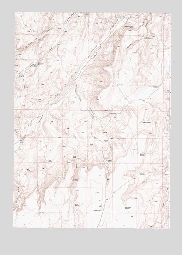
Avery Creek, OR USGS Topographic Map
Click on map above to begin viewing in our Map Viewer.

This topographic map contains these locations and features:
Feature Name Type Latitude Longitude GNIS ID View Map
Avery CreekStreamN43.6929°W117.7232°1117099View Map
Avery ReservoirReservoirN43.6384°W117.7012°1117101View Map
Avery SpringSpringN43.6662°W117.6998°1117102View Map
Badger ReservoirReservoirN43.6870°W117.6475°1117138View Map
Box Canyon ReservoirReservoirN43.6373°W117.6614°1118008View Map
Chastain SpringSpringN43.6756°W117.6744°1118837View Map
Copeland Trough SpringSpringN43.7410°W117.6908°1638560View Map
Cottonwood Cabin SpringSpringN43.7416°W117.6553°1119313View Map
Division ReservoirReservoirN43.6768°W117.6679°1119965View Map
Drip SpringSpringN43.6636°W117.7231°1158218View Map
Drip SpringSpringN43.6916°W117.6742°1158219View Map
Fence Line ReservoirReservoirN43.7070°W117.6343°1120663View Map
Gacey SpringSpringN43.7192°W117.7349°1142551View Map
Good Place ReservoirReservoirN43.6525°W117.7025°1121226View Map
Hidden ReservoirReservoirN43.6642°W117.6752°1121792View Map
Hu Tsi Tehaga CreekStreamN43.7435°W117.7088°1124809View Map
Knucklebone ReservoirReservoirN43.6338°W117.7299°1122831View Map
Mesa ReservoirReservoirN43.6354°W117.6797°1124075View Map
Military ReservoirReservoirN43.6685°W117.6496°1124140View Map
Mud SpringSpringN43.6583°W117.7402°1124484View Map
North Drip ReservoirReservoirN43.7355°W117.6459°1124743View Map
O'Toole ReservoirReservoirN43.6565°W117.6497°1124895View Map
Petrified ReservoirReservoirN43.7080°W117.6674°1125334View Map
Riley PlaceLocaleN43.6829°W117.6271°1638561View Map
Sai-be SpringSpringN43.7308°W117.6350°1127490View Map
Sixteenmile CreekStreamN43.7107°W117.7018°1127021View Map
Squaw Creek DamDamN43.7197°W117.7318°1133441View Map
Squaw Creek ReservoirReservoirN43.7198°W117.7326°1127488View Map
Stringer SpringSpringN43.7126°W117.7457°1127660View Map
Ti-he-cha-paa nena CreekStreamN43.7435°W117.7088°1127325View Map

Note: Coordinates in the location and feature list above are referenced to NAD83 datum.


Copyright (C) 2008-2025 Ryan Niemi / Sunset Dynamics ... All Rights Reserved