TopoQuest Logo
Do you find TopoQuest useful?
Help keep TopoQuest running and adding new maps/features by donating!
Bitcoin:  19c7KJd3qBynnjoSw5npx9KScwjBe4ifkT
Litecoin:  LXs6TkuXGGXo1vDsWCkWVdjQX94eUKd6ui
Home View Maps Find Maps Find Places Resources & Links


South Mountain, Oregon Topographic Map

USGS Map Title: South Mountain, OR
USGS Map MRC: 43117G7
DRG (GeoTIFF) Download: o43117g7.tif


Neighboring USGS Topographic Map Quads:


  Westfall Butte, OR  
43117H8
 

  Little Black Canyon, OR  
43117H7
 

  Westfall, OR  
43117H6
 

  Jonesboro, OR  
43117G8
 

  South Mountain, OR  
43117G7
 

  Namorf, OR  
43117G6
 

  Monument Peak, OR  
43117F8
 

  Tims Peak, OR  
43117F7
 

  Avery Creek, OR  
43117F6


Map MRC Location:

N44°
W118°
N44°
W117°
H8 H7 H6 H5 H4 H3 H2 H1
G8 G7 G6 G5 G4 G3 G2 G1
F8 F7 F6 F5 F4 F3 F2 F1
E8 E7 E6 E5 E4 E3 E2 E1
D8 D7 D6 D5 D4 D3 D2 D1
C8 C7 C6 C5 C4 C3 C2 C1
B8 B7 B6 B5 B4 B3 B2 B1
A8 A7 A6 A5 A4 A3 A2 A1
N43°
W118°
N43°
W117°

South Mountain, OR USGS 1:24K Topographic Map Preview:
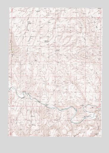
South Mountain, OR USGS Topographic Map
Click on map above to begin viewing in our Map Viewer.

This topographic map contains these locations and features:
Feature Name Type Latitude Longitude GNIS ID View Map
Alfred ReservoirReservoirN43.8607°W117.8238°1137122View Map
Bohna (historical)Populated PlaceN43.7804°W117.8260°1154064View Map
Boney Spring Number 1SpringN43.7696°W117.8450°1154067View Map
Boney Spring Number 2SpringN43.7618°W117.8437°1154066View Map
China CreekStreamN43.7810°W117.8255°1139667View Map
Coyne SpringSpringN43.8231°W117.8404°1133901View Map
Coyote SpringSpringN43.8249°W117.8399°1154060View Map
Gold CreekStreamN43.7754°W117.8046°1142814View Map
Hinkle RanchLocaleN43.7790°W117.7630°1162321View Map
Hog CreekStreamN43.7782°W117.7555°1143637View Map
Hog Creek Reservoir Number TwoReservoirN43.8415°W117.8270°1143639View Map
Mason Post Office (historical)Post OfficeN43.7777°W117.8066°1165593View Map
Miller CreekStreamN43.7793°W117.7724°1146265View Map
P Coyne RanchLocaleN43.7807°W117.8252°1160572View Map
Perry RanchLocaleN43.7688°W117.7710°1162320View Map
Perry SpringSpringN43.7541°W117.7887°1154068View Map
Rim SpringSpringN43.8299°W117.8310°1154062View Map
Rimrock SpringSpringN43.8263°W117.8580°1154061View Map
Simmons GulchValleyN43.7777°W117.7538°1149523View Map
Simmons Gulch SpringSpringN43.7535°W117.7573°1133900View Map
South Cottonwood ReservoirReservoirN43.8599°W117.8500°1149914View Map
South MountainSummitN43.8402°W117.8507°1150056View Map
South Mountain ReservoirReservoirN43.8722°W117.8341°1150058View Map
Sperry (historical)LocaleN43.7902°W117.8538°1154065View Map
Sperry CreekStreamN43.7902°W117.8485°1150116View Map
Spring CreekStreamN43.7854°W117.8435°1150158View Map
Tub Springs ReservoirReservoirN43.8335°W117.8123°1151470View Map
Tunnel SpurLocaleN43.7802°W117.7741°1151518View Map

Note: Coordinates in the location and feature list above are referenced to NAD83 datum.


Copyright (C) 2008-2025 Ryan Niemi / Sunset Dynamics ... All Rights Reserved