TopoQuest Logo
Do you find TopoQuest useful?
Help keep TopoQuest running and adding new maps/features by donating!
Bitcoin:  19c7KJd3qBynnjoSw5npx9KScwjBe4ifkT
Litecoin:  LXs6TkuXGGXo1vDsWCkWVdjQX94eUKd6ui
Home View Maps Find Maps Find Places Resources & Links


Hauck Coulee, Montana Topographic Map

USGS Map Title: Hauck Coulee, MT
USGS Map MRC: 48106C1
DRG (GeoTIFF) Download: o48106c1.tif


Neighboring USGS Topographic Map Quads:


  Spring Valley West, MT  
48106D2
 

  Spring Valley East, MT  
48106D1
 

  Lustre, MT  
48105D8
 

  Spring Creek SW, MT  
48106C2
 

  Hauck Coulee, MT  
48106C1
 

  Todd Lakes, MT  
48105C8
 

  Milk River Coulee, MT  
48106B2
 

  Dubbe Reservoir, MT  
48106B1
 

  Oswego NW, MT  
48105B8


Map MRC Location:

N49°
W107°
N49°
W106°
H8 H7 H6 H5 H4 H3 H2 H1
G8 G7 G6 G5 G4 G3 G2 G1
F8 F7 F6 F5 F4 F3 F2 F1
E8 E7 E6 E5 E4 E3 E2 E1
D8 D7 D6 D5 D4 D3 D2 D1
C8 C7 C6 C5 C4 C3 C2 C1
B8 B7 B6 B5 B4 B3 B2 B1
A8 A7 A6 A5 A4 A3 A2 A1
N48°
W107°
N48°
W106°

Hauck Coulee, MT USGS 1:24K Topographic Map Preview:
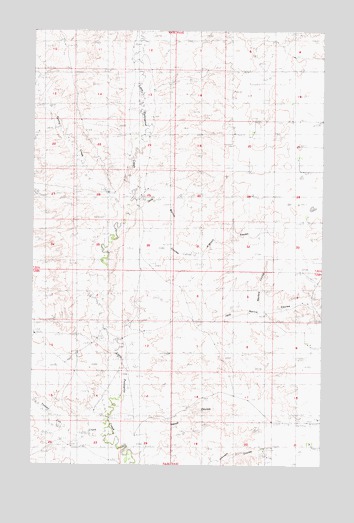
Hauck Coulee, MT USGS Topographic Map
Click on map above to begin viewing in our Map Viewer.

This topographic map contains these locations and features:
Feature Name Type Latitude Longitude GNIS ID View Map
29N44E09ACDC01 WellWellN48.2850°W106.0064°1634617View Map
29N44E09ACDD01 WellWellN48.2850°W106.0053°1634616View Map
29N44E16DDDC01 WellWellN48.2631°W106.0020°1634485View Map
30N44E07DDD_01 WellWellN48.3661°W106.0439°1635144View Map
30N44E09CBAB01 WellWellN48.3706°W106.0181°1635165View Map
30N44E20ACBA01 WellWellN48.3456°W106.0308°1635029View Map
30N44E28DCDB01 WellWellN48.3217°W106.0070°1634862View Map
Hauck CouleeValleyN48.2517°W106.0809°799927View Map
Jack Norris CouleeValleyN48.3231°W106.0834°799928View Map
Neufeld CouleeValleyN48.2939°W106.0284°799926View Map
O'Watch CouleeValleyN48.3111°W106.0572°799925View Map
Pleasant Valley School (historical)SchoolN48.2520°W106.0922°1819540View Map
Spring CreekStreamN48.3250°W106.0842°777055View Map
Star School (historical)SchoolN48.3486°W106.0292°1819544View Map
Tomato Can CreekStreamN48.2597°W106.0931°777697View Map

Note: Coordinates in the location and feature list above are referenced to NAD83 datum.


Copyright (C) 2008-2025 Ryan Niemi / Sunset Dynamics ... All Rights Reserved