TopoQuest Logo
Do you find TopoQuest useful?
Help keep TopoQuest running and adding new maps/features by donating!
Bitcoin:  19c7KJd3qBynnjoSw5npx9KScwjBe4ifkT
Litecoin:  LXs6TkuXGGXo1vDsWCkWVdjQX94eUKd6ui
Home View Maps Find Maps Find Places Resources & Links


Kerkhoven, Minnesota Topographic Map

USGS Map Title: Kerkhoven, MN
USGS Map MRC: 45095B3
DRG (GeoTIFF) Download: o45095b3.tif


Neighboring USGS Topographic Map Quads:


  De Graff, MN  
45095C4
 

  De Graff SE, MN  
45095C3
 

  Sunburg, MN  
45095C2
 

  Murdock, MN  
45095B4
 

  Kerkhoven, MN  
45095B3
 

  Pennock, MN  
45095B2
 

  Kerkhoven SW, MN  
45095A4
 

  Kerkhoven SE, MN  
45095A3
 

  Raymond, MN  
45095A2


Map MRC Location:

N46°
W96°
N46°
W95°
H8 H7 H6 H5 H4 H3 H2 H1
G8 G7 G6 G5 G4 G3 G2 G1
F8 F7 F6 F5 F4 F3 F2 F1
E8 E7 E6 E5 E4 E3 E2 E1
D8 D7 D6 D5 D4 D3 D2 D1
C8 C7 C6 C5 C4 C3 C2 C1
B8 B7 B6 B5 B4 B3 B2 B1
A8 A7 A6 A5 A4 A3 A2 A1
N45°
W96°
N45°
W95°

Kerkhoven, MN USGS 1:24K Topographic Map Preview:
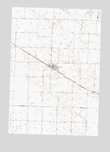
Kerkhoven, MN USGS Topographic Map
Click on map above to begin viewing in our Map Viewer.

This topographic map contains these locations and features:
Feature Name Type Latitude Longitude GNIS ID View Map
Bethel Baptist ChurchChurchN45.1933°W95.3133°2066353View Map
Bethel Baptist ChurchChurchN45.1933°W95.3133°2065716View Map
City of KerkhovenCivilN45.1924°W95.3201°2395519View Map
Evangelical Free ChurchChurchN45.1908°W95.3108°2066354View Map
Evangelical Free ChurchChurchN45.1908°W95.3108°2065717View Map
Hillside CemeteryCemeteryN45.1861°W95.3093°645010View Map
KerkhovenPopulated PlaceN45.1930°W95.3206°646118View Map
Kerkhoven Ambuland and Fire DepartmentBuildingN45.1912°W95.3146°2666537View Map
Kerkhoven Civic CenterHospitalN45.1919°W95.3153°2066349View Map
Kerkhoven Civic CenterHospitalN45.1919°W95.3153°2065712View Map
Kerkhoven Golf CourseLocaleN45.1931°W95.3203°2066347View Map
Kerkhoven Golf CourseLocaleN45.1931°W95.3203°2065710View Map
Kerkhoven High SchoolSchoolN45.1953°W95.3211°2066356View Map
Kerkhoven High SchoolSchoolN45.1953°W95.3211°2065719View Map
Kerkhoven Lutheran ChurchChurchN45.1944°W95.3167°2066355View Map
Kerkhoven Lutheran ChurchChurchN45.1944°W95.3167°2065718View Map
Kerkhoven Post OfficePost OfficeN45.1908°W95.3144°2066350View Map
Kerkhoven Post OfficePost OfficeN45.1908°W95.3144°2065713View Map
Kerkhoven Public LibraryBuildingN45.1919°W95.3153°2066348View Map
Kerkhoven Public LibraryBuildingN45.1919°W95.3153°2065711View Map
Lindberg Rest HomeHospitalN45.1894°W95.3131°2066351View Map
Lindberg Rest HomeHospitalN45.1894°W95.3131°2065714View Map
School LakeLakeN45.2462°W95.2658°651315View Map
Township of PillsburyCivilN45.1957°W95.3075°665298View Map
United Presbyterian ChurchChurchN45.1917°W95.3125°2066352View Map
United Presbyterian ChurchChurchN45.1917°W95.3125°2065715View Map
West Salem CemeteryCemeteryN45.1965°W95.2577°654005View Map

Note: Coordinates in the location and feature list above are referenced to NAD83 datum.


Copyright (C) 2008-2025 Ryan Niemi / Sunset Dynamics ... All Rights Reserved