TopoQuest Logo
Do you find TopoQuest useful?
Help keep TopoQuest running and adding new maps/features by donating!
Bitcoin:  19c7KJd3qBynnjoSw5npx9KScwjBe4ifkT
Litecoin:  LXs6TkuXGGXo1vDsWCkWVdjQX94eUKd6ui
Home View Maps Find Maps Find Places Resources & Links


Linden, Wyoming Topographic Map

USGS Map Title: Linden, WY
USGS Map MRC: 44104C5
DRG (GeoTIFF) Download: o44104c5.tif


Neighboring USGS Topographic Map Quads:


  Wonder View, WY  
44104D6
 

  The Rocks, WY  
44104D5
 

  Sundance West, WY  
44104D4
 

  Iron Mountain, WY  
44104C6
 

  Linden, WY  
44104C5
 

  Pfeiffer Hill, WY  
44104C4
 

  Thornton, WY  
44104B6
 

  Arrowhead Reservoir, WY  
44104B5
 

  Sheldon Creek, WY  
44104B4


Map MRC Location:

N45°
W105°
N45°
W104°
H8 H7 H6 H5 H4 H3 H2 H1
G8 G7 G6 G5 G4 G3 G2 G1
F8 F7 F6 F5 F4 F3 F2 F1
E8 E7 E6 E5 E4 E3 E2 E1
D8 D7 D6 D5 D4 D3 D2 D1
C8 C7 C6 C5 C4 C3 C2 C1
B8 B7 B6 B5 B4 B3 B2 B1
A8 A7 A6 A5 A4 A3 A2 A1
N44°
W105°
N44°
W104°

Linden, WY USGS 1:24K Topographic Map Preview:
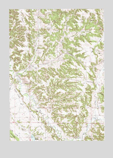
Linden, WY USGS Topographic Map
Click on map above to begin viewing in our Map Viewer.

This topographic map contains these locations and features:
Feature Name Type Latitude Longitude GNIS ID View Map
Barton SchoolSchoolN44.3142°W104.6038°1585169View Map
Beaver CreekStreamN44.2708°W104.5111°1585310View Map
Coal DivideRidgeN44.3436°W104.5072°1586815View Map
Dark CanyonValleyN44.2561°W104.5244°1587353View Map
Douglas SchoolSchoolN44.2505°W104.5372°1587753View Map
Enlargement Little Pine Ridge DamDamN44.2567°W104.6172°1607378View Map
Enlargement Little Pine Ridge ReservoirReservoirN44.2567°W104.6172°1607379View Map
Fescue CreekStreamN44.3058°W104.5066°1588437View Map
Fred DamDamN44.3550°W104.5705°1607622View Map
Fred ReservoirReservoirN44.3550°W104.5705°1607623View Map
Gose Ranch Property MineMineN44.2764°W104.5877°1726359View Map
Hagerman DamDamN44.2517°W104.5972°1607620View Map
Hagerman ReservoirReservoirN44.2527°W104.5941°1596828View Map
Houston CreekStreamN44.3119°W104.6161°1604336View Map
LindenPopulated PlaceN44.3205°W104.5963°1597383View Map
Little Houston CreekStreamN44.3203°W104.5986°1600994View Map
Little Pine RidgeRidgeN44.2533°W104.6191°1590842View Map
Montgomery CanyonValleyN44.3367°W104.5550°1591694View Map
Newman DivideRidgeN44.3642°W104.6063°1601690View Map
Norris DivideRidgeN44.2736°W104.5916°1592087View Map
Oak CanyonStreamN44.2975°W104.5080°1590006View Map
Pyles and Olson MineMineN44.3317°W104.5272°1726483View Map
Richard DamDamN44.2817°W104.5488°1607610View Map
Richard ReservoirReservoirN44.2817°W104.5488°1607611View Map
South Fork Little Houston CreekStreamN44.3486°W104.5522°1594662View Map
Spring CreekStreamN44.3572°W104.5852°1594843View Map
Steven DamDamN44.3133°W104.5005°1607410View Map
Steven ReservoirReservoirN44.3133°W104.5005°1607411View Map

Note: Coordinates in the location and feature list above are referenced to NAD83 datum.


Copyright (C) 2008-2024 Ryan Niemi / Sunset Dynamics ... All Rights Reserved