TopoQuest Logo
Do you find TopoQuest useful?
Help keep TopoQuest running and adding new maps/features by donating!
Bitcoin:  19c7KJd3qBynnjoSw5npx9KScwjBe4ifkT
Litecoin:  LXs6TkuXGGXo1vDsWCkWVdjQX94eUKd6ui
Home View Maps Find Maps Find Places Resources & Links


Medicine Rocks State Park, Montana Topographic Map

USGS Map Title: Medicine Rocks State Park, MT
USGS Map MRC: 46104A4
DRG (GeoTIFF) Download: o46104a4.tif


Neighboring USGS Topographic Map Quads:


  Seven-up Butte, MT  
46104B5
 

  Sportsman Pond, MT  
46104B4
 

  Willard, MT  
46104B3
 

  Piney Butte, MT  
46104A5
 

  Medicine Rocks State Park, MT  
46104A4
 

  Willard SE, MT  
46104A3
 

  Ekalaka, MT  
45104H5
 

  Terrell Creek, MT  
45104H4
 

  Dutchmans Hill, MT  
45104H3


Map MRC Location:

N47°
W105°
N47°
W104°
H8 H7 H6 H5 H4 H3 H2 H1
G8 G7 G6 G5 G4 G3 G2 G1
F8 F7 F6 F5 F4 F3 F2 F1
E8 E7 E6 E5 E4 E3 E2 E1
D8 D7 D6 D5 D4 D3 D2 D1
C8 C7 C6 C5 C4 C3 C2 C1
B8 B7 B6 B5 B4 B3 B2 B1
A8 A7 A6 A5 A4 A3 A2 A1
N46°
W105°
N46°
W104°

Medicine Rocks State Park, MT USGS 1:24K Topographic Map Preview:
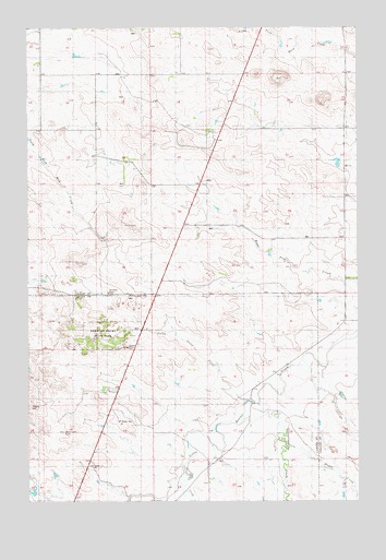
Medicine Rocks State Park, MT USGS Topographic Map
Click on map above to begin viewing in our Map Viewer.

This topographic map contains these locations and features:
Feature Name Type Latitude Longitude GNIS ID View Map
03N58E05AAA_01 WellWellN46.0519°W104.4661°813856View Map
03N58E12BDCB01 WellWellN46.0347°W104.4691°813822View Map
03N59E20BCCB01 WellWellN46.0058°W104.3886°813743View Map
04N58E08BACD01 WellWellN46.1228°W104.4813°814086View Map
04N58E10DDAC01 WellWellN46.1147°W104.4972°814055View Map
04N58E30ADD_01 WellWellN46.0753°W104.4897°813925View Map
04N59E10DBBB01 WellWellN46.1161°W104.3774°814059View Map
Alcatraz RockPillarN46.0550°W104.4699°799271View Map
Castle RockPillarN46.0408°W104.4630°799396View Map
Greasewood CreekStreamN46.0258°W104.4136°799391View Map
Hagen CreekStreamN46.0144°W104.4019°799390View Map
Medicine RocksAreaN46.0444°W104.4713°1688692View Map
Medicine Rocks CampgroundLocaleN46.0417°W104.4708°1721487View Map
Medicine Rocks ChurchChurchN46.0544°W104.4563°799395View Map
Medicine Rocks State ParkParkN46.0444°W104.4713°799485View Map
Red Root Post Office (historical)Post OfficeN46.0367°W104.4691°1688713View Map
Roosevelt RockSummitN46.0444°W104.4713°1688693View Map
Sheep Camp CreekStreamN46.0267°W104.4172°799382View Map
Sikorski Ranch AirportAirportN46.1065°W104.4040°806406View Map
Sikorsky and Sons DamDamN46.0933°W104.3872°797495View Map
Stone Lady RockSummitN46.0186°W104.4872°799383View Map
Terrell CreekStreamN46.0103°W104.4402°799389View Map

Note: Coordinates in the location and feature list above are referenced to NAD83 datum.


Copyright (C) 2008-2025 Ryan Niemi / Sunset Dynamics ... All Rights Reserved