TopoQuest Logo
Do you find TopoQuest useful?
Help keep TopoQuest running and adding new maps/features by donating!
Bitcoin:  19c7KJd3qBynnjoSw5npx9KScwjBe4ifkT
Litecoin:  LXs6TkuXGGXo1vDsWCkWVdjQX94eUKd6ui
Home View Maps Find Maps Find Places Resources & Links


Plentywood SW, Montana Topographic Map

USGS Map Title: Plentywood SW, MT
USGS Map MRC: 48104G6
DRG (GeoTIFF) Download: o48104g6.tif


Neighboring USGS Topographic Map Quads:


  Outlook, MT  
48104H7
 

  Plentywood NW, MT  
48104H6
 

  Raymond, MT  
48104H5
 

  Archer, MT  
48104G7
 

  Plentywood SW, MT  
48104G6
 

  Plentywood, MT  
48104G5
 

  Soo NE, MT  
48104F7
 

  Kisler Butte, MT  
48104F6
 

  Shippe Canyon, MT  
48104F5


Map MRC Location:

N49°
W105°
N49°
W104°
H8 H7 H6 H5 H4 H3 H2 H1
G8 G7 G6 G5 G4 G3 G2 G1
F8 F7 F6 F5 F4 F3 F2 F1
E8 E7 E6 E5 E4 E3 E2 E1
D8 D7 D6 D5 D4 D3 D2 D1
C8 C7 C6 C5 C4 C3 C2 C1
B8 B7 B6 B5 B4 B3 B2 B1
A8 A7 A6 A5 A4 A3 A2 A1
N48°
W105°
N48°
W104°

Plentywood SW, MT USGS 1:24K Topographic Map Preview:
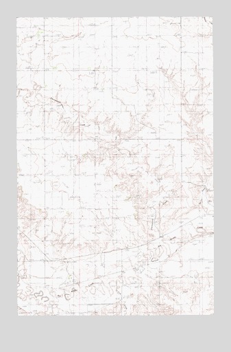
Plentywood SW, MT USGS Topographic Map
Click on map above to begin viewing in our Map Viewer.

This topographic map contains these locations and features:
Feature Name Type Latitude Longitude GNIS ID View Map
35N53E01AD__01 WellWellN48.8167°W104.7144°1636689View Map
35N53E01ADCC01 WellWellN48.8167°W104.7158°1636690View Map
35N53E25DDCC01 WellWellN48.7667°W104.7166°1636432View Map
35N54E05ABDB01 WellWellN48.8217°W104.6744°1636713View Map
35N54E10ACAB01 WellWellN48.8050°W104.6311°1636631View Map
35N54E10ACCA01 SpringSpringN48.8034°W104.6333°1636621View Map
35N54E20CCAA01 WellWellN48.7689°W104.6850°1636444View Map
36N54E34CDDD01 WellWellN48.8242°W104.6352°1636719View Map
Ford CreekStreamN48.7645°W104.6875°767951View Map
Hamley School (historical)SchoolN48.8184°W104.7214°1677441View Map
Midby (historical)LocaleN48.7678°W104.6861°1677562View Map
Midby (historical)Populated PlaceN48.7678°W104.6861°774138View Map
Midby Post Office (historical)Post OfficeN48.7678°W104.6861°1677561View Map
Nickerson School (historical)SchoolN48.8659°W104.6825°1677440View Map
Olson School (historical)SchoolN48.8242°W104.7339°1677448View Map
Plentywood Bench Lutheran Church (historical)ChurchN48.8242°W104.7339°1677487View Map
Plentywood CreekStreamN48.7797°W104.6589°775296View Map
Plentywood DivisionCivilN48.8223°W104.6901°1940692View Map
Sloneker School (historical)SchoolN48.8678°W104.7297°1677438View Map

Note: Coordinates in the location and feature list above are referenced to NAD83 datum.


Copyright (C) 2008-2025 Ryan Niemi / Sunset Dynamics ... All Rights Reserved